Torry Island Inlet
| Pahokee, Florida United States | |
| 26° 46' 42.96'', -80° 41' 47.05'' | |
| Moore Haven |


You might also consider...


About
Introduction:
Located just south of the town of Pahokee on the east side of Lake Okeechobe, the Torry Island Inlet carries boating traffic north and south along the rim route (Okeechobee Waterway Route 2) east of Torry Island. The cut running behind Torry Island runs about 6.2 miles south until it meets the Hillsboro Canal near Belle Glade.
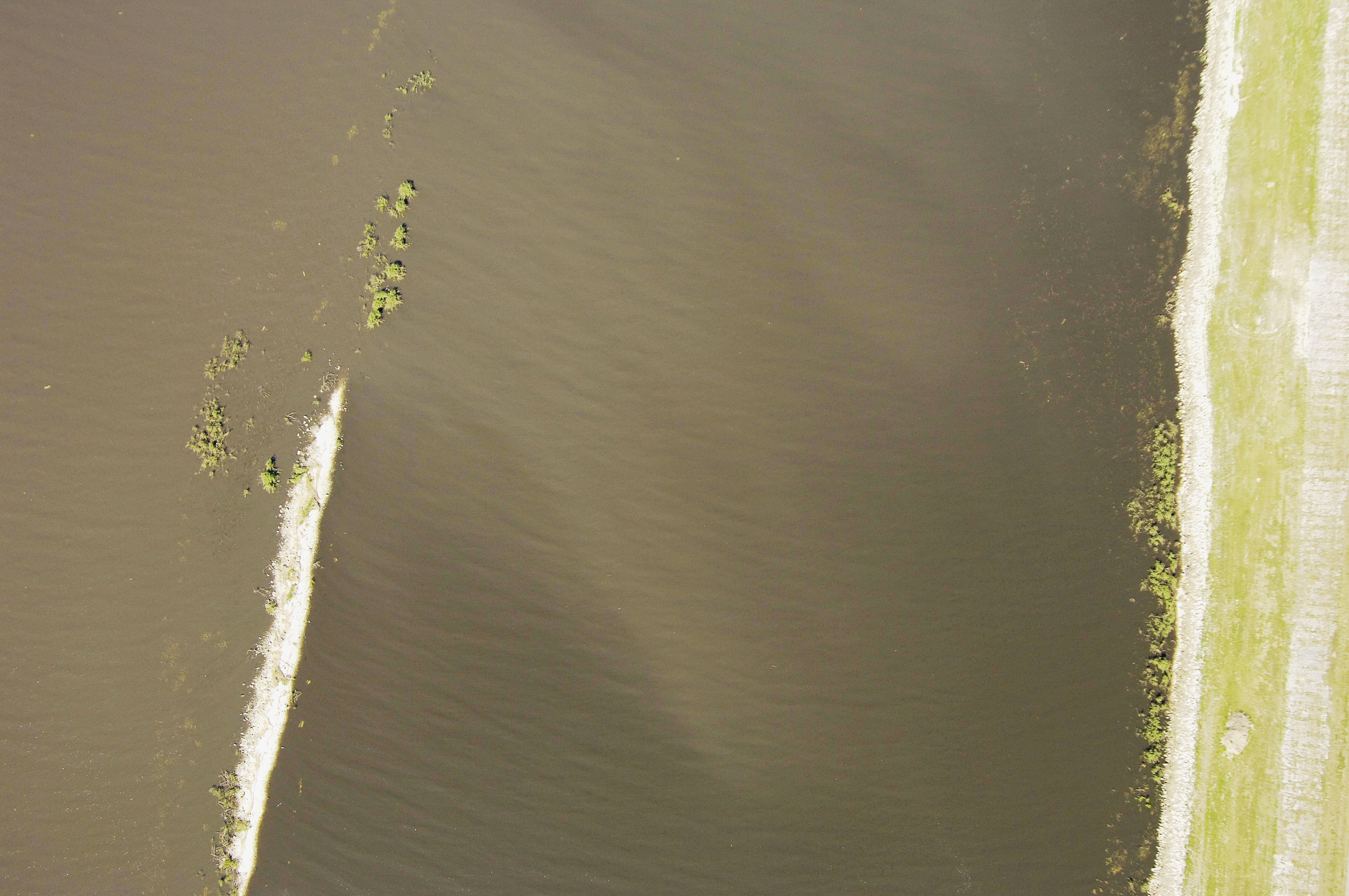
The image above is a view from the north looking south over the entrance to passage behind Torry Island. The mainland is to the left (east) and the northern tip of Torry Island can be seen to the right (west). Red daybeacon 82, located at the beginning of the approach channel, is visible near the bottom of the image.
Navigating the Water:
Use NOAA Chart 11428.
Navigating Torry Island Inlet is safe and easy, as long as lake levels are at adequate levels. You will have heard by now if lake levels are low, and if they are, proceed accordingly.
Red daybeacon 82 (visible in the image above - lower center) marks the turn to the south-southeast at the large spoil island to the west. From here, head south to pick up red daybeacons 84, 86, and 88 farther down the channel. Goodfacilities are located in Belle Glade about 6 miles south.
Local Notices to Mariners:
Local Notices to Mariners are available online from the U.S. Coast Guard.