Murrells Inlet
| Murrells Inlet, South Carolina United States | |
| 33° 31' 18.13'', -79° 1' 59.15'' | |
| Murrells Inlet |


About
Introduction:
Although not accessible from the Intracoastal Waterway (ICW), Murrells Inlet the inlet and Murrells Inlet the town are both interesting stopping points for offshore cruisers making their way up or down this portion of the Atlantic Coast. Murrells Inlet is 20 miles northeast of Georgetown and 35 miles southwest of the South Carolina-North Carolina border.
Inside the inlet you will find the town that shares its name, Murrells Inlet, where you can find a couple of small marinas that cater to fishing boats, but may be able to offer a slip for the evening if space allows. There are several good seafood restaurants in town and a market for stocking the galley.
Navigating the Water:
Use NOAA Chart 11534.
Advance local knowledge is required to run Murrells Inlet. Depths are reported to be fairly stable, but the channel does shift with the movement of the tide. Radio ahead to one of the marinas in town for current conditions before attempting the inlet and do not try it at all if your boat draws more than four feet.
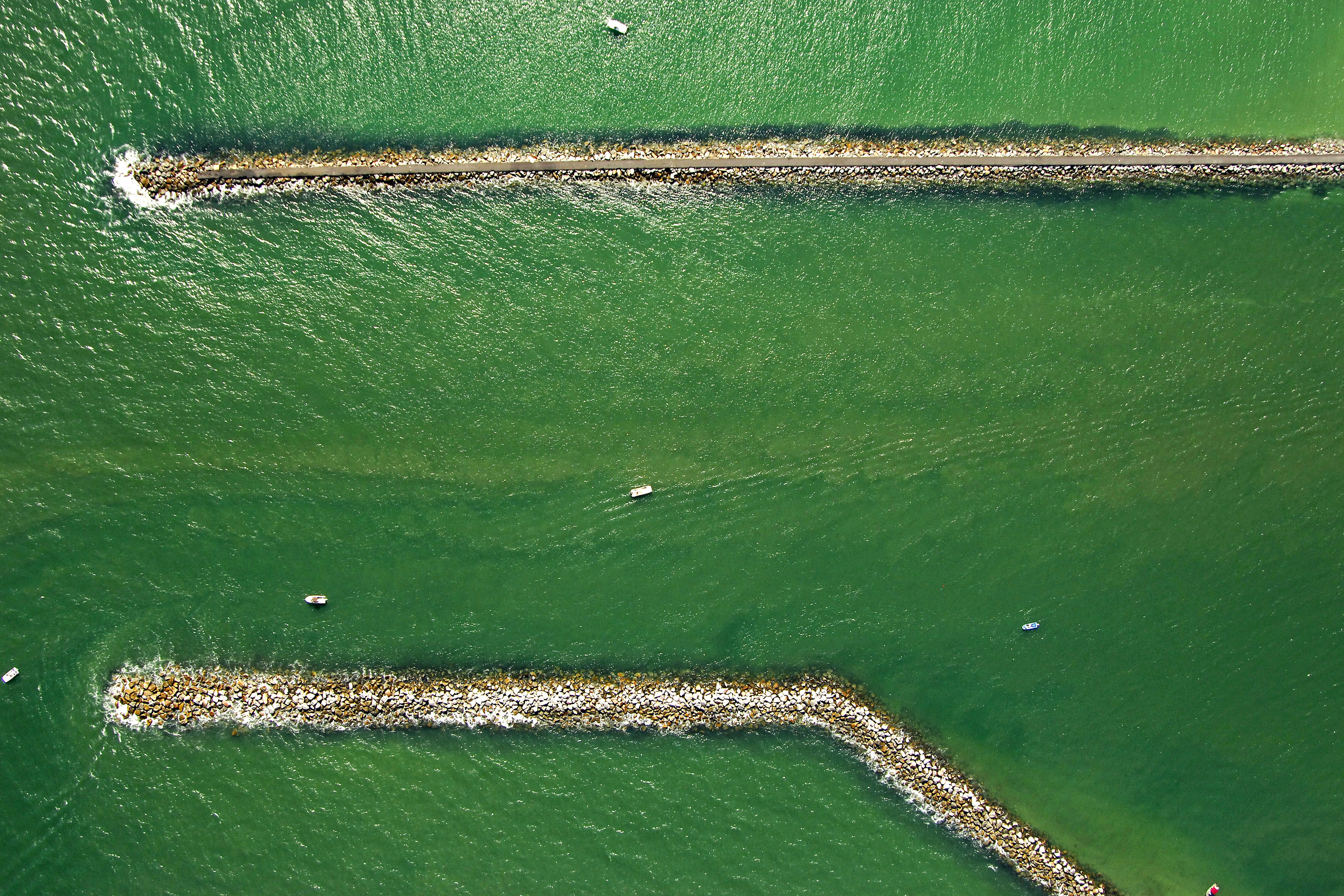
Quick flashing green 1 and quick flashing red 2 mark the south and north jetties of the inlet, respectively (visible in the image above). Once inside the jetties, set a course for red nun 4, and then head west toward green can 7 and quick flashing red buoy 6 south of The Point as you curve north toward Goat Island and the passage to the town waterfront.
Local Notices to Mariners:
Local Notices to Mariners are available online from the U.S. Coast Guard.