Point Pinos Lighthouse
| California United States | |
| 36° 37' 59.88'', -121° 56' 2.39'' | |
| Monterey Harbor |


You might also consider...


About
Introduction:
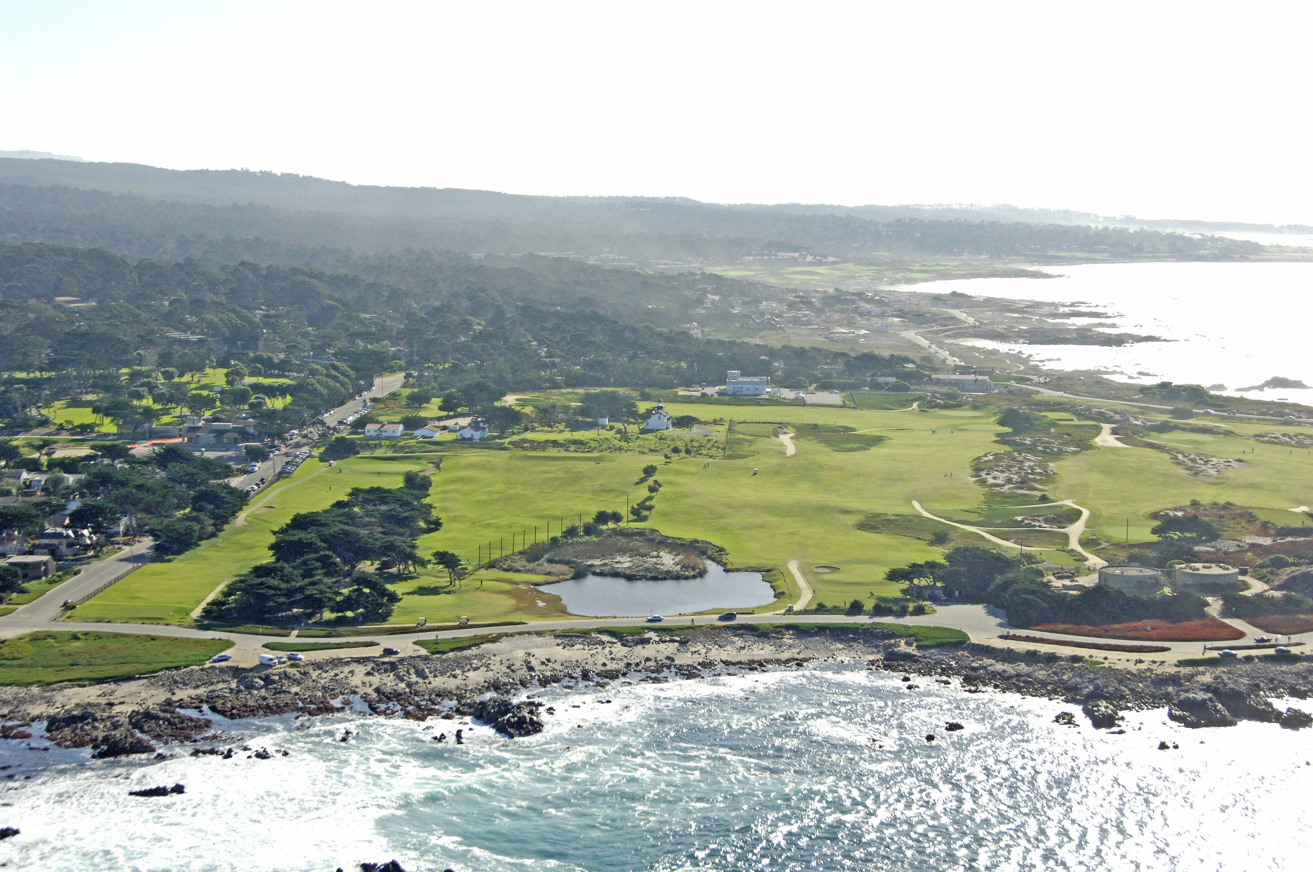
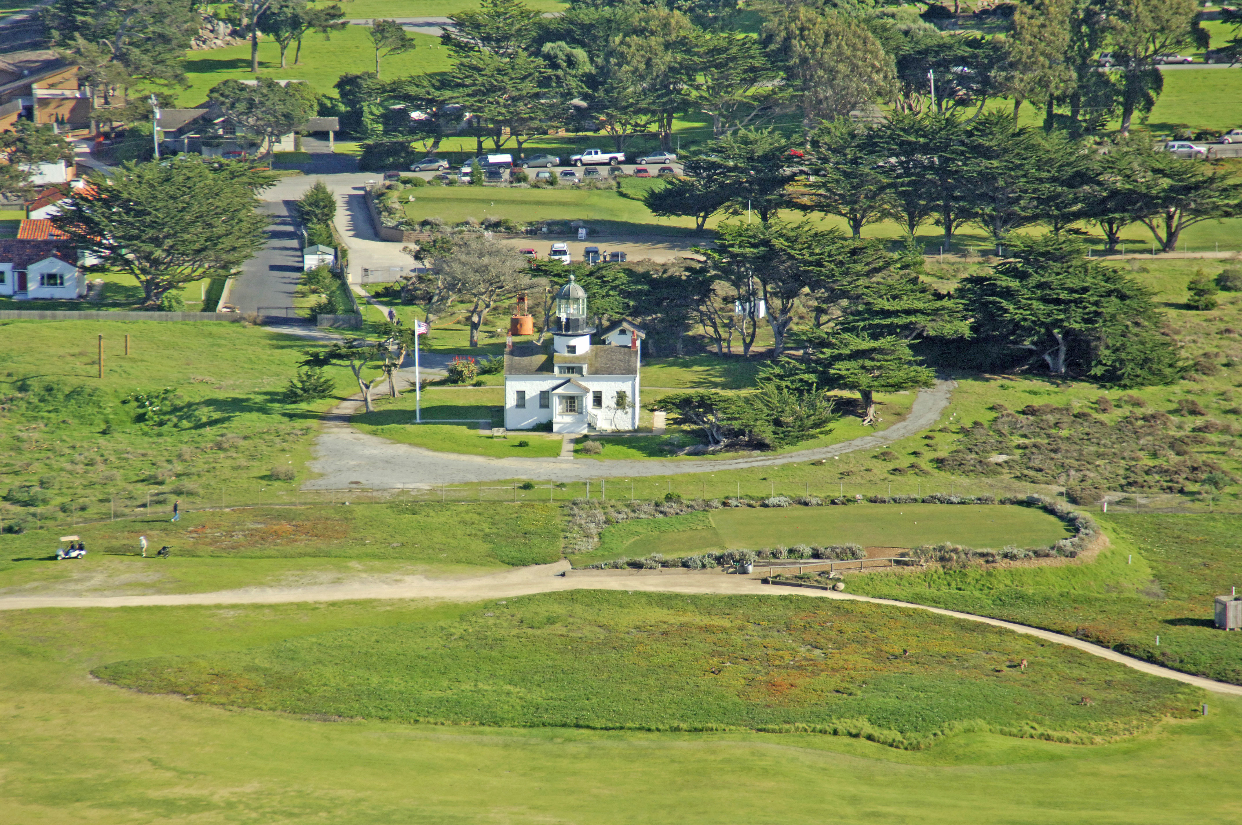
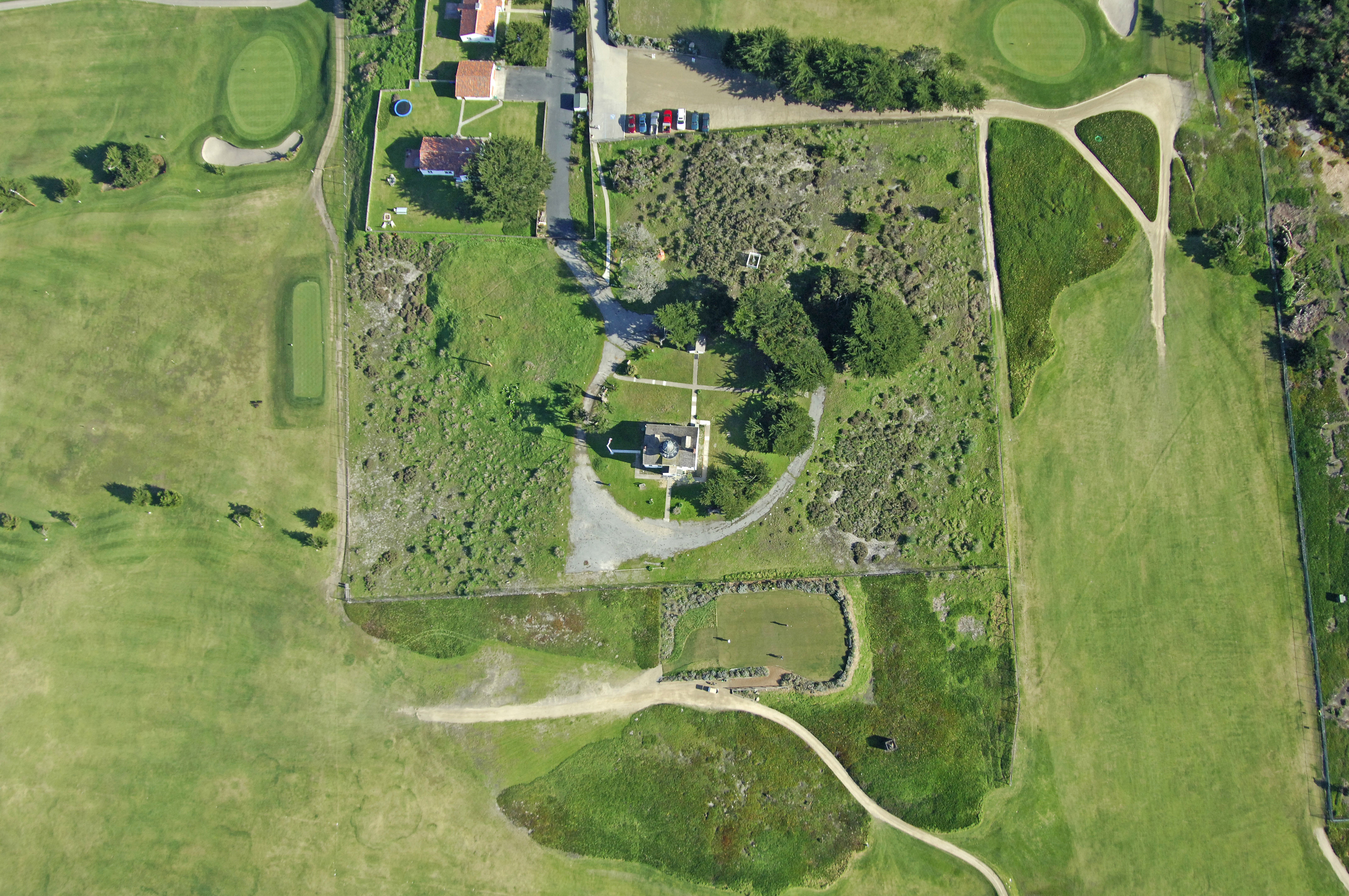
Located on the northernmost point of the Monterey Peninsula, Point Pinos Lighthouse is the long-distance aid to navigation for the entrance into Monterey Harbor and the southern part of Monterey Bay.
History:
The original structure was completed in 1854, and the light was lit in 1855. Another victim of the strong 1906 San Francisco Earthquake, the tower and lens were both damaged during the severe jolt, but were later repaired to working order.
The light was electrified in 1915, a fog signal added in 1926 and the USCG automated the light in 1975.
Navigating in and Around the Lighthouse:
Use NOAA Chart 18685.
Characteristics: Occulting white light every four seconds 89 feet above the water.
Local Notices to Mariners:
Local Notices to Mariners are available online from the U.S. Coast Guard.
Tour Schedule:
The lighthouse and surrounding grounds are open from 1 to 4 p.m. Thursday through Sunday.