Table Bluff Lighthouse


About
Introduction:
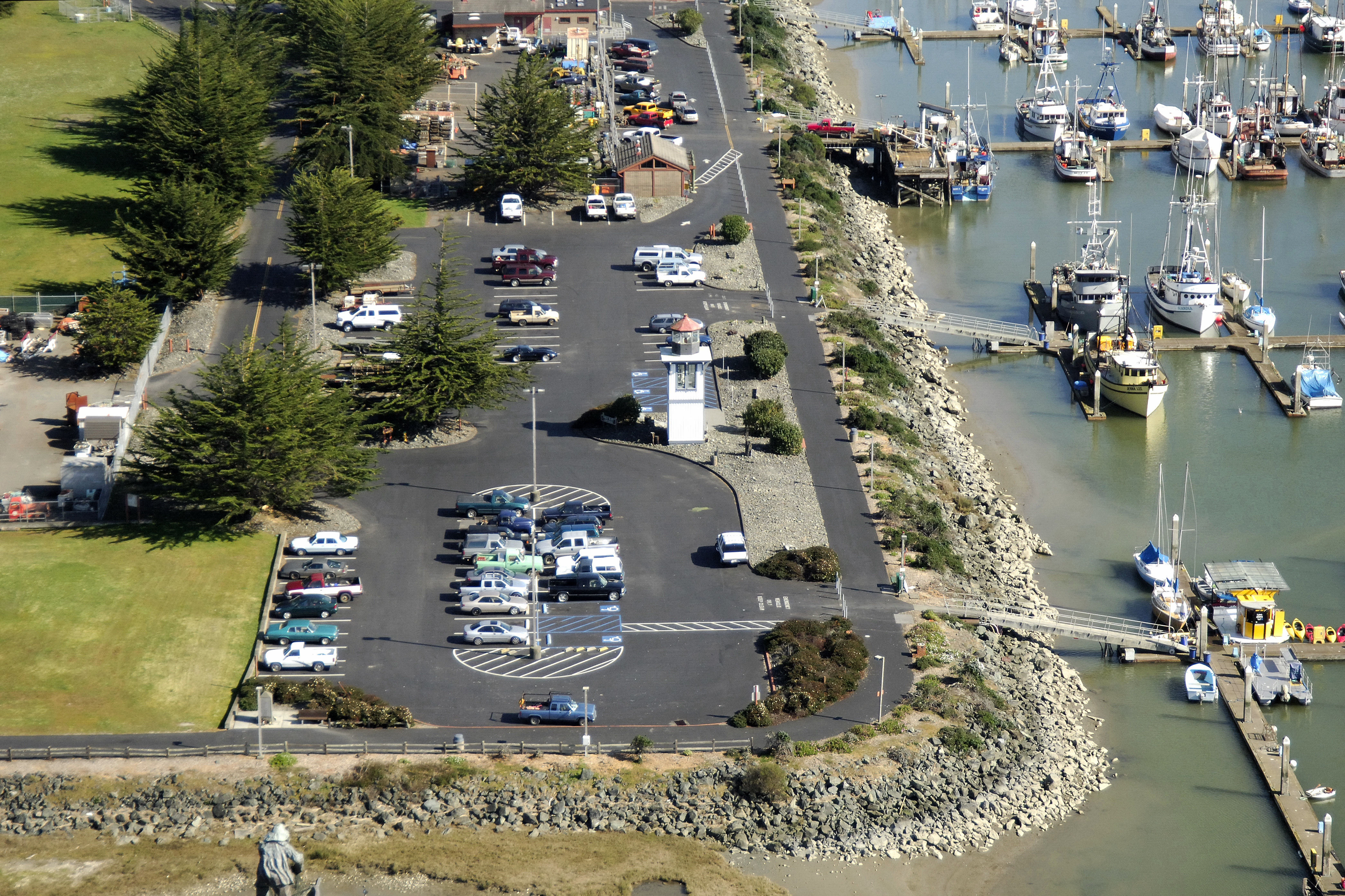
The Table Bluff Lighthouse, which once stood on the South Spit of Humboldt Bay, now stands restored at Woodley Island Marina in Eureka. It currently serves no official navigational purpose.
History:
The original lighthouse was constructed on the North Spit in 1856, but was demolished during a storm there during the 1930s. The second light at Table Bluff was lit iin 1892. This lighthouse was automated in the 1950s and abandoned altogether in 1975.
The tower was eventually moved to Eureka.
Navigating in and Around the Lighthouse:
Use NOAA Chart 18622.
Characteristics: This light serves as a historical landmark only.
Local Notices to Mariners:
Local Notices to Mariners are available online from the U.S. Coast Guard.
Tour Schedule:
The lighthouse now stands at Woodley Island Marina where it can be viewed.
Reviews
No reviews yet! Be the first to write a review of Table Bluff Lighthouse.