


Berkeley Marina Harbor
Berkeley, California United States
Marinas near Berkeley Marina Harbor
| Name | Reviews | Max LOA | VHF | Dock Depth | Gas / Diesel | Lift / Crane | Wifi | Amps |
|---|---|---|---|---|---|---|---|---|
| OCSC Sailing School | - | - | - | - | - | - | - | - |
| Berkeley Yacht Club | - | 0.0' | - | Low 0.0 mHigh 0.0' | - | - | - | - |
| Berkeley Marine Center | - | 0.0' | - | Low 0.0 mHigh 0.0 m | - | - | - | - |
| Berkeley Marina | 100.0' | - | Low 0.0 mHigh 0.0' | - | - | 30 amp & 50 amp | ||
| Cal Sailing Club | - | - | - | - | - | - | - | - |
| Safe Harbor Emeryville | 125.0' | - | Low 0.0'High 0.0' | G$7.599/galD$6.942/gal | - | 30, 50 | ||
| Emery Cove Yacht Harbor | 0.0' | - | Low 0.0 mHigh 0.0' | GYesDYes | - | - | - | |
| Marina Bay Yacht Club | - | 0.0 m | - | Low 0.0 mHigh 0.0' | - | - | - | - |
| Safe Harbor Marina Bay Yacht Harbor | 0.0 m | 16 | Low 0.0 mHigh 0.0' | - | - | - | - | |
| Salute Restaurant | - | - | - | - | - | - | - | - |
| The Brickyard Richmond Marina | 0.0' | - | Low 0.0 mHigh 0.0' | - | CYes | - | ||
| Treasure Island Yacht Harbor | - | - | - | - | - | - | - | - |
| Treasure Isle Marina | - | - | - | - | - | - | - | - |
| Richmond Yacht Club | - | - | - | - | - | - | - | - |
| Channel Marina | - | - | - | - | - | - | - | - |
Introduction:
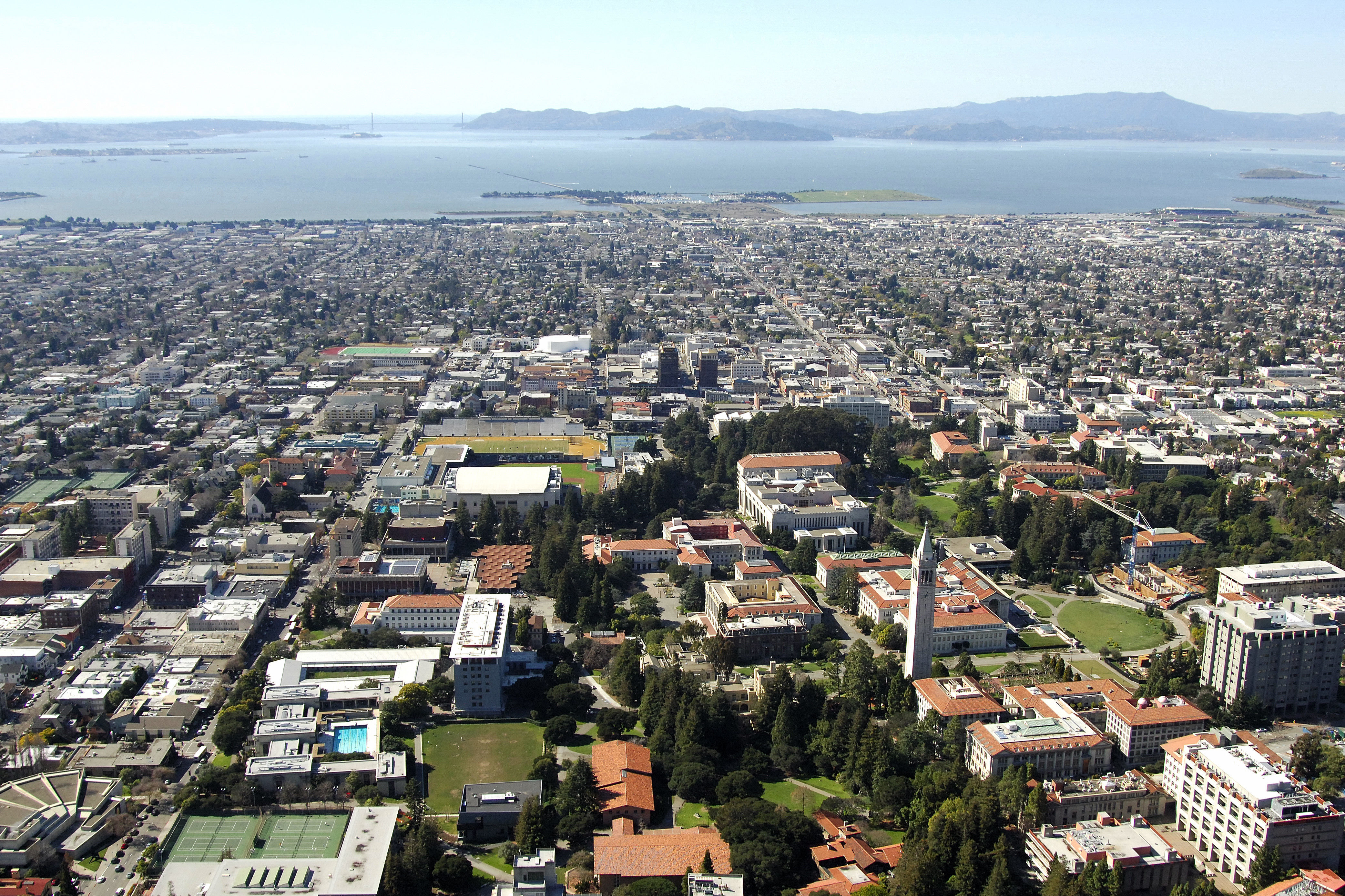
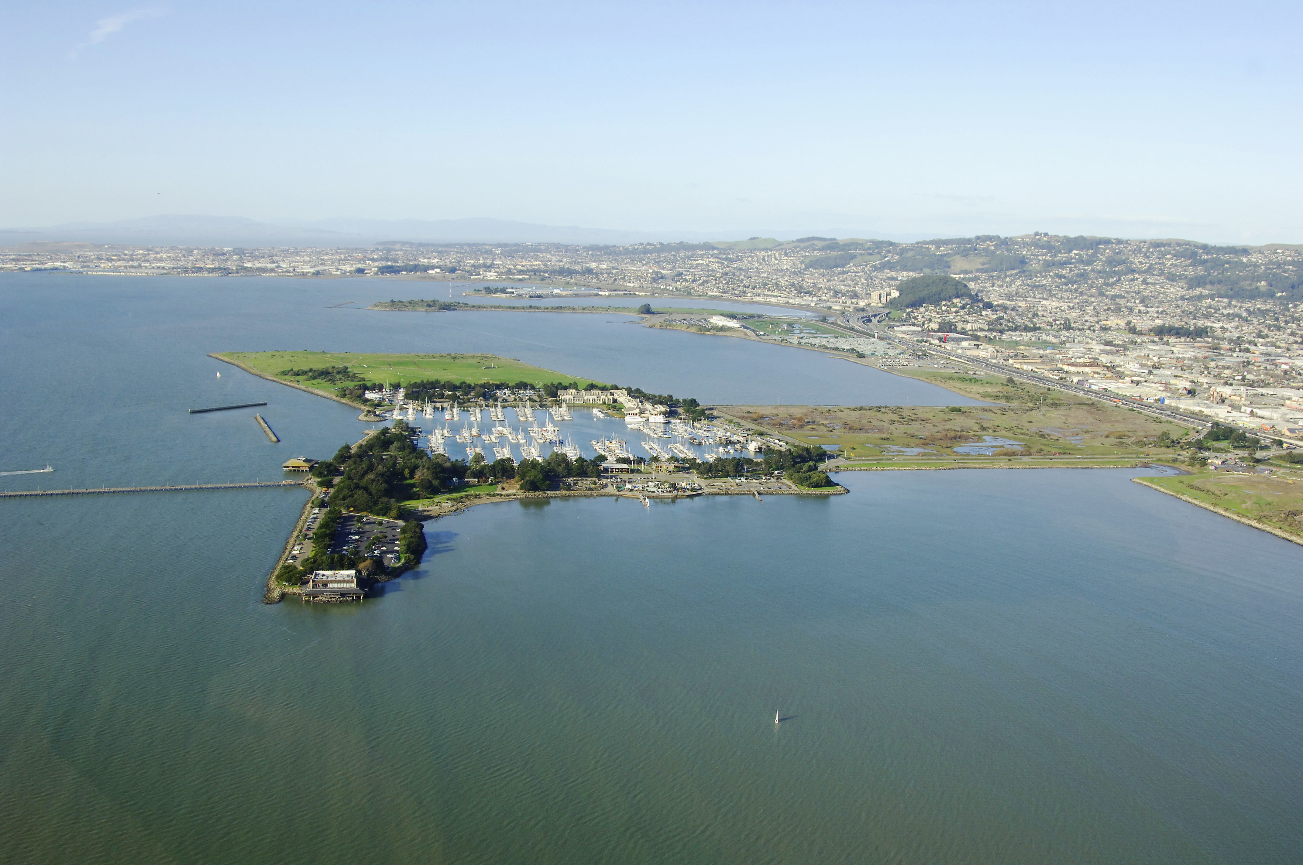
Located east of downtown San Francisco, and about a five-mile journey across San Francisco Bay, Berkeley Harbor is one of the largest marina facilities on the east side of the bay within easy reach of the city of San Francisco. A center for cultural and ethnic diversity, Berkeley is also home to the University of California at Berkeley.
Navigating the Water:
Use NOAA Chart 18653.
Approach from the southeast. Pieces of the old Berkeley Pier juts out into San Francisco Bay from the harbor area and are well charted, but unmarked. The approach is lit by several fixed, flashing lights starting with flashing green 3 followed by a series of fixed flashing lights that mark the outer breakwalls and edges of the entrance into the harbor. Flashing green 1 and flashing red 2 mark the parallel breakwaters along with a white flashing mark light in the middle. Beyond the parallel breakwater, a breakwater to the north has two lights and the entrance to the harbor itself has two marks, one with a horn for foggy periods. Depths are seven to nine feet on the approach on the approach and 12 to 16 feet inside the harbor.
Local Notices to Mariners:
Local Notices to Mariners are available online from the U.S. Coast Guard.
Things To Do/Local Events:
See the Helpful Links section at the bottom of this page for more detailed information.
Helpful Links:
Berkeley Convention and Visitors Bureau