


Fort Bragg Harbor
California United States
Marinas near Fort Bragg Harbor
| Name | Reviews | Max LOA | VHF | Dock Depth | Gas / Diesel | Lift / Crane | Wifi | Amps |
|---|---|---|---|---|---|---|---|---|
| Noyo Harbor District | 65.0' | - | - | - | CYes | - | ||
| Dolphin Isle Marina | - | 0.0' | - | Low 0.0 mHigh 0.0 m | GYesDYes | - | - | - |
| The Wharf and Anchor Lodge | - | - | - | - | - | - | - | - |
| Schooner's Landing Marina | - | - | - | - | - | - | - | - |
| Lake Pillsbury Resort Marina | - | - | - | - | - | - | - | |
| Anchorage Inn | - | - | - | - | - | - | - | - |
| Lucky 4 Trailer Park Resort & Marina | - | - | - | - | - | - | - | - |
| Holiday Harbor Marina & RV Park | - | - | - | - | - | - | - | - |
| Ferndale Resort and Marina | - | - | - | - | - | - | - | - |
| Edgewater Resort & RV Park | - | - | - | - | - | - | - | - |
| Braito's Buckingham Marina | - | - | - | - | GYes | - | - | - |
| Lake Place Resort | - | - | - | - | - | - | - | - |
| Sea Breeze Resort | - | - | - | - | - | - | - | - |
| Konocti Harbor Resort and Spa | - | - | - | - | - | - | - | - |
| Lake Sonoma Resort Area | - | - | - | - | - | - | - | - |
Introduction:
Your fist visit to Fort Bragg probably will not be your last. An odd and interesting cross between an old-time logging town, Wild West ghost town, fishing village and artist colony, Fort Bragg can keep you busy for days exploring history, shopping, or just enjoying the local atmosphere.
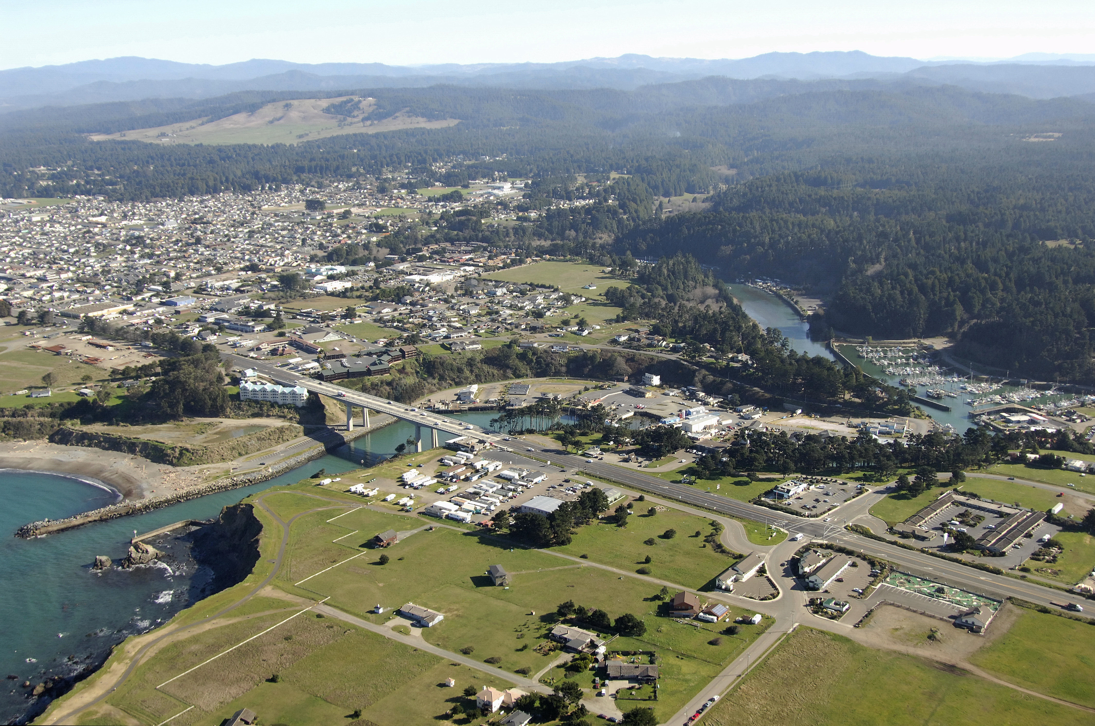
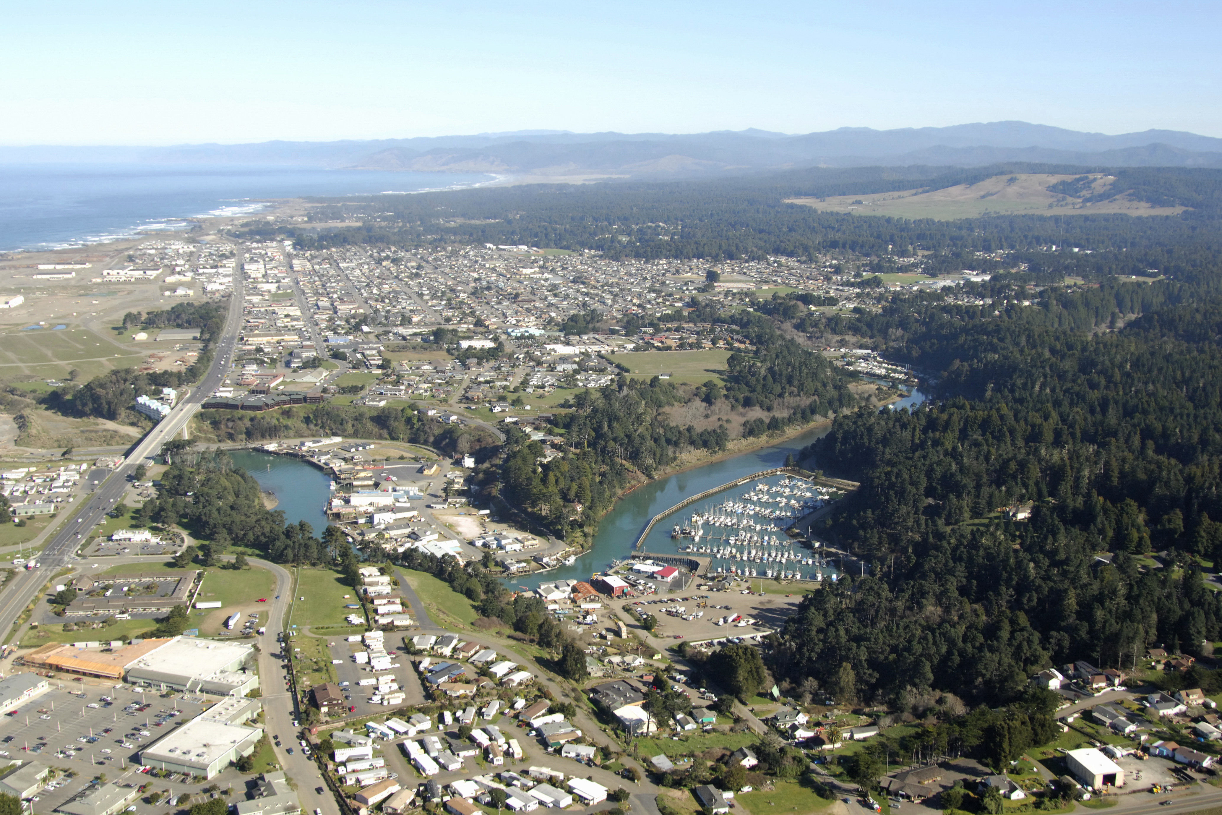
Located on the North California Coast about 130 miles north of San Francisco, Fort Bragg has its most famous roots bedded in logging, but also has a wealth of scenery, recreation and adventure to share with visitors all in a sheltered harbor for protection from the Pacific outside.
Navigating the Water:
Use NOAA Chart 18626.
Keep in mind that this chart shows depths in fathoms. One fathom equals six feet of depth.
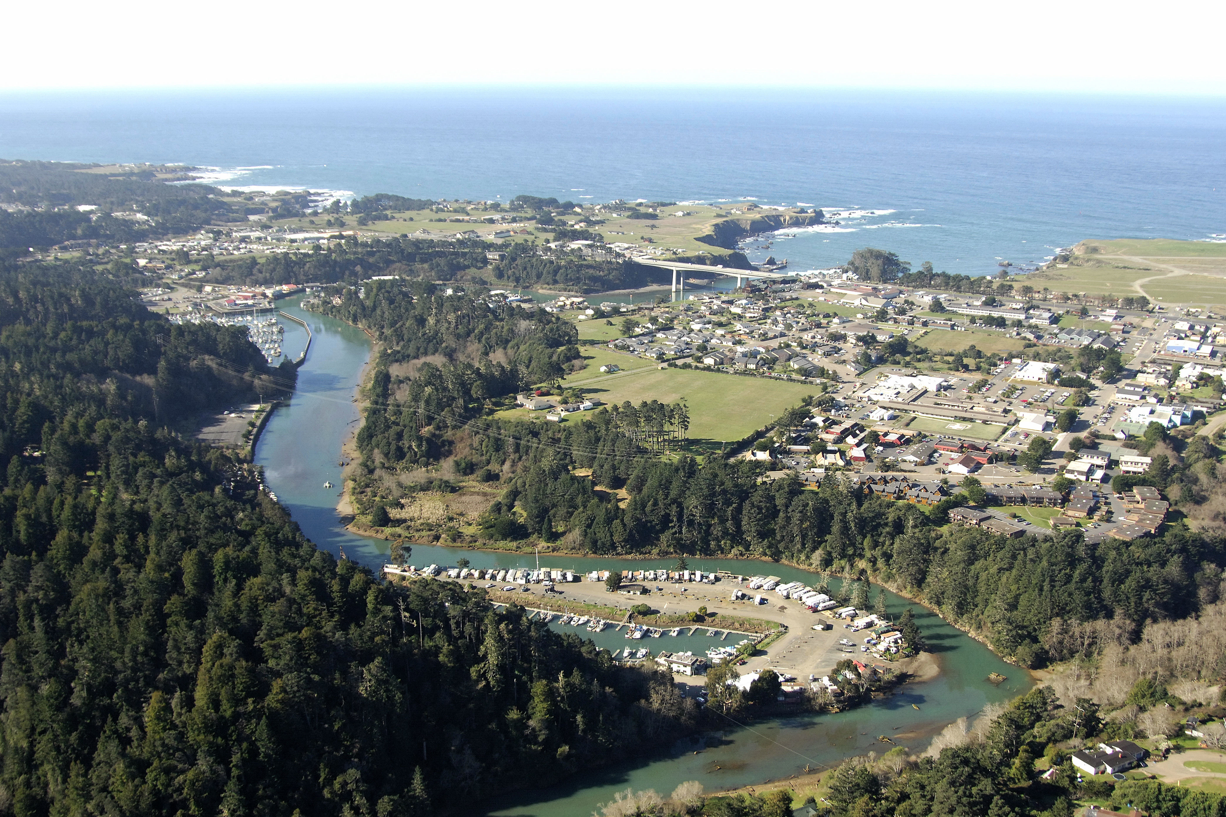
Fort Braggs town harbor is located on the Noyo River, which branches off of Noyo Bay from the Pacific Ocean. Red and white Morse (A) buoy NA marks the beginning of the approach to Noyo Bay, and then leads off to flashing red bell buoy 2 closer into shore. Once in side Noyo Bay, you will find 18- to 24-foot depths to be the prevalent feature up until the breakwatered entrance (marked with occulting green light 5 and flashing red light 8), where depths quickly shoal to six to ten feet.
A fixed bridge with a 97-foot vertical clearance crosses the Noyo River shortly pass the breakwaters, and then the town wharf is clearly visible past there.
Local Notices to Mariners:
Local Notices to Mariners are available online from the U.S. Coast Guard.