Branchport Creek Inlet
| Long Branch, New Jersey United States | |
| 40° 19' 54.12'', -73° 59' 49.92'' | |
| Sandy Hook Bay |

You might also consider...


About
Introduction:
Branchport Creek is located on the southern end of the Shrewsbury River just west of the town of North Long Beach about 11 miles south of Sandy Hook and 19 miles north of the Manasquan Inlet.
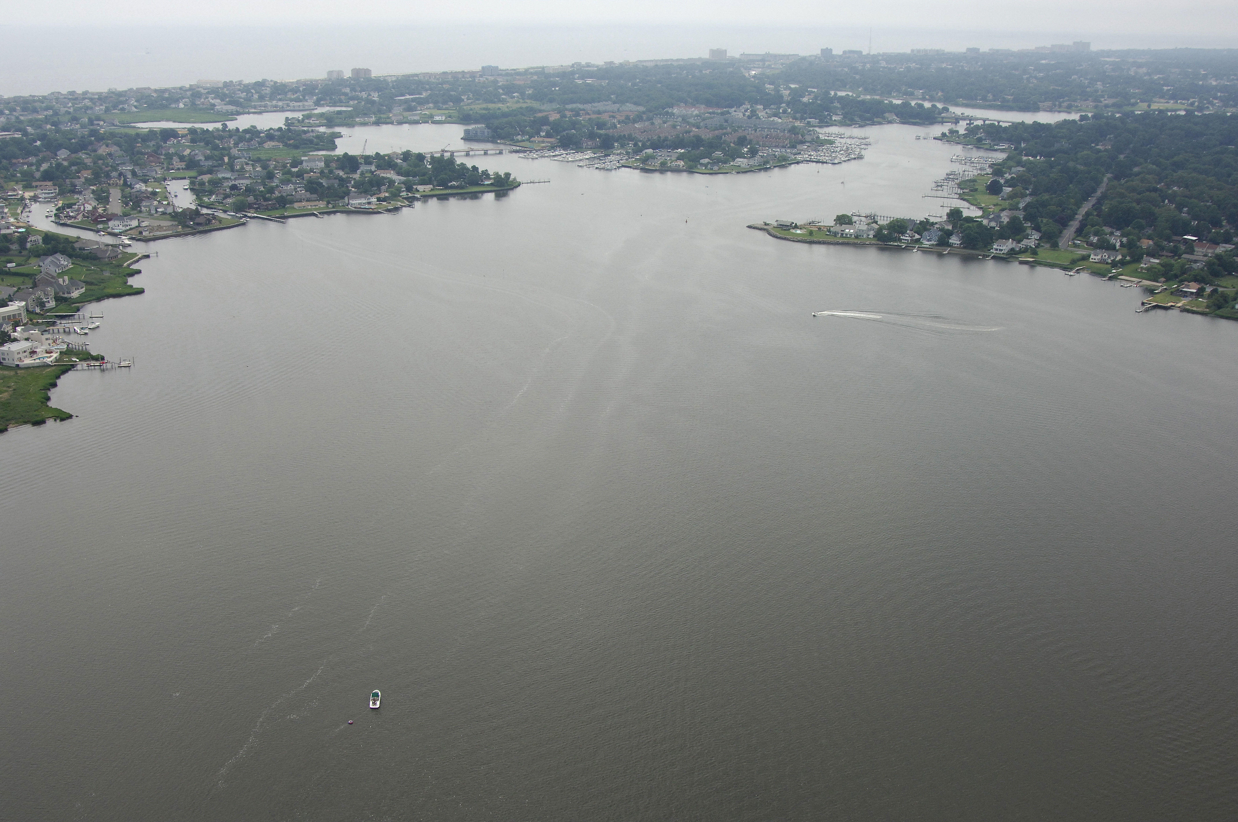
The image above is a view from the north looking south over the shared entrance to Manahassett and Branchport Creeks, but the opening is accepted as the main entrance to Branchport Creek, while Manahassett Creek is considered a tributary. Off in the distance, the Atlantic Ocean and the town of North Long Beach are visible.
Manahassett Creek is the branch of water the breaks off to the left (east), and the Patten Point Yacht Club (private - reciprocal members may have privileges) can be seen just west of a small fixed bridge that limits overhead navigation to six feet for the rest of Manahassett Creek.
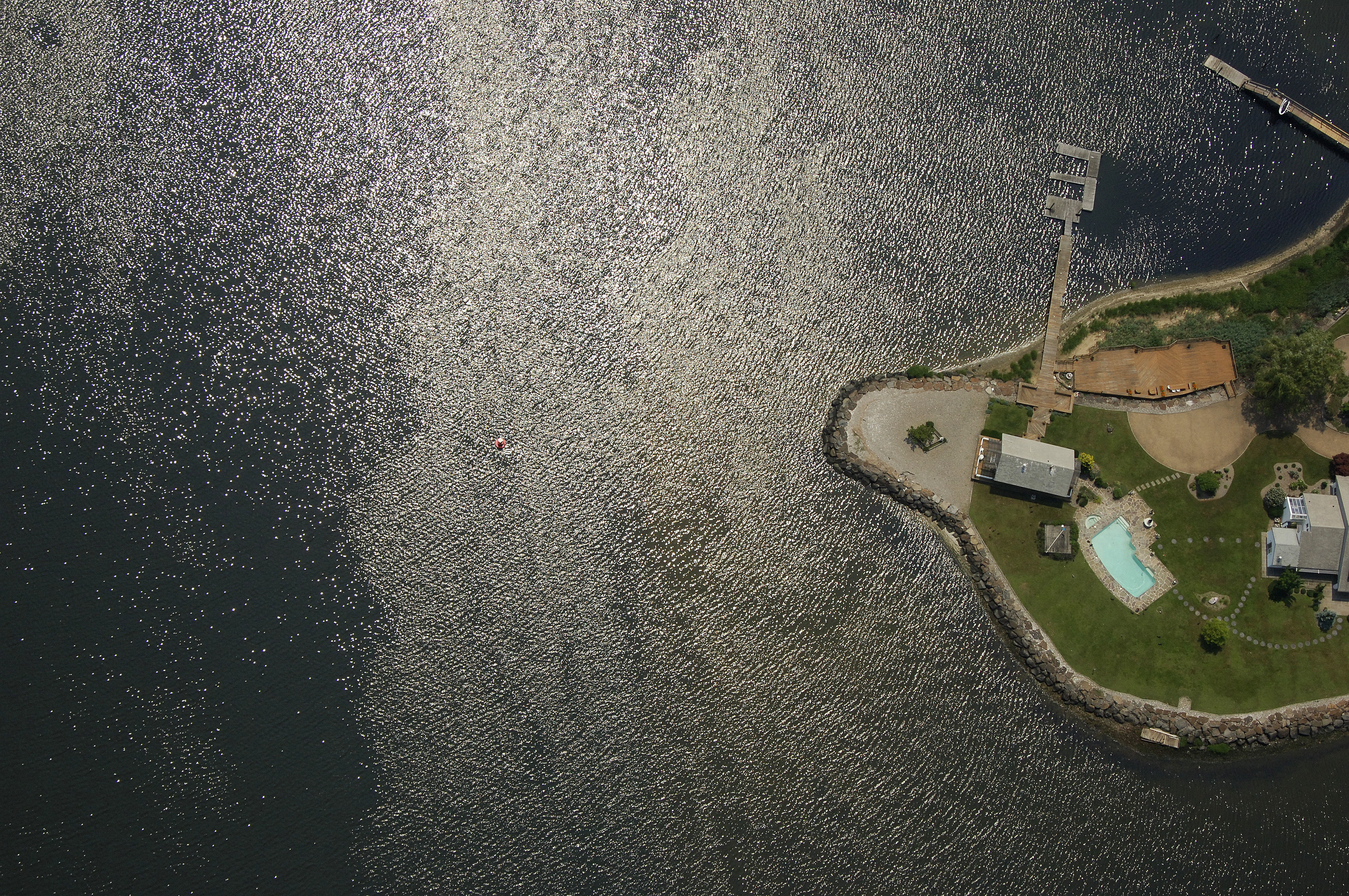
Branchport Creek winds off to the right (west), and a group of marinas including the Long Branch Ice Boat and Yacht Club, Mariners Emporium, and Pleasure Bay Yacht Basin (transient slips available) can be seen on both sides of Branchport Creek. A fixed bridge that limits overhead clearance to 25 feet for the rest of the length of Branchport Creek can be seen with a sharp eye farther up.
Navigating the Water:
Use NOAA Chart 12324.
The approach to Branchport Creek starts in the northern port of the Shrewsbury River at Sedge Island. Once you have negotiated your way south from the Navesink River into the Shrewsbury River at Sedge Island, look for flashing red buoy 28.
Once you have picked up flashing red buoy 28, you can head toward the southwest to intercept a long line of buoys that starts with flashing red 30 and green can 29 southwest of Sedge Island. From here, the following buoys lead south to the opening of Branchport Creek: Green can buoy 29A, red nun buoy 30A, flashing green buoy 31, red nun buoy 32, flashing red buoy 34, green can buoy 37, flashing red buoy 38, and then southeast toward green can 39 and flashing red 40 at the mouth of Branchport Creek. Make sure you stay in the channel and do not stray off course as you head south, as depths outside the main channel can be as shallow as two feet.
Local Notices to Mariners:
Local Notices to Mariners are available online from the U.S. Coast Guard.