High Street Bascule Bridge


Details
| Closed vertical clearance | 16 |
About
Introduction:
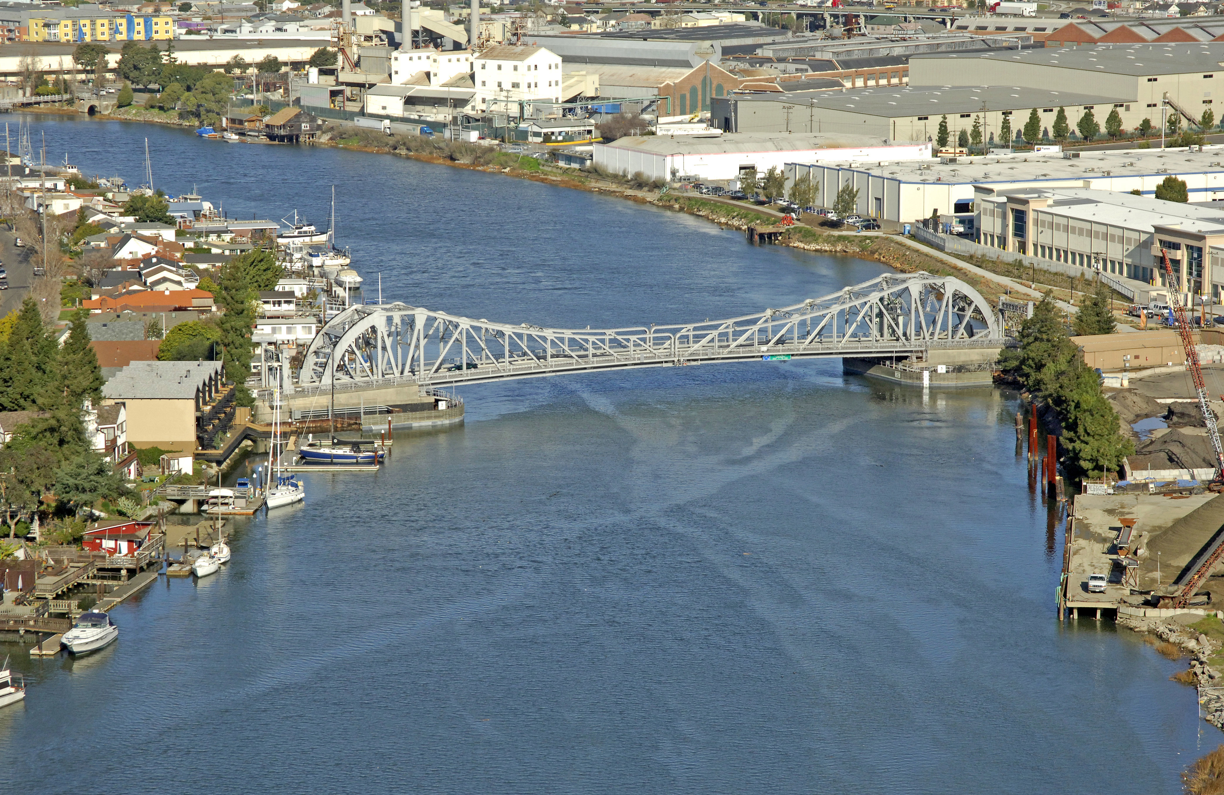
The High Street Bascule Bridge links Oakland to Alameda where the Oakland Tidal Canal empties into San Leandro Bay near the Oakland International Airport. If heading west from San Leandro Bay, this is the first in a series of many bridges; some are already open when you arrive, some open on demand, and some have restricted schedules. See our further bridge listings for details.
Navigating the Bridge:
Use NOAA Chart 18650.
Characteristics: The bridge has a closed vertical clearance of 16 feet with 129 feet of horizontal clearance in the open position. Depths in the Oakland Tidal Canal vary, but 14- to 16-foot depths are the norm.
Bridge Schedule:
The High Street Bridge operates on a restricted schedule. The bridge does not open from 9 a.m. to 9 a.m. and again from 4:30 p.m. to 6:30 p.m. daily. The bridge opens on demand at all other times, and the bridgetender can be reached via VHF on Channel 09, or via phone at 510-533-1126.
Local Notices to Mariners:
Local Notices to Mariners are available online from the U.S. Coast Guard.