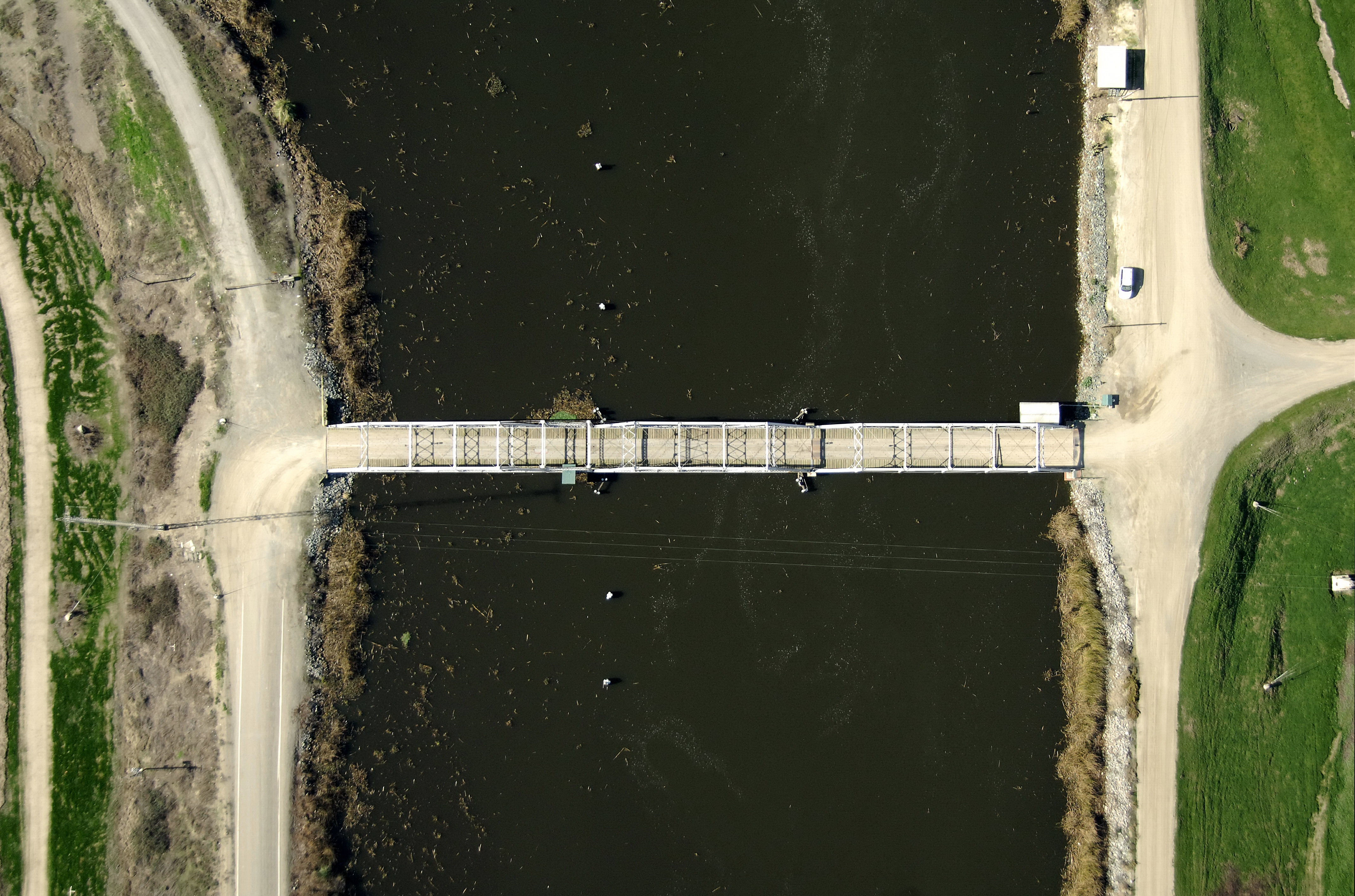
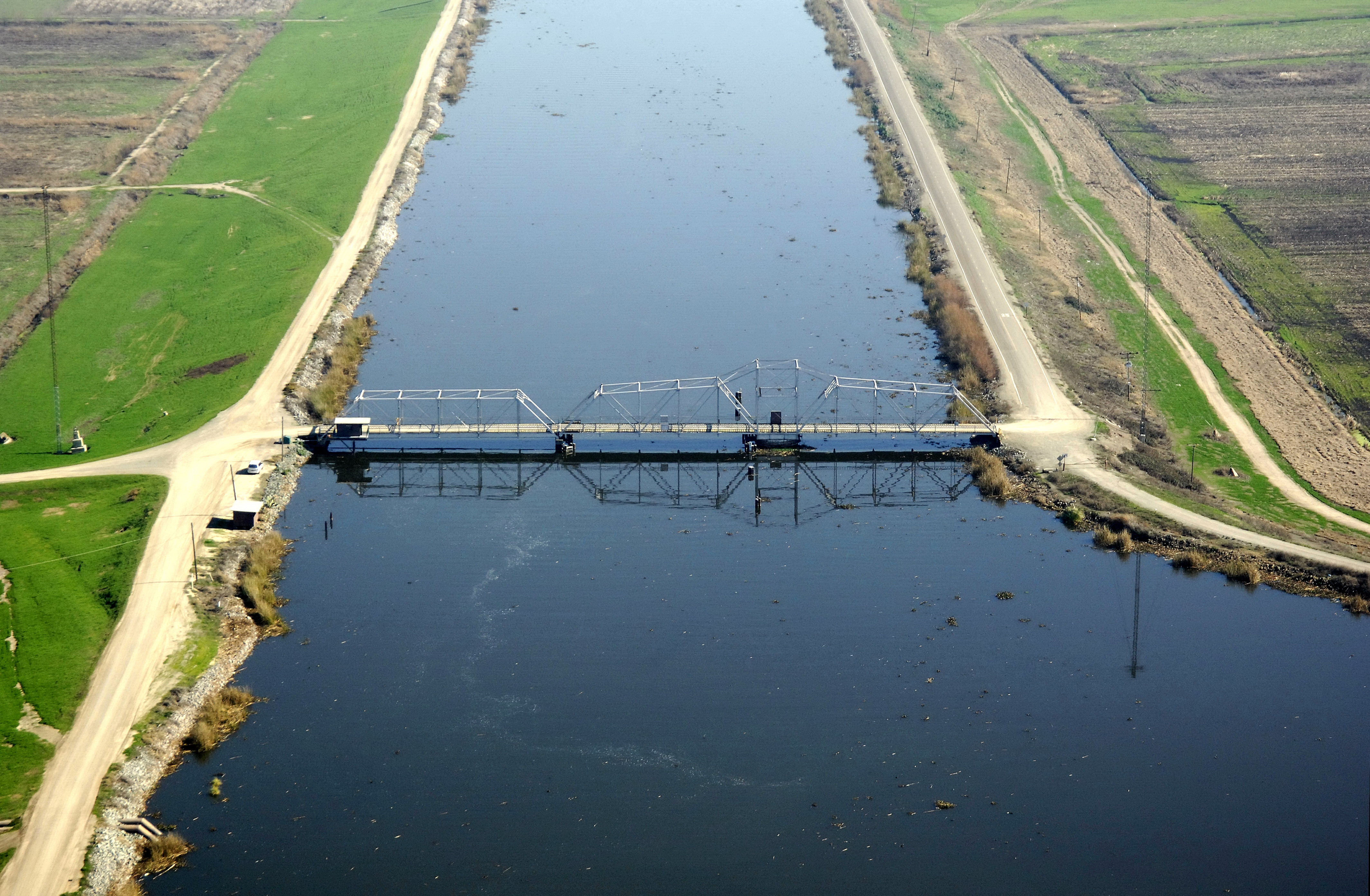
Connection Sough Swing Bridge
| California United States | |
| 38° 0' 15.12'', -121° 31' 55.19'' | |
| Korths Harbor |


Details
| Closed vertical clearance | 7 |
About
Introduction:
Connection Slough is located between submerged Mildred Island and Mandeville Island to the east.
Navigating the Bridge:
Use NOAA Chart 18661.
Characteristics: The Connection Slough Swing Bridge has a closed vertical clearance of seven feet and 95 feet of horizontal clearance at the center span. Water depths in Connection slough range from five to 24 feet.
Bridge Schedule:
This bridge operates on a restricted opening schedule.
Summer: The bridge is monitored by a bridgetender from 6 a.m. to 10 p.m. daily, May 1 through Oct. 31.
Winter: The bridge is monitored by a bridgetender from 9 a.m. to 5 p.m. daily, Nov. 1 through April 30.
Four hours advance notice is required from 6 a.m. to 6 p.m.
Local Notices to Mariners:
Local Notices to Mariners are available online from the U.S. Coast Guard.
Reviews
No reviews yet! Be the first to write a review of Connection Sough Swing Bridge.