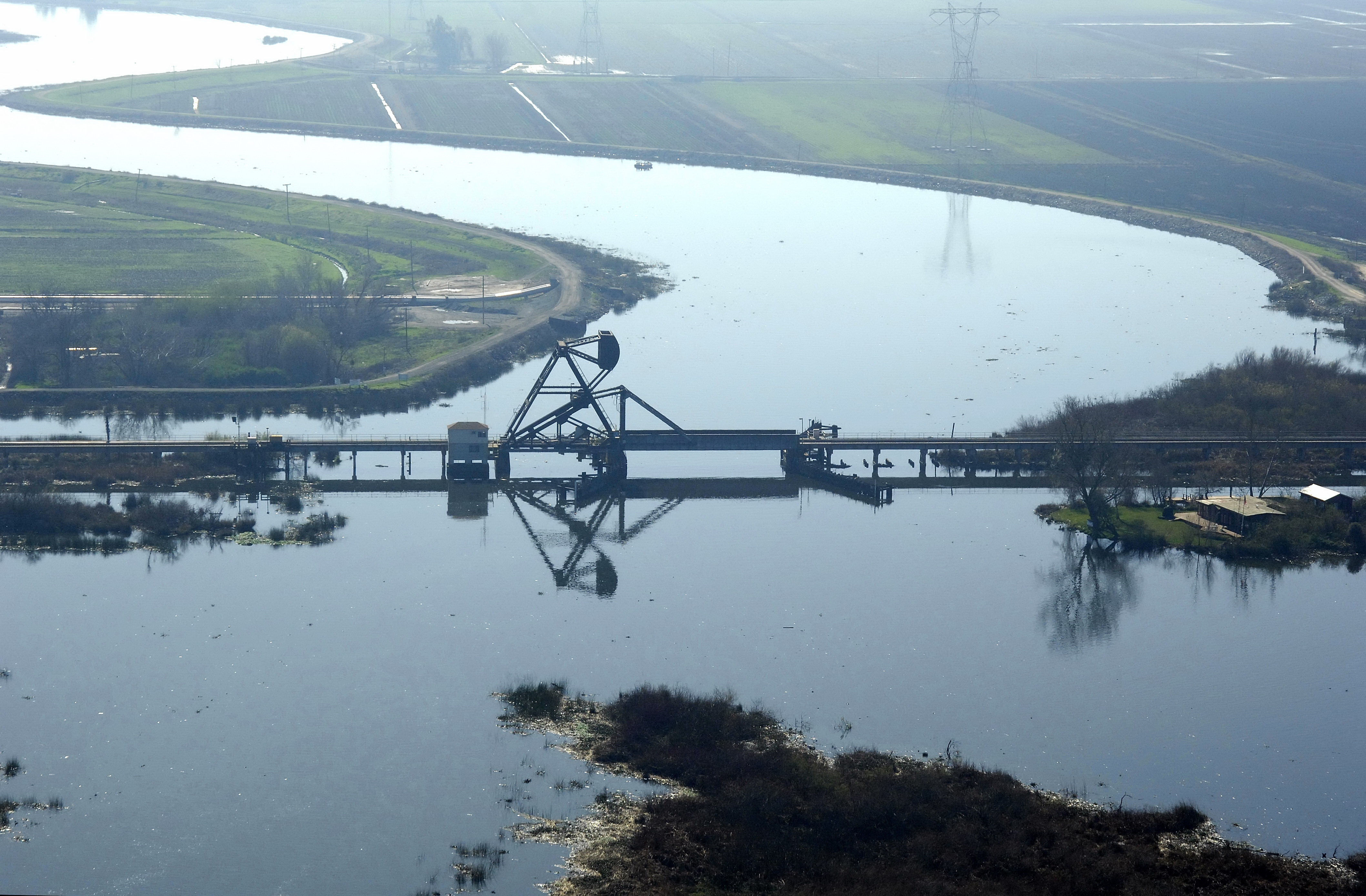
Orwood Bascule Bridge
| California United States | |
| 37° 56' 21.84'', -121° 33' 39.59'' | |
| Korths Harbor |


Details
| Bridge type | Bascule |
| Closed vertical clearance | 11 |
| Vhf | 9 |
About
Introduction:
Located on the split levee between Bacon and Woodward islands, the Orwood Bascule Bridge crosses the Old River north of the Woodward canal east of the town of Orwood (hence the name).
Navigating the Bridge:
Use NOAA Chart 18661.
Characteristics: The bridge has an 11-foot closed vertical clearance with 75 feet of horizontal clearance at the center span when open (95 feet when closed).
Local Notices to Mariners:
Local Notices to Mariners are available online from the U.S. Coast Guard.
Bridge Schedule:
The Orwood bascule Bridge operates on a restricted schedule.
May 1 to Oct. 31, the bridge will open on demand from 6 a.m. to 10 p.m.
Nov. 1 to April 30, the bridge will open on demand from 9 a.m. to 5 p.m.
The bridgetender can be contacted on VHF Channel 09.
Reviews
No reviews yet! Be the first to write a review of Orwood Bascule Bridge.