Rio Vista Lift Bridge
| California United States | |
| 38° 9' 27.0'', -121° 40' 37.21'' | |
| Korths Harbor |

You might also consider...


Details
| Closed vertical clearance | 18 |
About
Introduction:
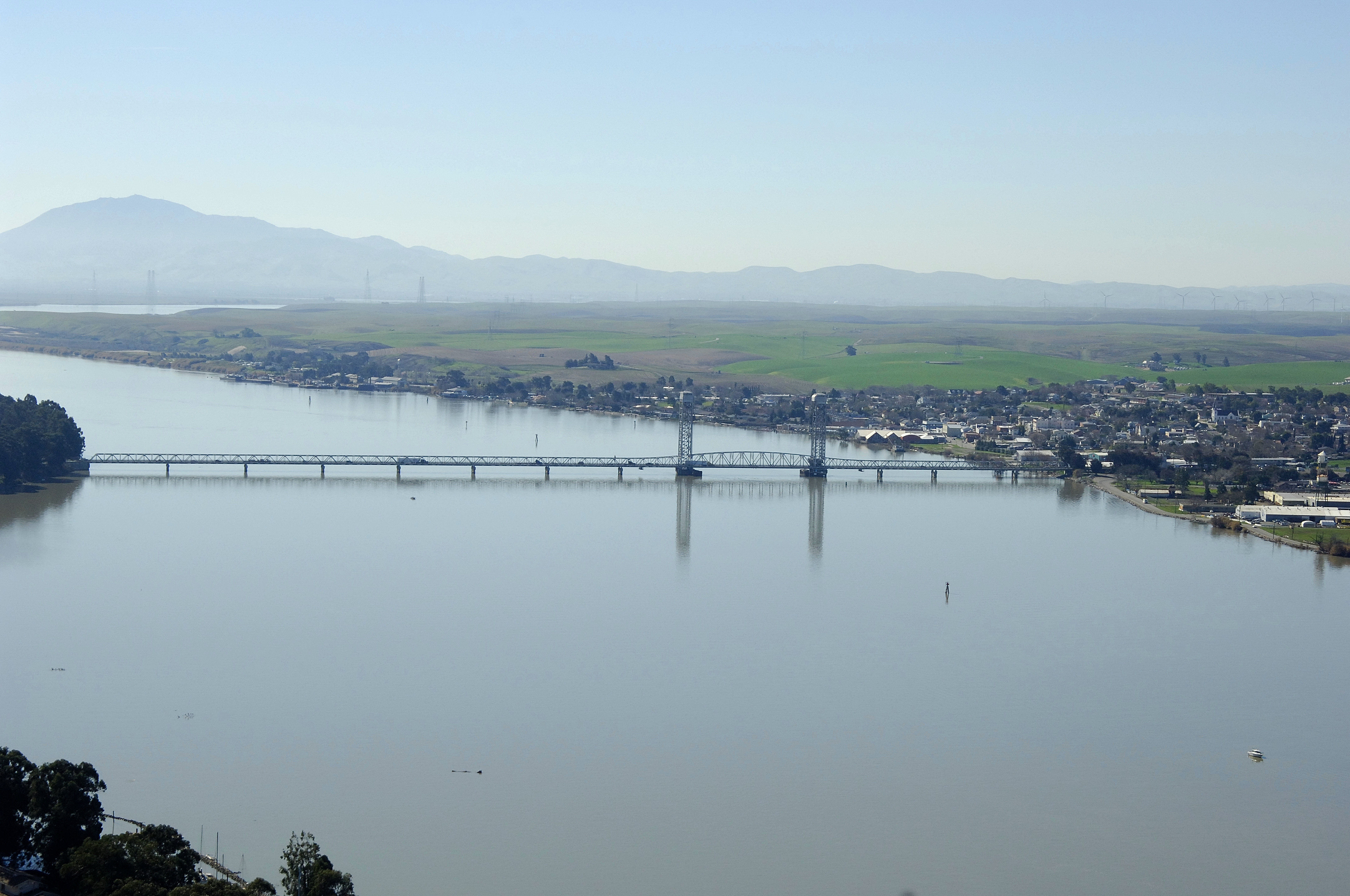
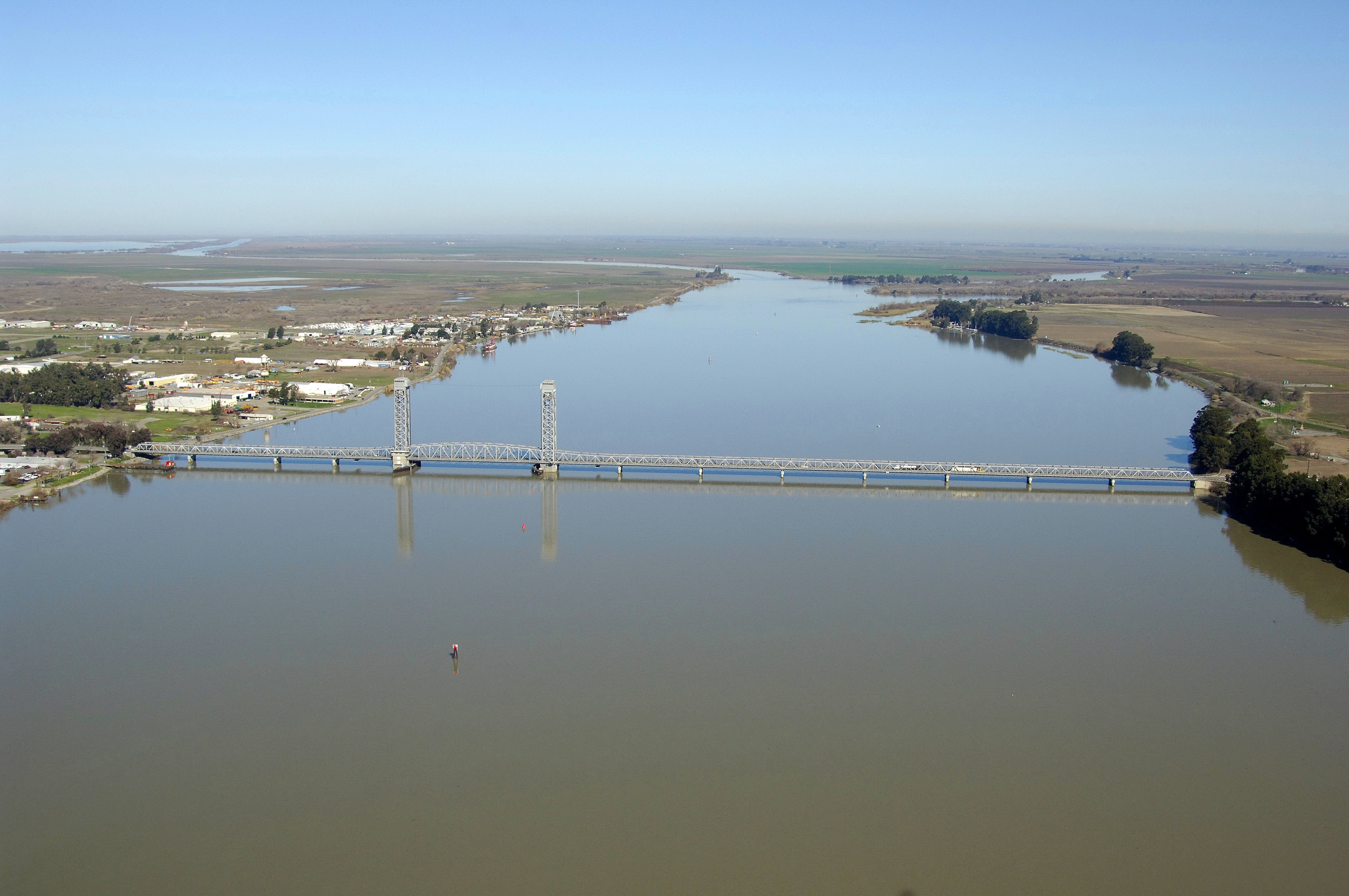
California 12 is a major east-west route across Northern California, starting at California 116 in Sebastopol and continuing east via Santa Rosa, Sonoma Valley (famous for its wineries like its more well-known cousin, Napa Valley), Napa, Fairfield/Suisun City, Rio Vista, and Lodi. The highway ends when it meets California 49 in the Gold Country in the town of San Andreas. The Rio Vista Lift Bridge connects Brannan Island with the town of Rio Vista across the Sacramento River about a mile south of the split into Steamboat Slough, Cache Slough and the Sacramento itself.
Navigating the Bridge:
Use NOAA Chart 18661.
Characteristics: The Rio Vista Lift Bridge has a closed vertical clearance of 18 feet and 144 feet when open. The center span has a horizontal clearance of 270 feet.
Bridge Schedule:
The opening schedule for the Rio Vista Lift Bridge is currently under revision. Contact the USCGs District 11 offices at 510-437-3073 for more details and current opening schedules.
Local Notices to Mariners:
Local Notices to Mariners are available online from the U.S. Coast Guard.