Napa River Railroad LIft Bridge


You might also consider...


Details
| Closed vertical clearance | 2 |
About
Introduction:
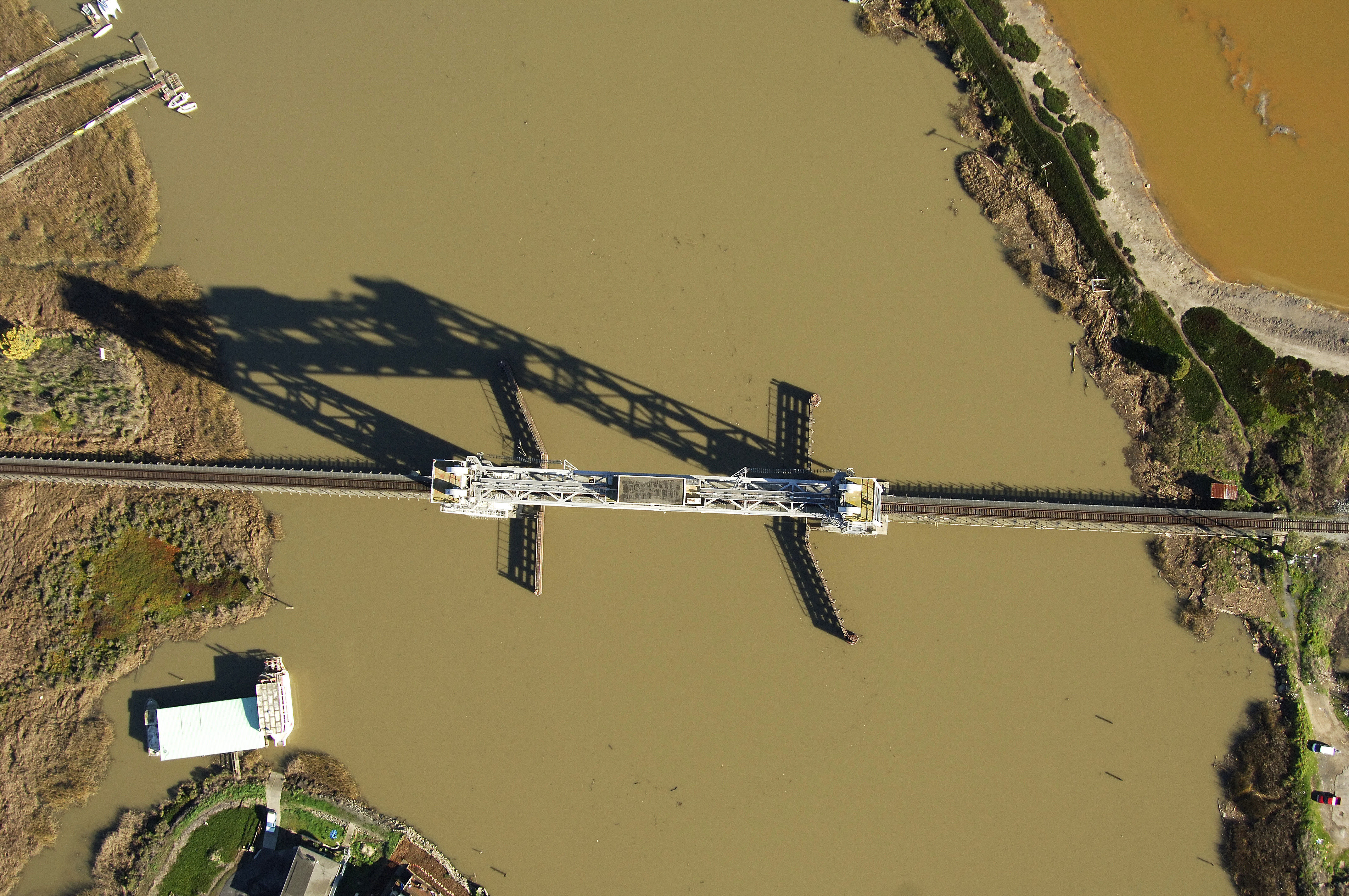
The Napa River Railroad Lift Bridge is the third bridge you will encounter on the Napa River as you travel north from the mouth. The bridge carries Union Pacific rail traffic across the river from Brazos on the east side to Fly Bay on the west.
Navigating the Bridge:
Use NOAA Chart 18654.
The bridge has a two-foot closed vertical clearance and 97 feet of vertical clearance when the span is lifted to its highest point. The horizontal clearance is 157 feet in the center span. Approaching from the south, two navigational aids help to announce the bridge (quick flashing red 14 and an ISO white light to the south). The bridge channel has nine- to 17-foot depths.
Bridge Schedule:
The bridge is automated and left in the open position except in the case of approaching rail traffic when warning signals will sound and the bridge will lower.
Local Notices to Mariners:
Local Notices to Mariners are available online from the U.S. Coast Guard.