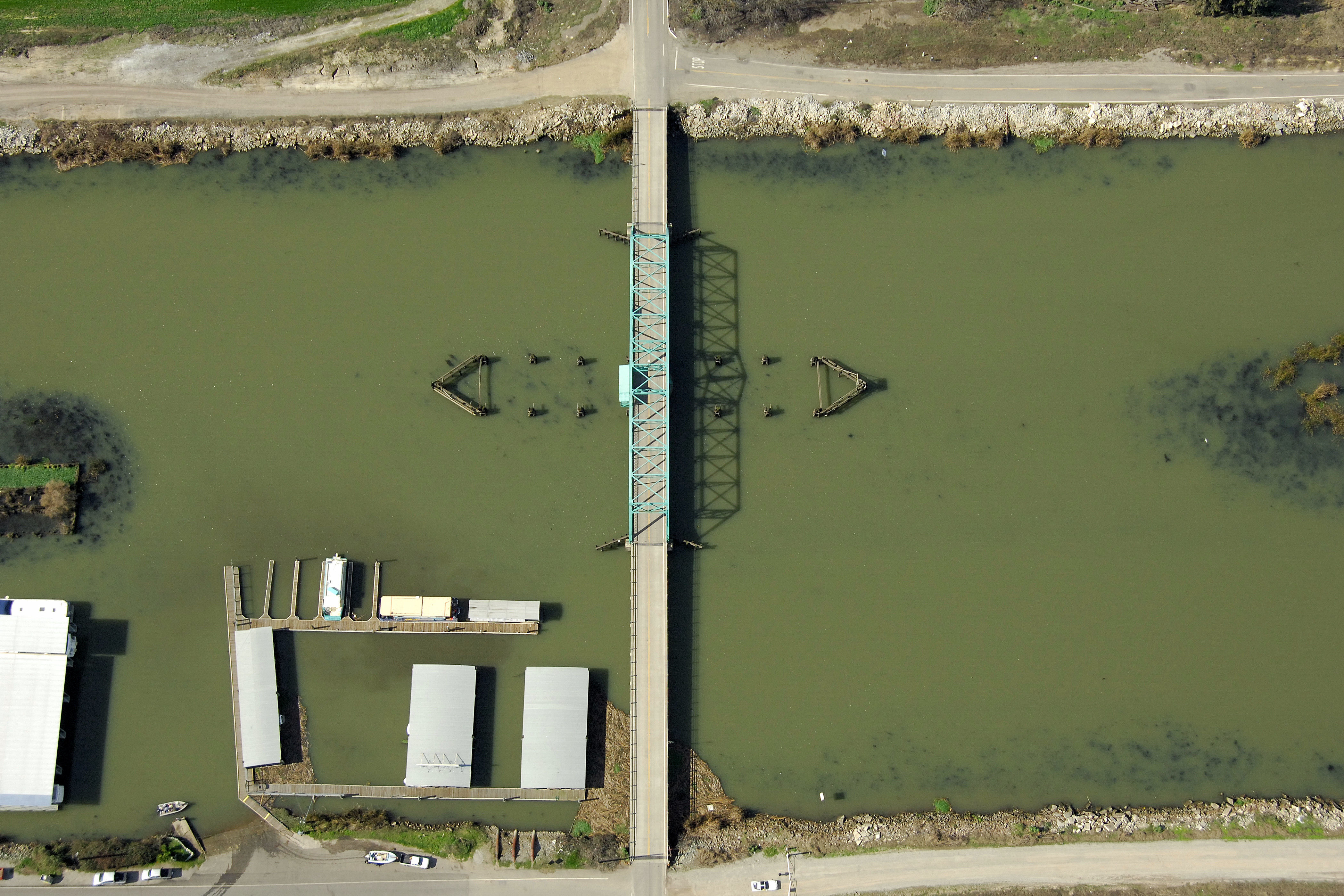
Honker Cut Swing Bridge
| California United States | |
| 38° 3' 33.12'', -121° 27' 25.2'' | |
| Korths Harbor |


Details
| Closed vertical clearance | 7 |
About
Introduction:
Honker Cut Swing Bridge connects King Island to the Empire Tract along Eightmile Road. Marine facilities and a ramp are located just to the south of the bridge.
Navigating the Bridge:
Use NOAA Chart 18661.
Characteristics: Honker Cut Swing Bridge has a closed vertical clearance of seven feet with a horizontal clearance of 75 feet at the center span. Currents during periods of high water can be tricky in the area, and there is heavy shoaling toward the middle of the cut. Eight- to ten-foot depths prevail elsewhere in the cut.
Bridge Schedule:
12 hours advance notice is required to have a bridgetender open the bridge. Contact District 11 USCG or 209-468-3074 to make advance preparations.
Local Notices to Mariners:
Local Notices to Mariners are available online from the U.S. Coast Guard.
Reviews
No reviews yet! Be the first to write a review of Honker Cut Swing Bridge.