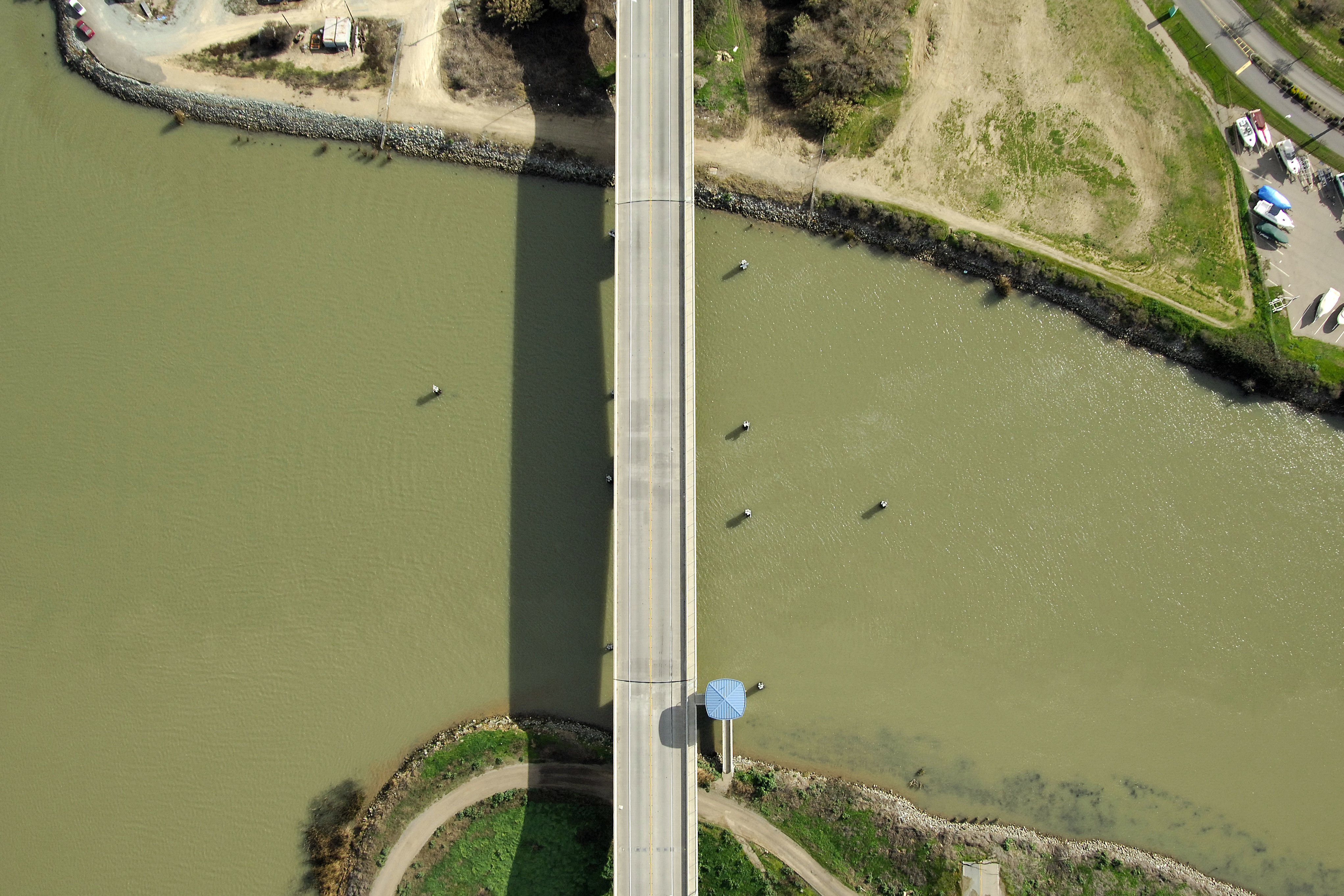
Little Potato Slough Swing Bridge
| California United States | |
| 38° 6' 52.92'', -121° 29' 52.8'' | |
| Korths Harbor |


Details
| Closed vertical clearance | 35 |
About
Introduction:
Little Potato Slough breaks away From the South Molekumne River at the western end of Bouldin Island some four miles east of the Molekumne River split. The Little Potato Slough Bridge crosses Little Potato Slough where it empties into the South Molekumne.
Navigating the Bridge:
Use NOAA Chart 18661.
Characteristics: Little Potato Slough Swing Bridge has a closed vertical clearance of 35 feet with 100 feet of vertical clearance at the center span. Use caution when entering the span from the north, as currents can be tricky at the junction of South Molekumne River and Little Potato Slough.
Bridge Schedule:
The bridge will open on demand on Tuesdays and Thursdays. The bridgetender can be reached on VHF Channel 09, or via phone at 209-369-6101.
Local Notices to Mariners:
Local Notices to Mariners are available online from the U.S. Coast Guard.