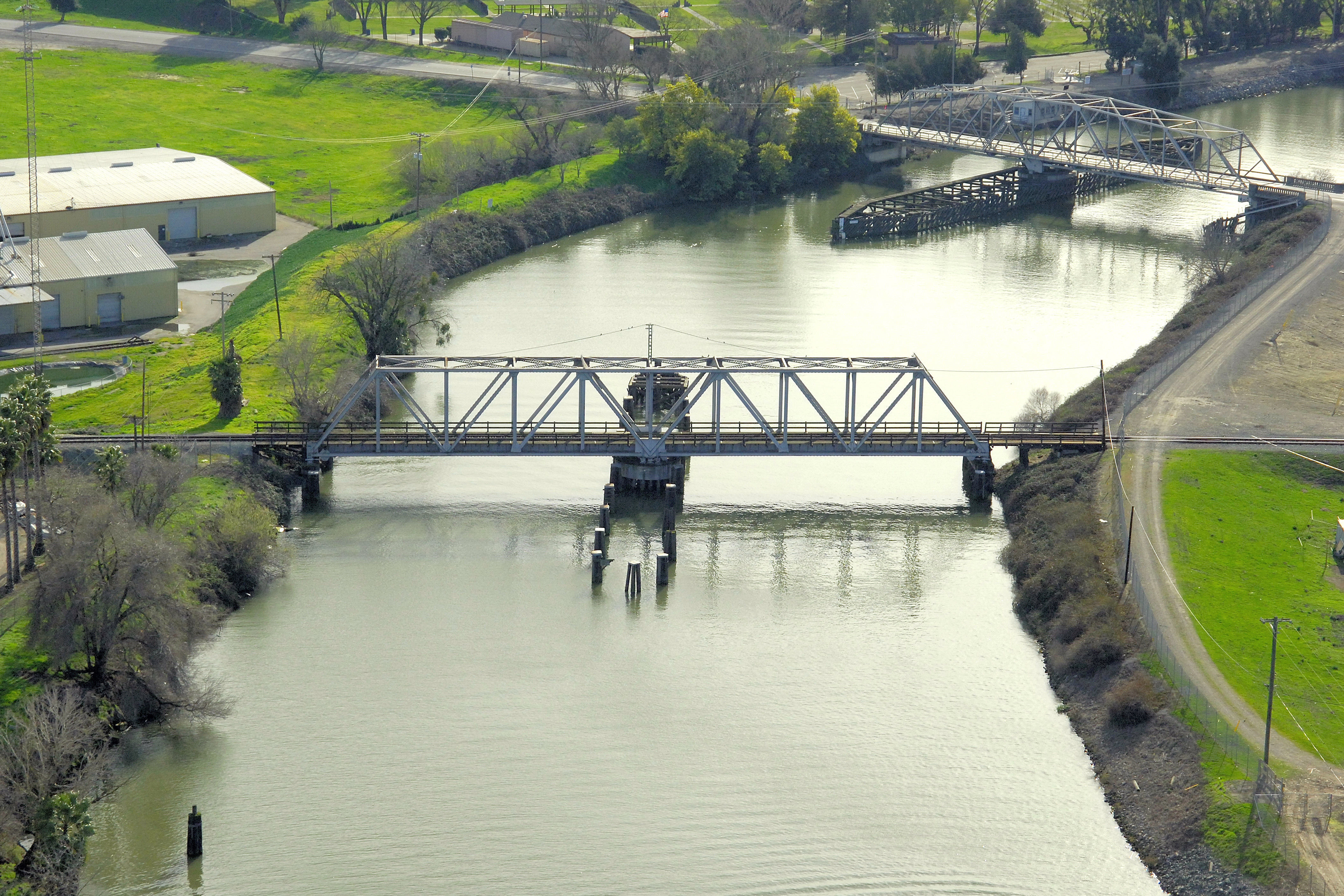
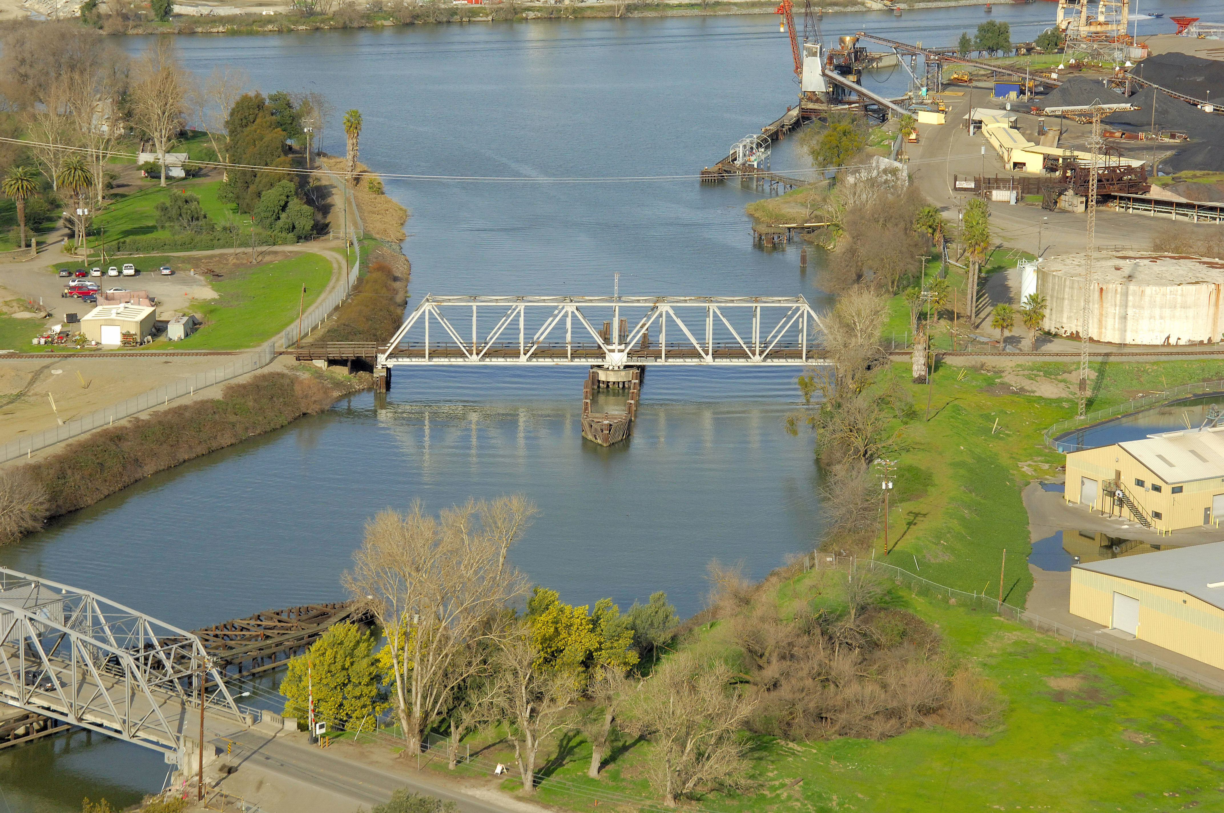
Port of Stockton Railroad Swing Bridge

You might also consider...

1 Review
Welcome to Delta Marina!
We are a well established marina tucked into the ... Read More

23 Reviews
Antioch Municipal Marina offers one of the best locations on the California D... Read More

14 Reviews
Completely rebuilt in 1994 the Suisun City Marina provides 160 rental berthin... Read More
Details
| Closed vertical clearance | 15 |
About
Bridge Schedule:
The bridge opening schedule is currently under revision. Call the USCGs District 11 offices at 510-437-3073 for details.
Introduction:
This railroad bridge, just north of the Navy Drive Bascule Bridge, carries rail traffic out of East Stockton across the Sacramento River Delta, and eventually to the Port of Oakland for shipment.
Navigating the Bridge:
Use NOAA Chart 18661.
Characteristics: This bridge has a closed vertical clearance of 15 feet with 100 feet of vertical clearance at the center span. Depths south of Channel Point run from eight to 11 feet.
Local Notices to Mariners:
Local Notices to Mariners are available online from the U.S. Coast Guard.
Reviews
No reviews yet! Be the first to write a review of Port of Stockton Railroad Swing Bridge.