Bishop Cut Swing Bridge
| California United States | |
| 38° 3' 29.88'', -121° 25' 8.4'' | |
| Korths Harbor |


Details
| Closed vertical clearance | 6 |
About
Introduction:
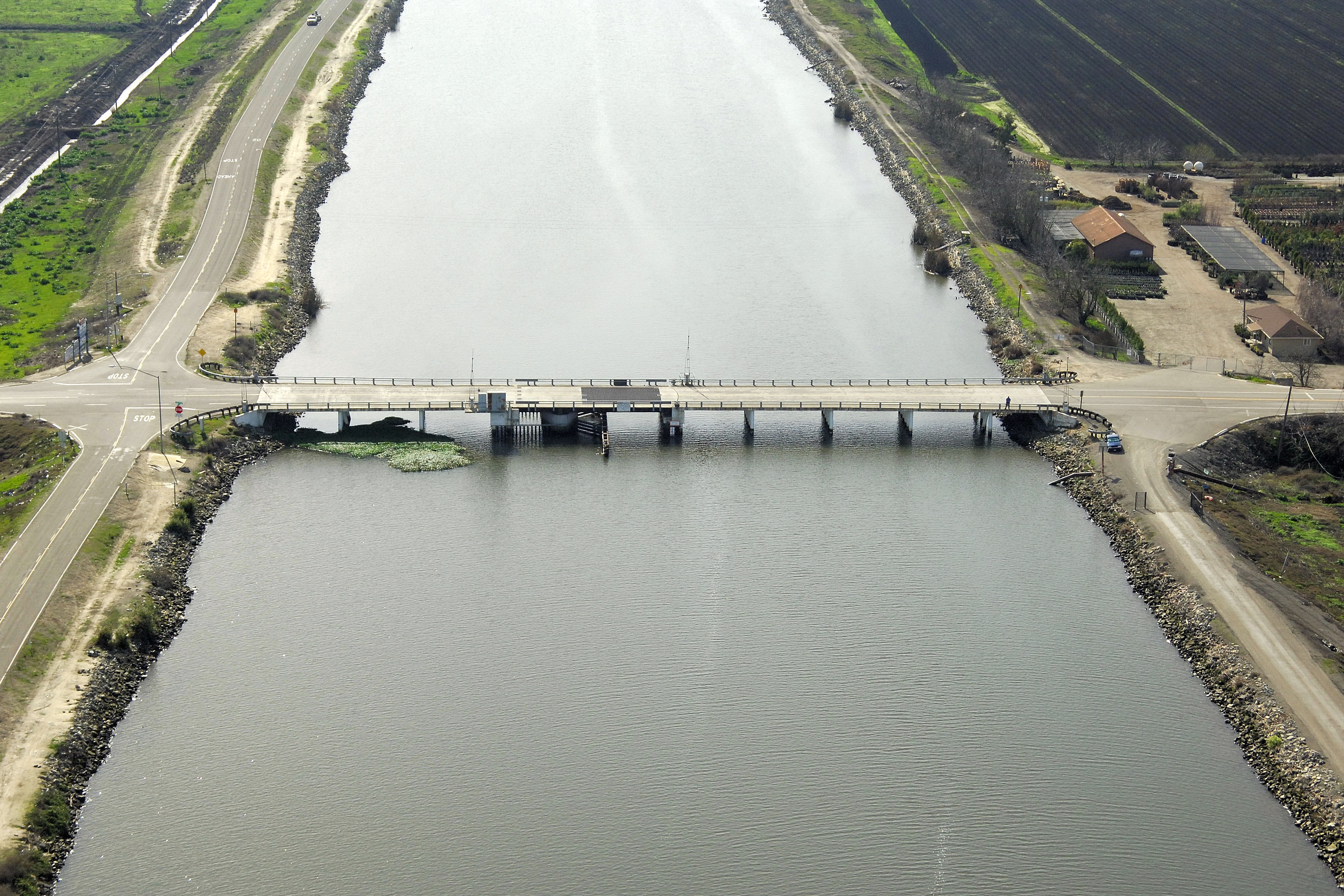
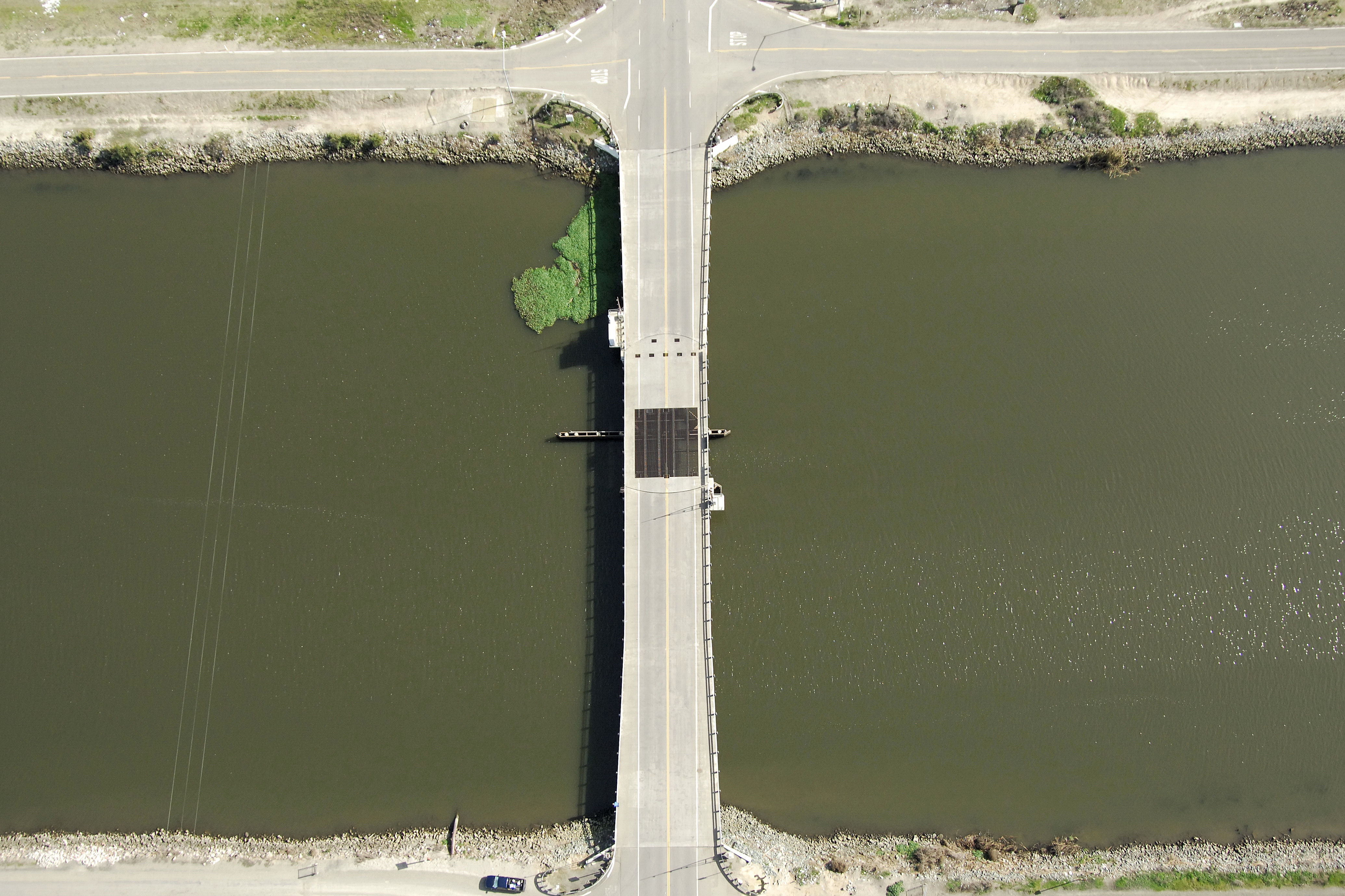
The Bishop Cut Swing Bridge carries vehicular traffic across Bishop Cut on Eightmile Road and connects King Island and Bishop Tract. Typical of the cuts in the San Joaquin Delta, depths average four feet at mean low water.
Navigating the Bridge:
Use NOAA Chart 18663.
Characteristics: The bridge has a six-foot closed vertical clearance with 22 feet of horizontal clearance at the center span.
Bridge Schedule:
The bridge can be opened with 12-hour advance notice. Call the Coast Guard Marine Safety Office at 510-437-3073 for more information.
Local Notices to Mariners:
Local Notices to Mariners are available online from the U.S. Coast Guard.
Reviews
No reviews yet! Be the first to write a review of Bishop Cut Swing Bridge.