Golden Gate Bridge
| California United States | |
| 37° 49' 15.95'', -122° 28' 40.79'' | |
| San Francisco |


You might also consider...


Details
| Closed vertical clearance | 225 |
About
Introduction:
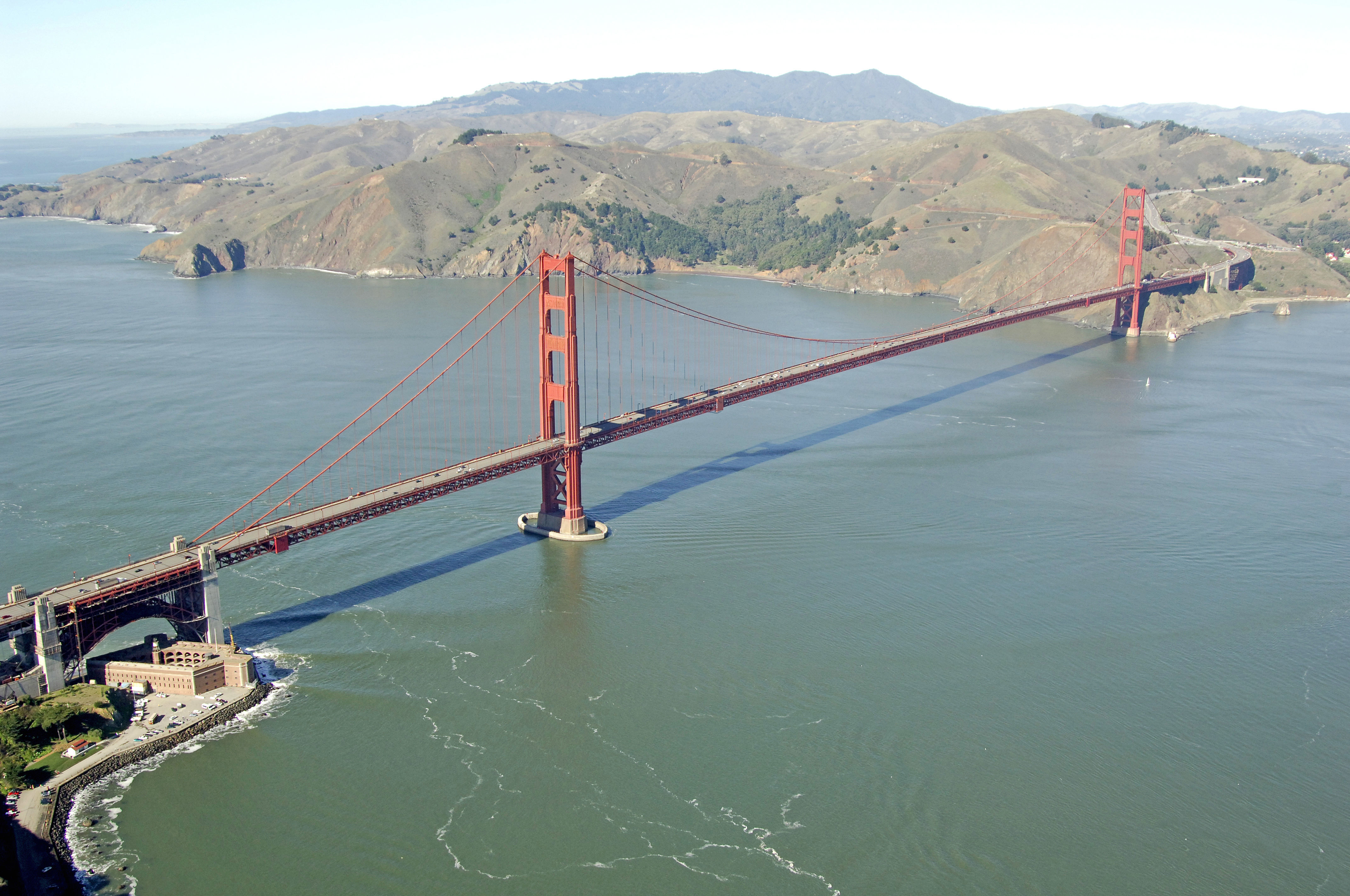
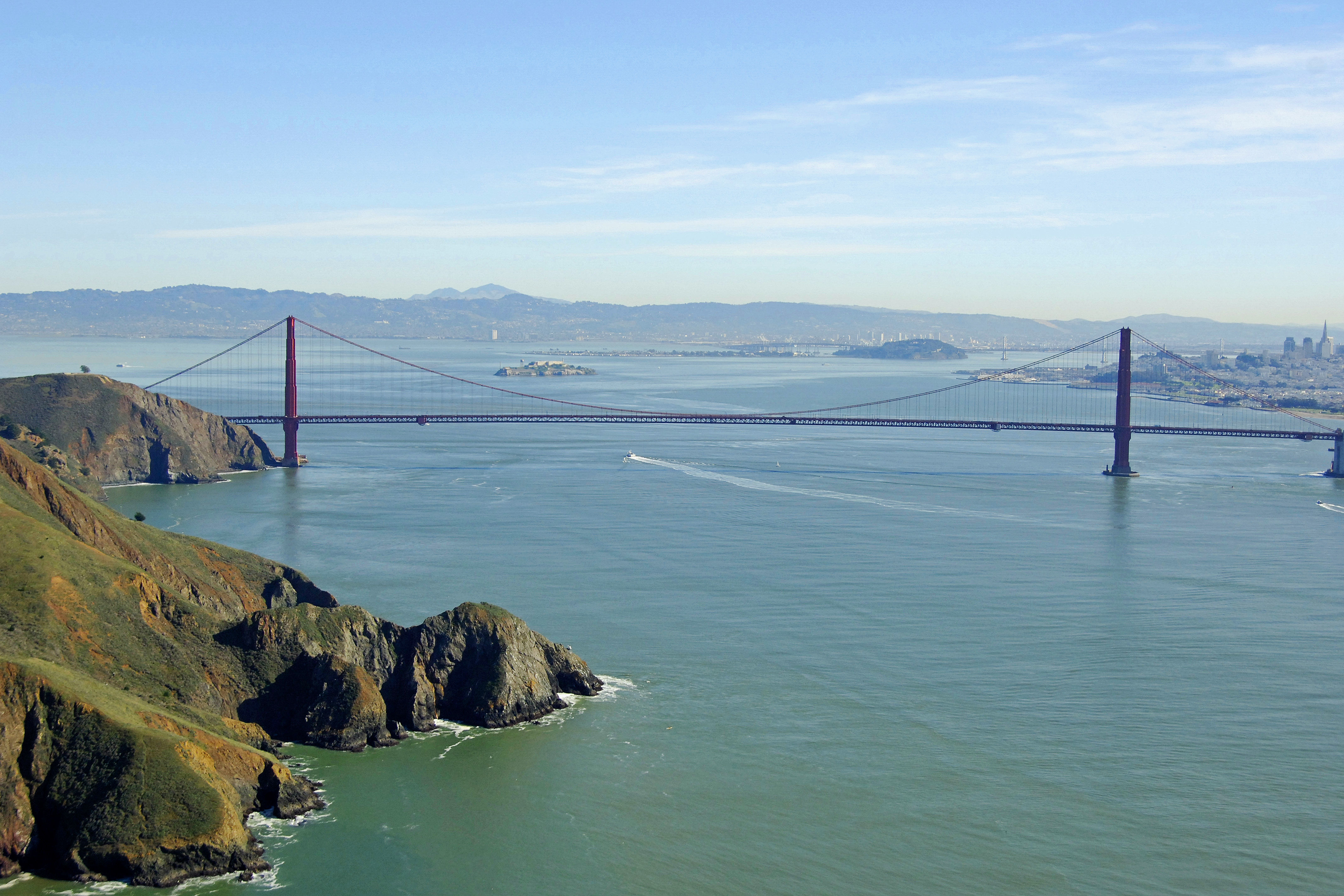
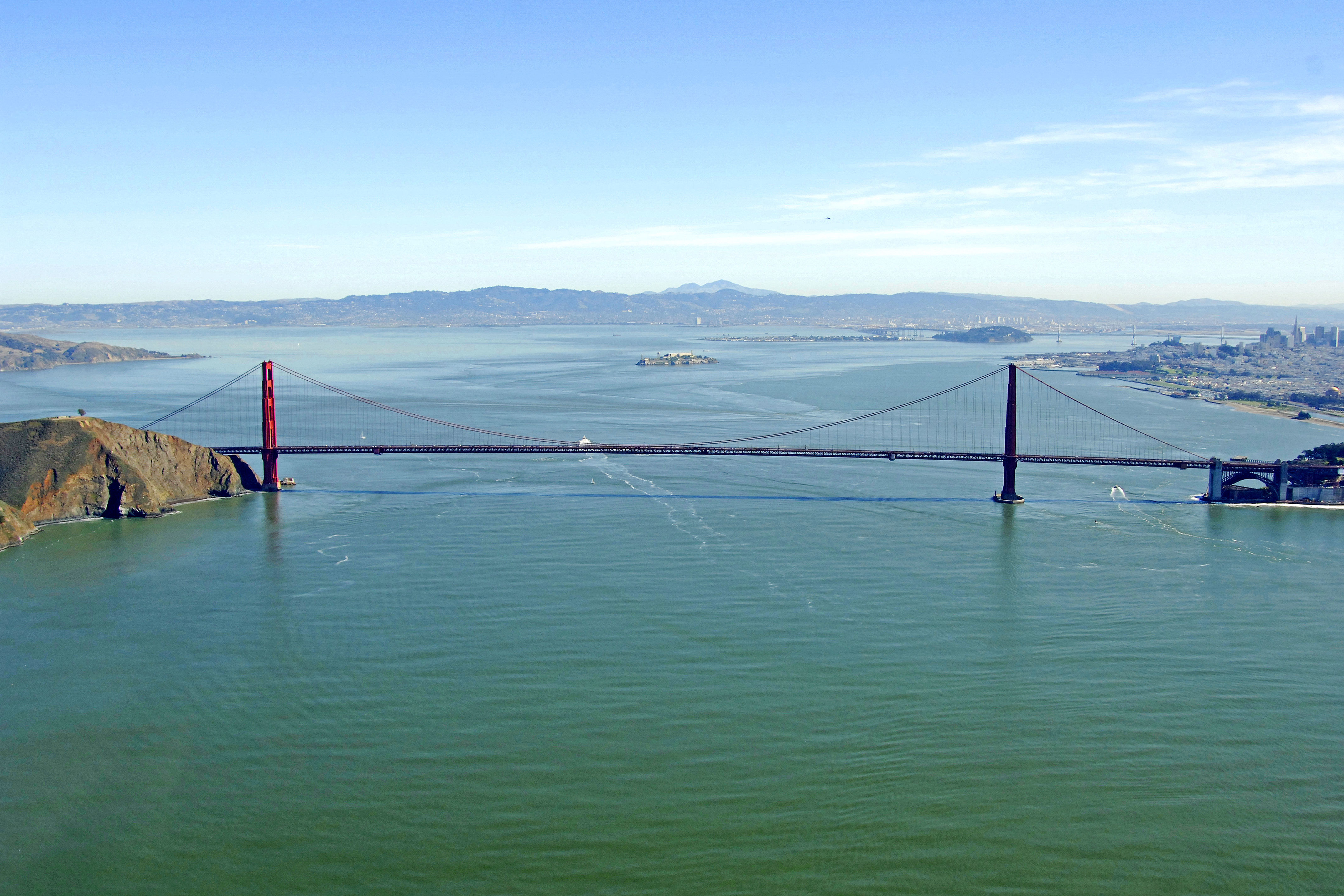
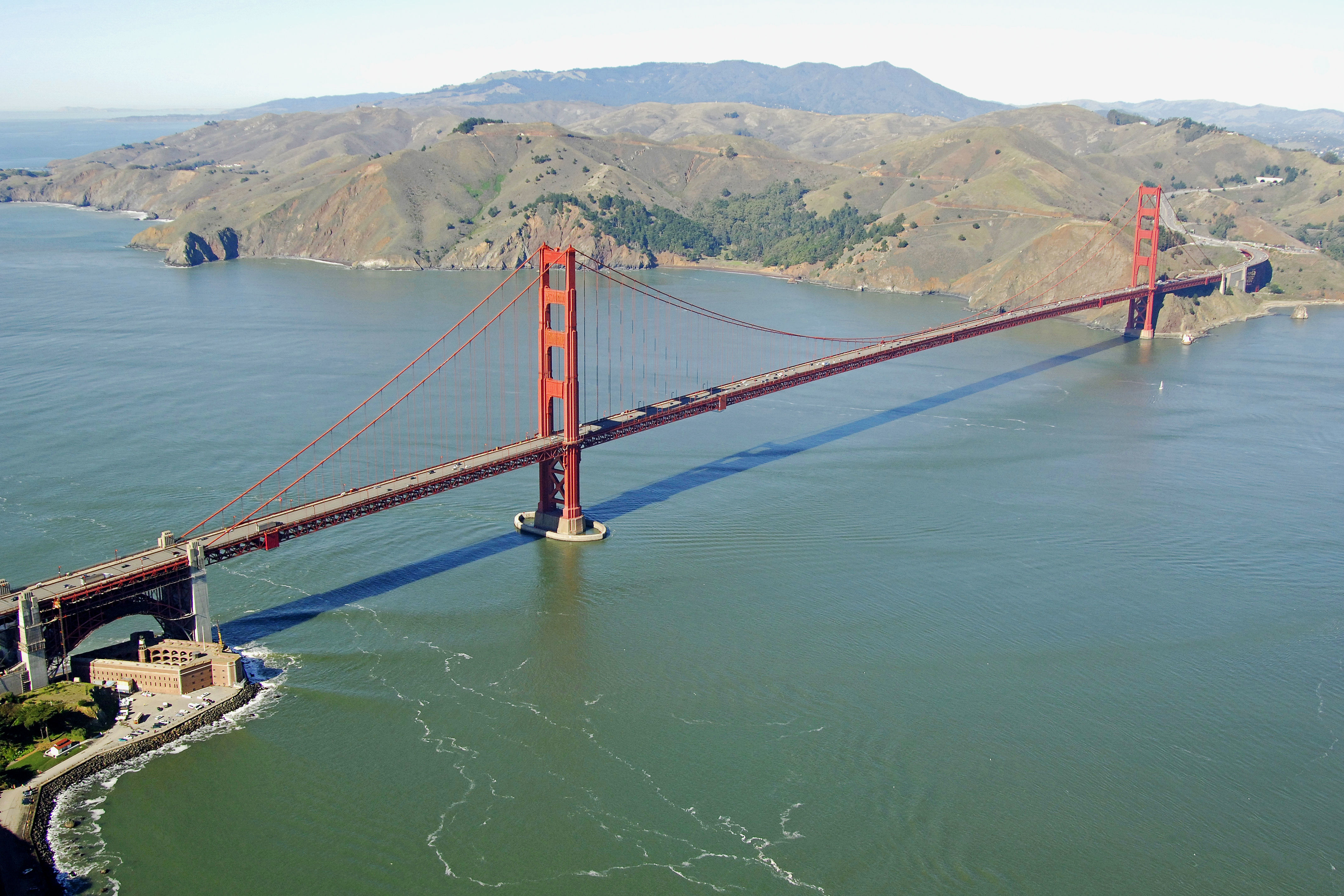
Linking San Francisco with Marin County, the Golden Gate Bridge is a 1.7 mile-long suspension bridge that can be crossed by car, on bicycles or on foot.
The Golden Gate Bridge, completed after more than four years of construction at a cost of $35 million (thats nearly a half-billion dollars in todays currency), is a landmark recognized almost universally. The bridge opened to vehicle traffic on May 28, 1937 at twelve o'clock noon.
The Golden Gate Bridge's 4,200-foot-long main suspension span was a world record that stood for 27 years. The bridge's two towers rise 746 feet making them 191 feet taller than the Washington Monument. The five-lane bridge crosses Golden Gate Strait.
Navigating the Bridge:
Use NOAA Chart 18649.
Characteristics:
Vertical Clearances: 225 feet at center span, 213 feet in N Pier, 211 feet in S Pier.
Horizontal Clearance: Virtually unlimited for all boats.
Local Notices to Mariners:
Local Notices to Mariners are available online from the U.S. Coast Guard.