Salinas Bay Inlet
| Puerto Rico | |
| 17° 56' 51.0'', -67° 11' 36.97'' | |
| Salinas Bay |


About
Local Notices to Mariners:
See our Local Notices to Mariners blog for updates on the latest conditions and advisories for this area.
Introduction:
Salinas Bay is tucked behind infamous Cabo Rojo, and is an excellent place to drop the hook as long as the winds are not clocking out of the west or southwest. Many vessels use Salinas Bay as a staging area for journeys farther east around Cabo Rojo toward Guanica or Ponce. Facilities are sparse, so be prepared with your own provisions for your visit.
Navigating the Water:
The wide entrance to Salinas Bay is located between Punta Aquila to the north and Punta Jaguey to the south. If you are approaching from offshore, the Cabo Rojo Lighthouse stands 121 feet above the waters surface and casts a white beam every 20 seconds.
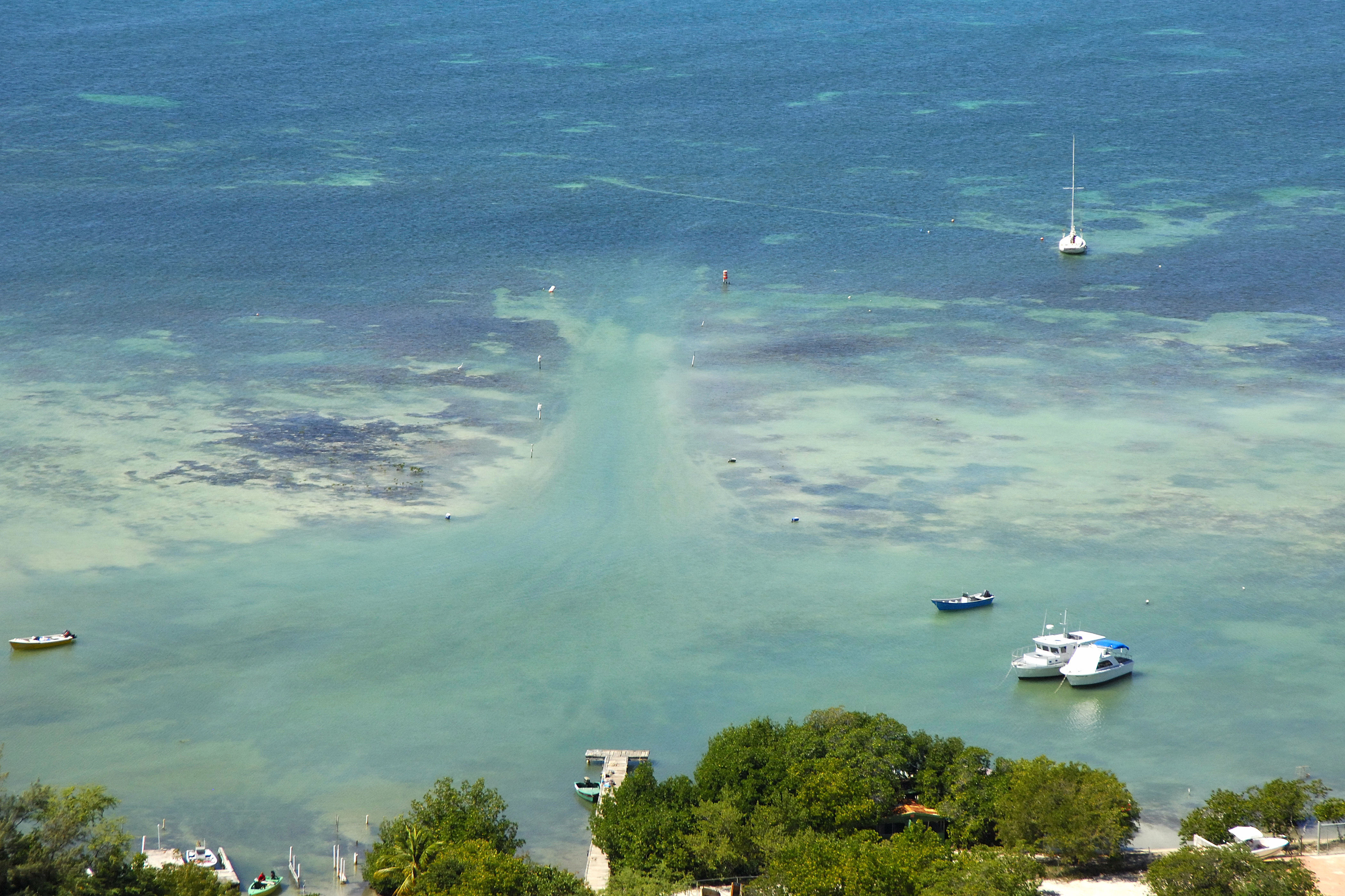
The anchorage is located off the beach in 7- to 8-foot depths, and a dinghy landing is visible in the image above. The anchorage is quite beautiful and generally quiet, but if the winds clocks around from the west or southwest, things can get rough and very uncomfortable here in a hurry.