Boca De Cangrejos Inlet
| San Juan, Puerto Rico | |
| 18° 27' 19.08'', -65° 59' 30.83'' | |
| Laguna La Torrecilla |


About
Introduction:
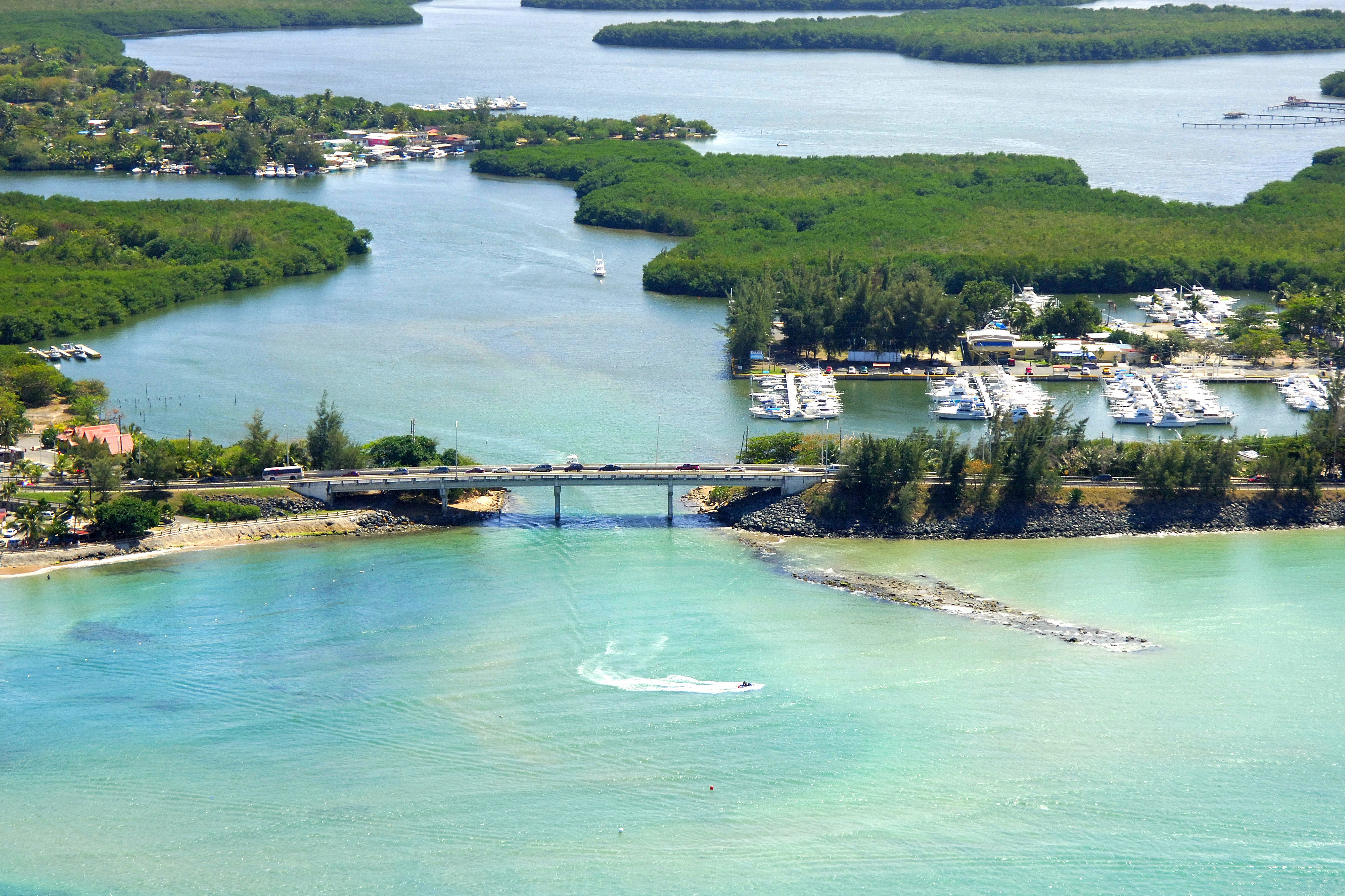
Located just south of Punta Cangrejos is a shallow inlet that allows passage from the Atlantic Ocean to Torrecilla Lagoon (Laguna La Torrecilla), a brackish, protected body of water north of the San Juan International Airport. Torrecilla Lagoon is 9 miles east of San Juan Bay and nearly 4 miles north of the town of Carolina.
Inside the inlet is the Cangrejos Yacht Club (visible in the image above to the right), which offers slips only to members of reciprocating yacht clubs. The lagoon is very shallow and has numerous flats, so anchoring is not a real possibility here.
Navigating the Water:
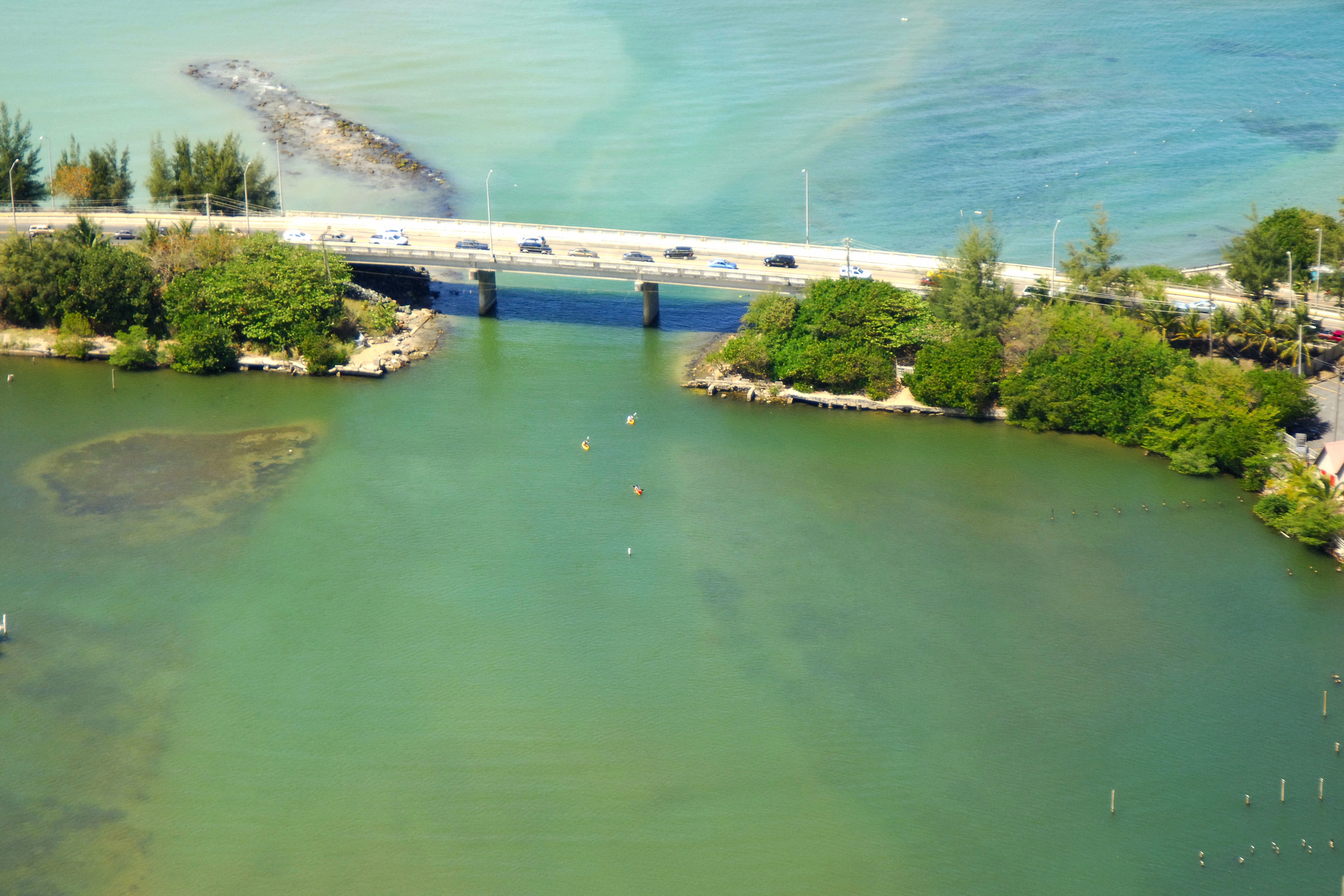
Start an approach to the inlet west of Punta Cangrejos, and when you are about one mile northwest of the inlet entrance, keep an eye out for a privately maintained range that will help guide you in.
Depths in the inlet are a shallow 2 to 4 feet, but vessels with 4-foot drafts make the passage quite frequently. A fixed bridge with a 24-foot vertical clearance crosses the inlet just before the yacht club. If you are in doubt as to the best course to travel when entering the inlet, give the yacht club a call on the VHF for some local knowledge.
Local Notices to Mariners:
See our Local Notices to Mariners blog for updates on the latest conditions and advisories for this area.