Sprat Bay Inlet

You might also consider...


About
Introduction:
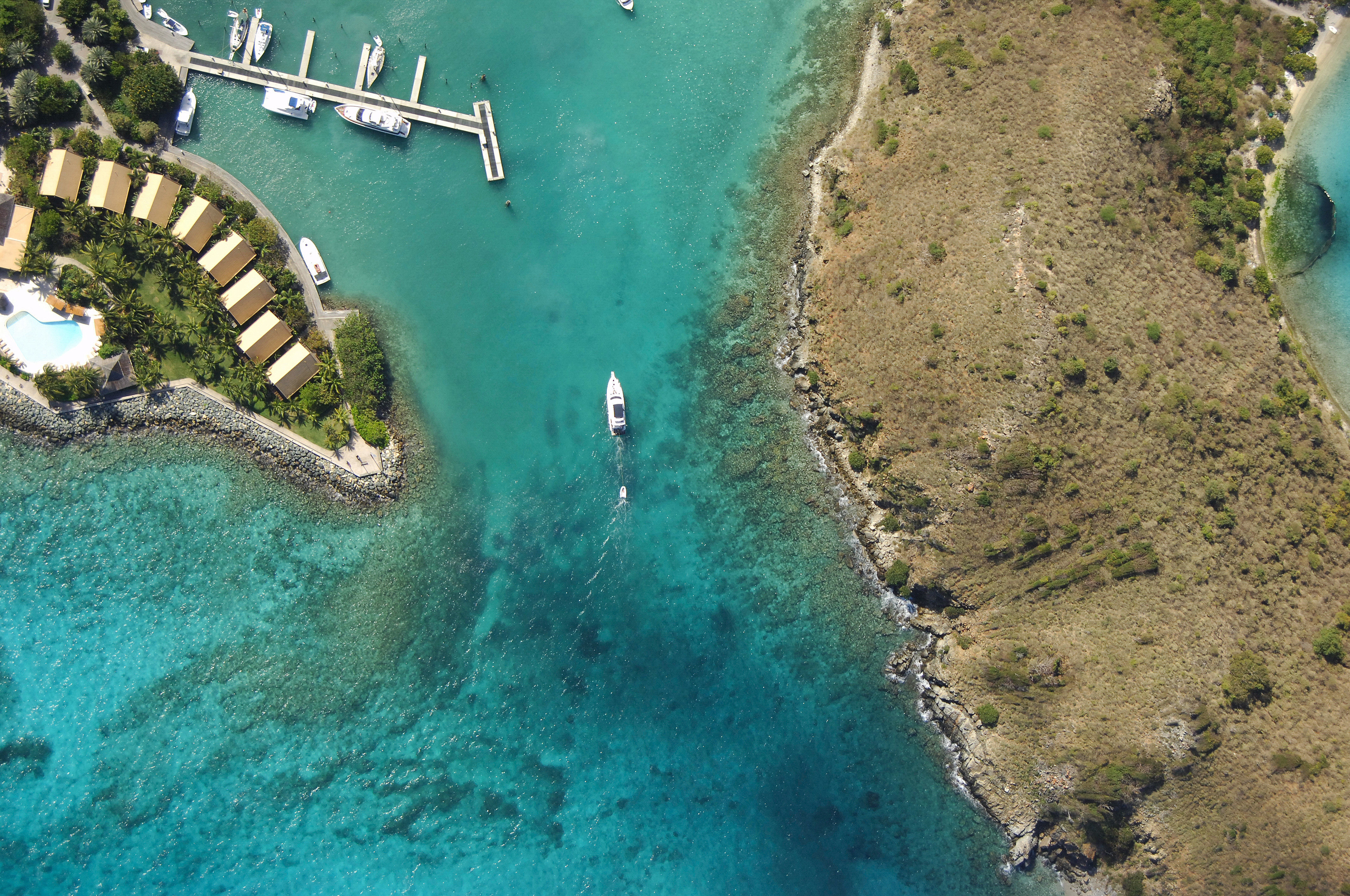
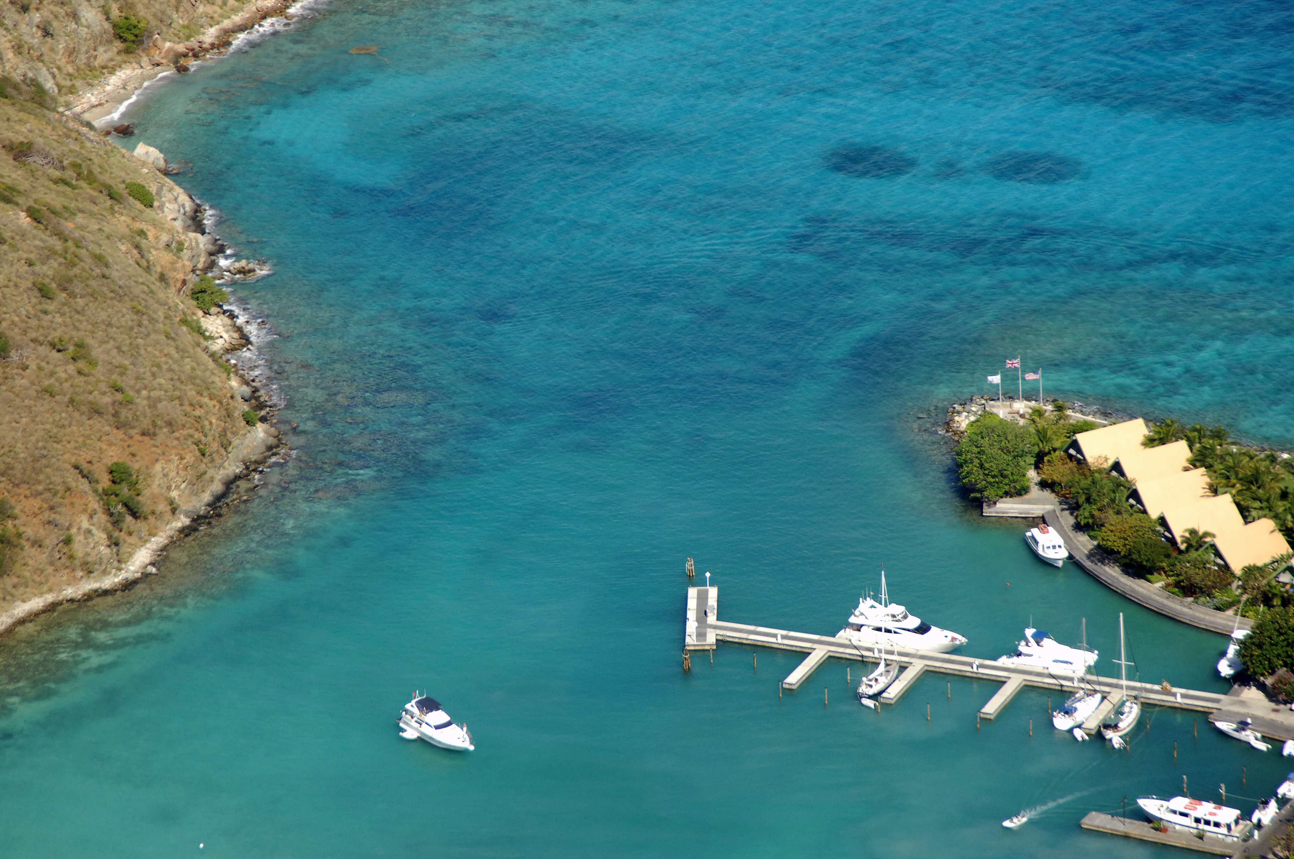
Sprat Bay is located on Peter Island, a small outpost south of the island of Tortola in the British Virgin Islands. Sprat Bay and Peter Island are 5 miles south of Fat Hogs Bay on Tortola and 10 miles east of St. John. The bay is dominated by the Peter Island Resort, which was built in the 1960s. The resort features a hotel, restaurant, marina, and overnight moorings.
Navigating the Water:
Sprat Bay is approached from the north just west of Great Harbour Point. As evidenced by the image above, there is a reef extending from Sprat Bay Point to the east (left). Inside the bay is a marina with transient slips and there are also five moorings available at a fee (payable at the dock masters office at the marina). The southern end of the bay is fairly shallow.
To the east of Sprat Bay is Deadman Bay, which is also a popular hangout for cruisers. There is an anchorage here, but north winds can make for rough going here.
Local Notices to Mariners:
See our Local Notices to Mariners blog for updates on the latest conditions and advisories for this area.