Carrabelle River Inlet
| Carrabelle, Florida United States | |
| 29° 50' 11.04'', -84° 39' 43.92'' | |
| Carabelle Harbor |


You might also consider...


About
Introduction:
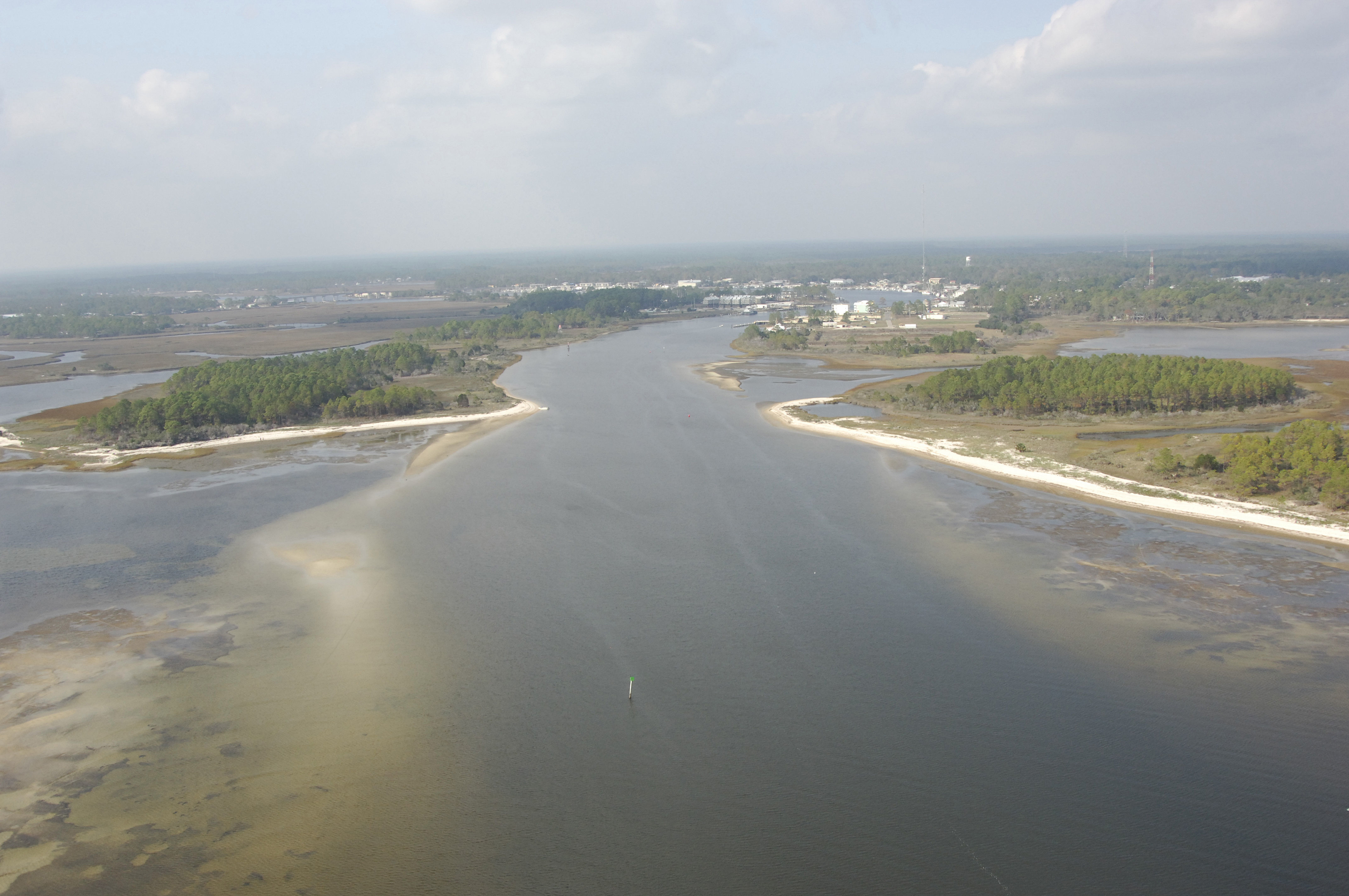
The town of Carrabelle and the Carrabelle River lie about four miles northeast of Dog Island off the Gulf of Mexico and St. Georges Sound on the panhandle of Florida. Carrabelle is 21 miles northeast of Apalachicola and 47 miles southwest of Tallahassee. The image above is a view to the northwest up the Carrabelle Rive near green daybeacon 3.
Navigating the Water:
Use NOAA Chart 11404.
To start your approach to the Carrabelle River from St. Georges Sound, first set a course to intercept waypoint 29 47.592N 84 40.369W near Gulf Intracoastal Waterway Mile 374 and green nun buoy 13. From green nun buoy 13, set a course of 31 degrees magnetic for about one mile to intercept flashing green 15 at the west end of the spoil island on the east side of the Carrabelle approach channel. Maintain the same course (31 degrees magnetic) toward the Carrabelle River, making sure to honor green nun buoy 17, and red nun buoy 18, until you sight green daybeacon 1 at the mouth of the river.
Alternatively, you can approach the Carrabelle River from the west. Pick up flashing red 8 just north of Dog Island, and then follow in a course of 302 magnetic for about 2.5 miles to meet green daybeacon 1 at the rivers mouth. A quick flashing red light (unnumbered) serves as the nighttime entrance mark to the river, and a lighted range helps guide you toward the northwest. Once you have arrived at green daybeacon 1, you can follow in green daybeacon 3, red daybeacon 4, red nun 6, and then green daybeacon 7 into town.
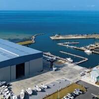
The first marina inside to port is the Dockside Marina. Farther upstream on the north ide of the western bend of the river are C-Quarters Marina, Carrabelle Marina and Moorings at Carrabelle. two of the three offer transient slips and the one that does not (Carrabelle Marina) is the only facility with a lift for haul-outs in the area.
Local Notices to Mariners:
Local Notices to Mariners are available online from the U.S. Coast Guard.