Ponce de Leon Inlet
| Port Orange, Florida United States | |
| 29° 4' 37.2'', -80° 54' 55.43'' | |
| New Smyrna Beach |


You might also consider...

About
Introduction:
The Ponce de Leon Inlet is located off the Intracoastal Waterway and Atlantic Ocean on Floridas East Coast about 11 miles south of Daytona Beach and 48 miles north of Cape Canaveral. Though fairly reliable in most weather conditions, the Ponce de Leon Inlet should not be attempted in poor weather, especially by those unfamiliar with the area, as it is in a constant state of change.
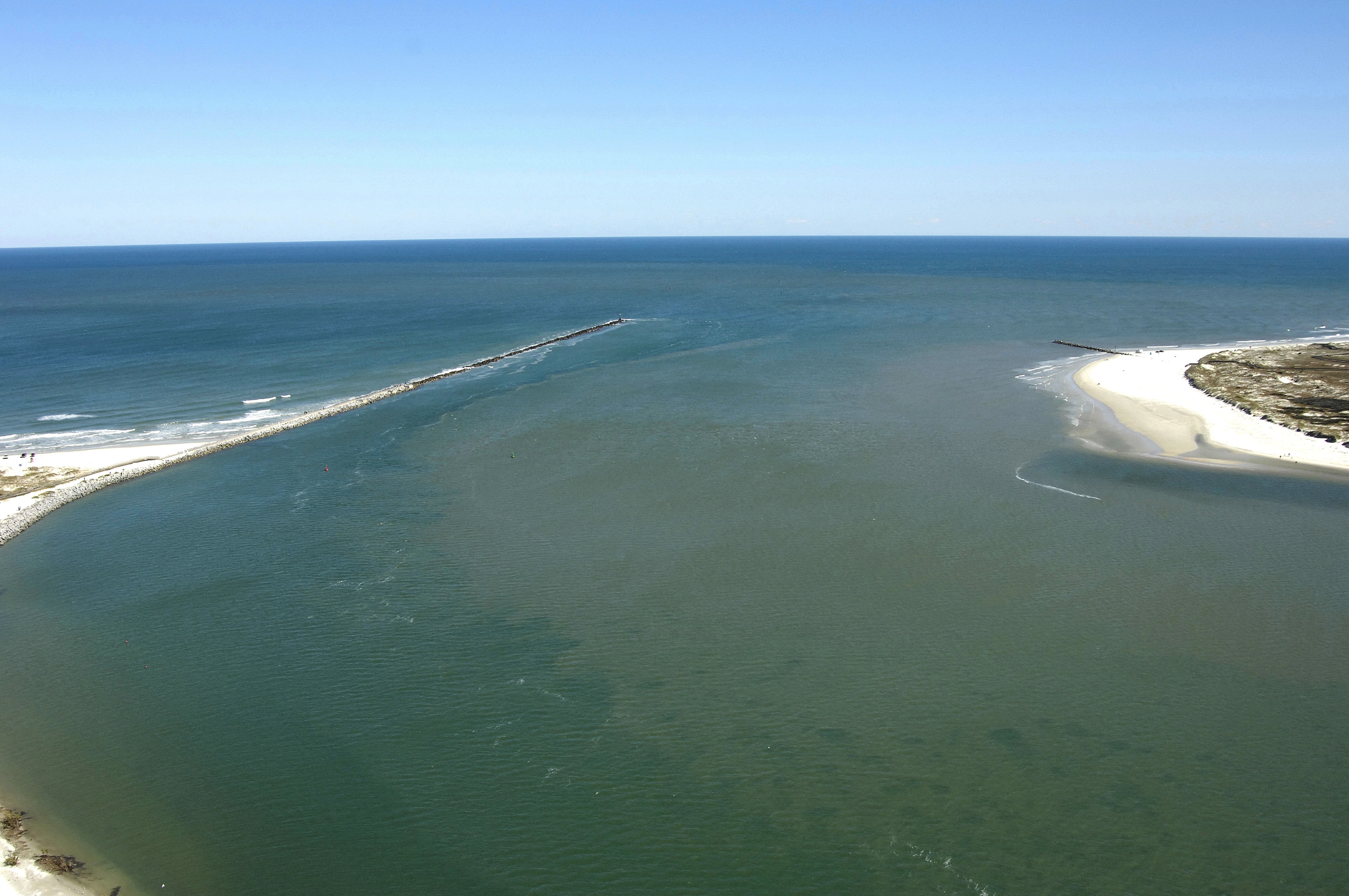
The Ponce de Leon Lighthouse is the primary landmark here, and can be seen in the image above, just to the right (north) of the inlet. This is all part of a state park area, and there is a lovely white sand beach that is seldom crowded on the north side of the inlet.
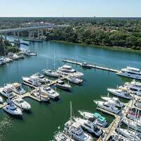
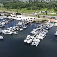
Marinas are locate on the north side of the shoreline once you have cleared the inlet, one lying in the cove at the base of the lighthouse, and the other farther up toward the Intracoastal Waterway route to the north.
Navigating the Water:
Use NOAA Chart 11485.
Despite an extensive reclamation, dredging, and seawall construction project, the Ponce de Leon Inlet remains in constant change with navigational aids changing location often in an attempt to keep on top of constantly changing depths and conditions at the inlet. While the description seems dire, the Ponce de Leon Inlet is a relative safe and easy-to-transit passage for the cautious mariner armed with advance local knowledge from one of the local marinas. The inlet should not be attempted in bad weather.
Keep in mind that when approaching from the sea, many navigational aids are not charted, as the Coast Guard frequently surveys the inlet and moves marks to reflect the current position of the deepest part of the channel. The image above, however, is a good representation of where the deepest water lies, if you note the darker patch of water along the south side of the inlets north jetty.
Local Notices to Mariners:
Local Notices to Mariners are available online from the U.S. Coast Guard.