Harvey Cove Inlet

You might also consider...


About
Introduction:
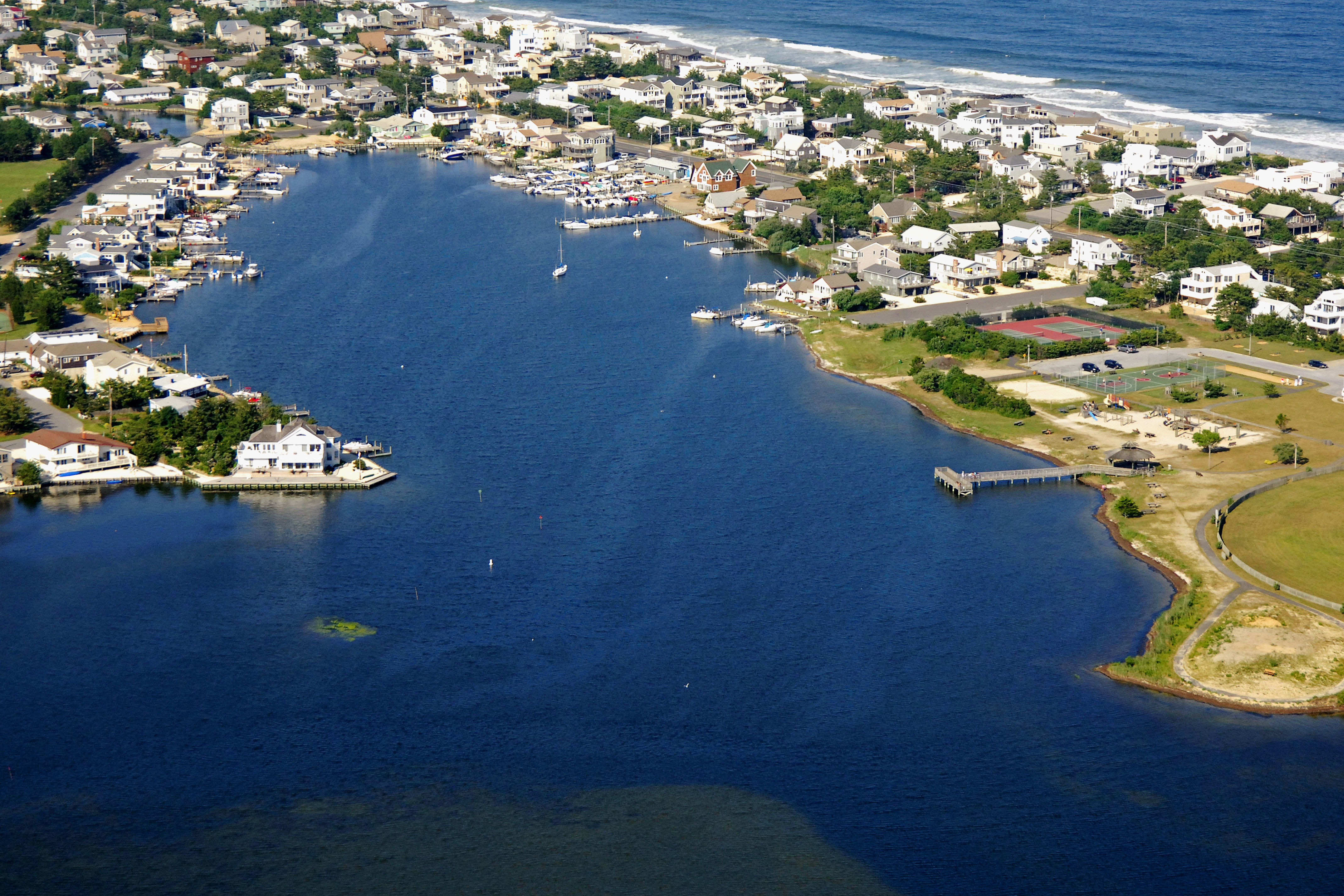
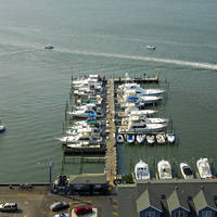
Harvey Cove is a small protected body of water located off Barnegat Bay south of the Barnegat Inlet at New Jersey Intracoastal Waterway Mile Marker 27. Inside the cove is an excellent marina that has facilities for transient guests and a small crane for emergency repairs, if needed. Although the cove is wide open enough for anchoring, its not a really popular place to do so.
Navigating the Water:
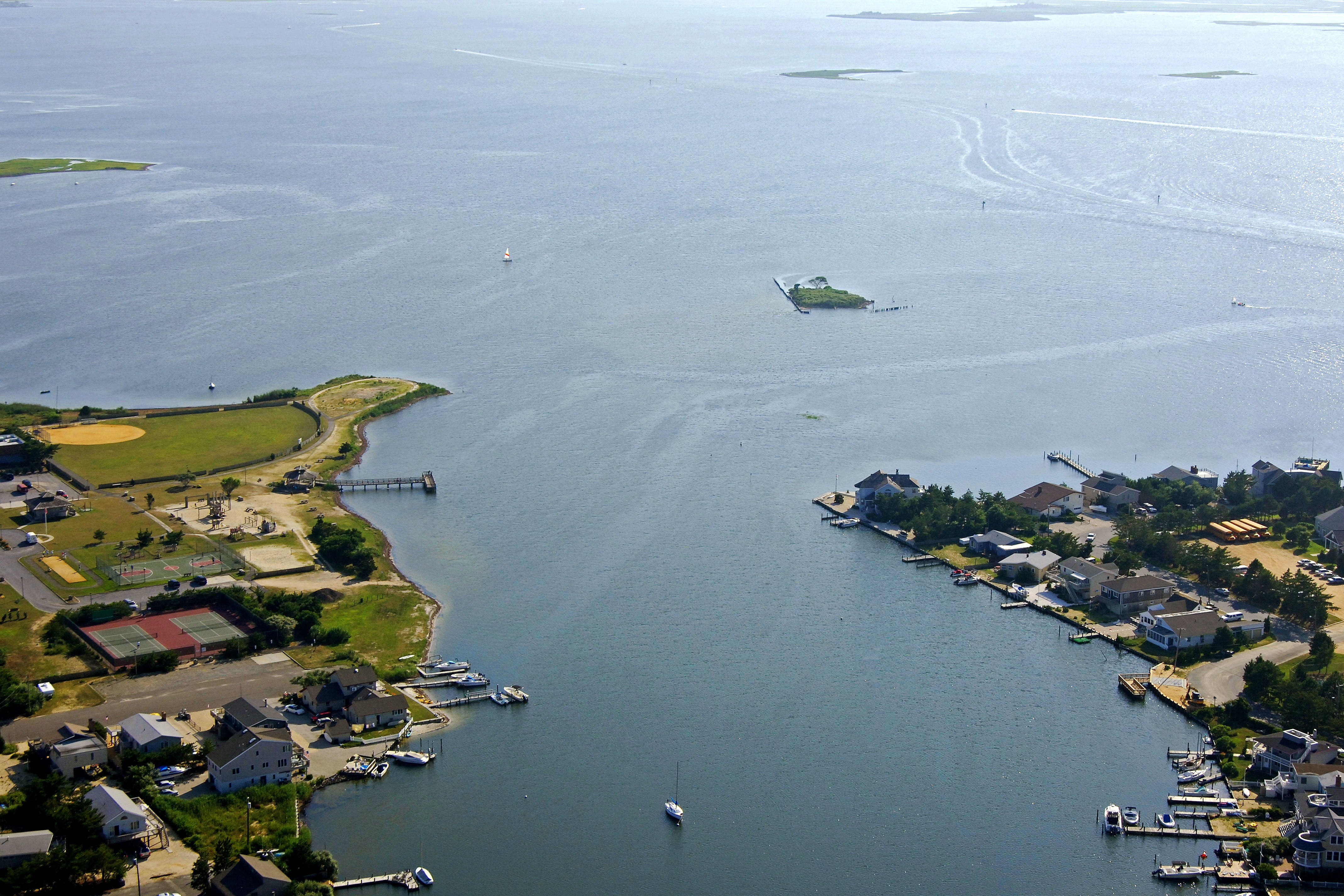
From the New Jersey Intracoastal Waterway south of Sandy Island, first pick up flashing green 55 and red daybeacon 54, which are about a quarter-mile southwest of the opening at Harvery Cove. Once you have cleared these markers, head a little bit farther north to the privately (uncharted) marked channel and make a sharp turn to the east into the approach channel, which has five-foot depths.
Farther in at the opening to Harvery Cove, the channel makes a turn to the north into the cove itself. Inside you will find an excellent marina, a little room for anchoring and five- to seven-foot depths.
Local Notices to Mariners:
Local Notices to Mariners are available online from the U.S. Coast Guard.