Freeport Inlet
| Freeport, Grand Bahama Bahamas | |
| 26° 31' 6.6'', -78° 46' 42.61'' | |
| Freeport Harbour |

You might also consider...


About
Introduction:
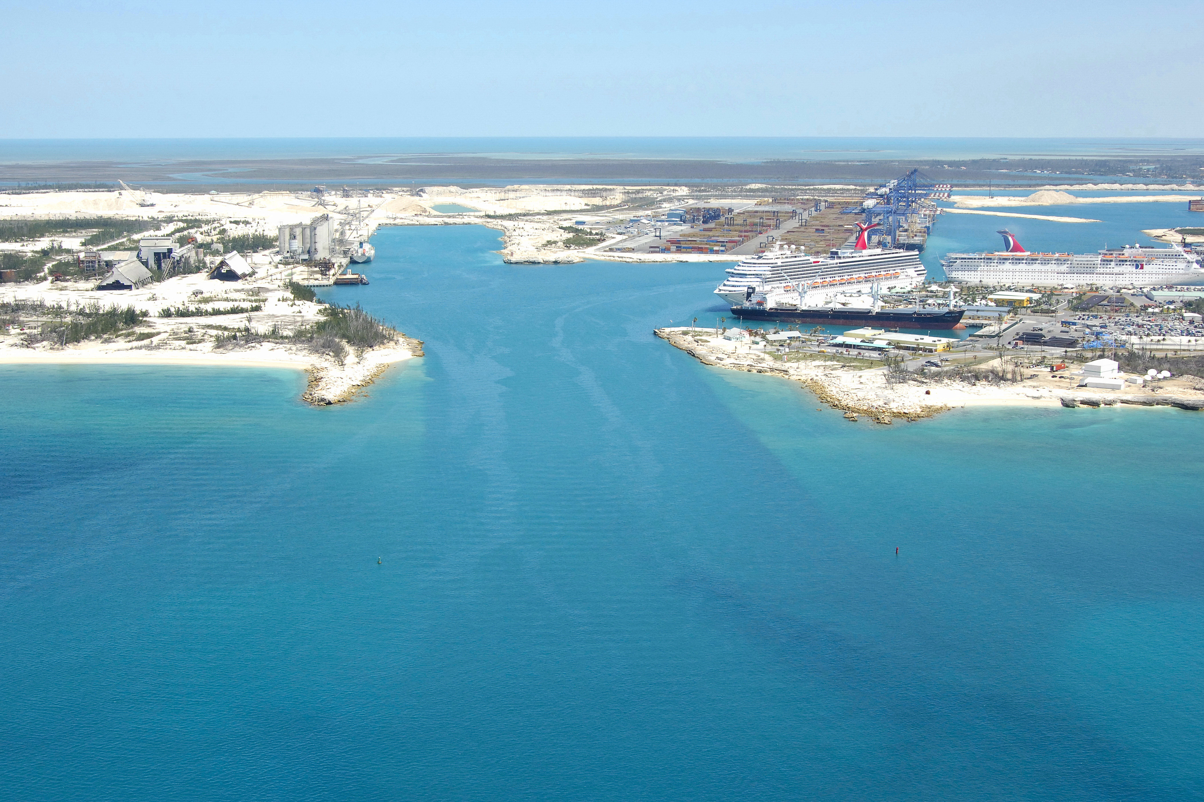
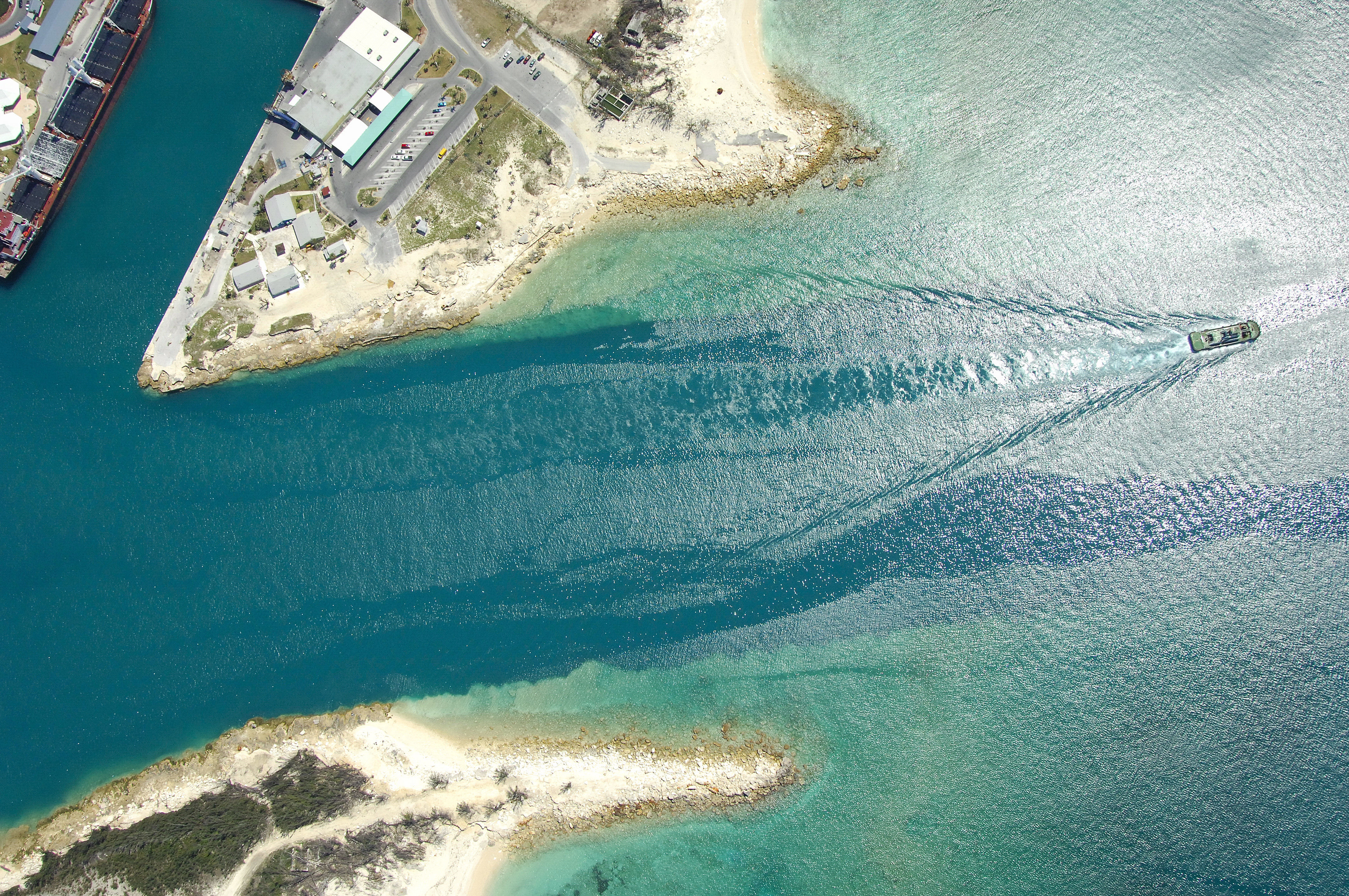
Freeport is the capital of Grand Bahama Island. Although there are many small ports and harbors in the Freeport/Lucaya area, the image above is specifically of Freeport Harbor, an industrial center on the west side of town. To port on entry is the large port facility, and to starboard, the cruise ship terminal, which stays quite busy.
Freeport is primarily an industrial center and offers little in the way of facilities for the traveling cruiser. You can check in with customs and immigration here, but little else (no dockage for boaters). Lucaya, farther east, is where the majority of yachting facilities are located.
Navigating the Water:
The entrance to Freeport Harbor is deep and wide (designed for heavy commercial freighters and cruise ships), but even if you successfully navigate the channel, there are no dockage facilities for recreational boaters inside.
To set yourself up for the approach, first navigate to waypoint 206 29.998N 78 47.058W. Once you have arrived in the area of the waypoint, set and follow a course of 21 degrees true for about 1.7 miles, which will put you right in the turning basin for the large cruise ships.
Local Notices to Mariners:
See our Local Notices to Mariners blog for updates on the latest conditions and advisories for this area.