Slaughter Creek Inlet


You might also consider...


About
Introduction:
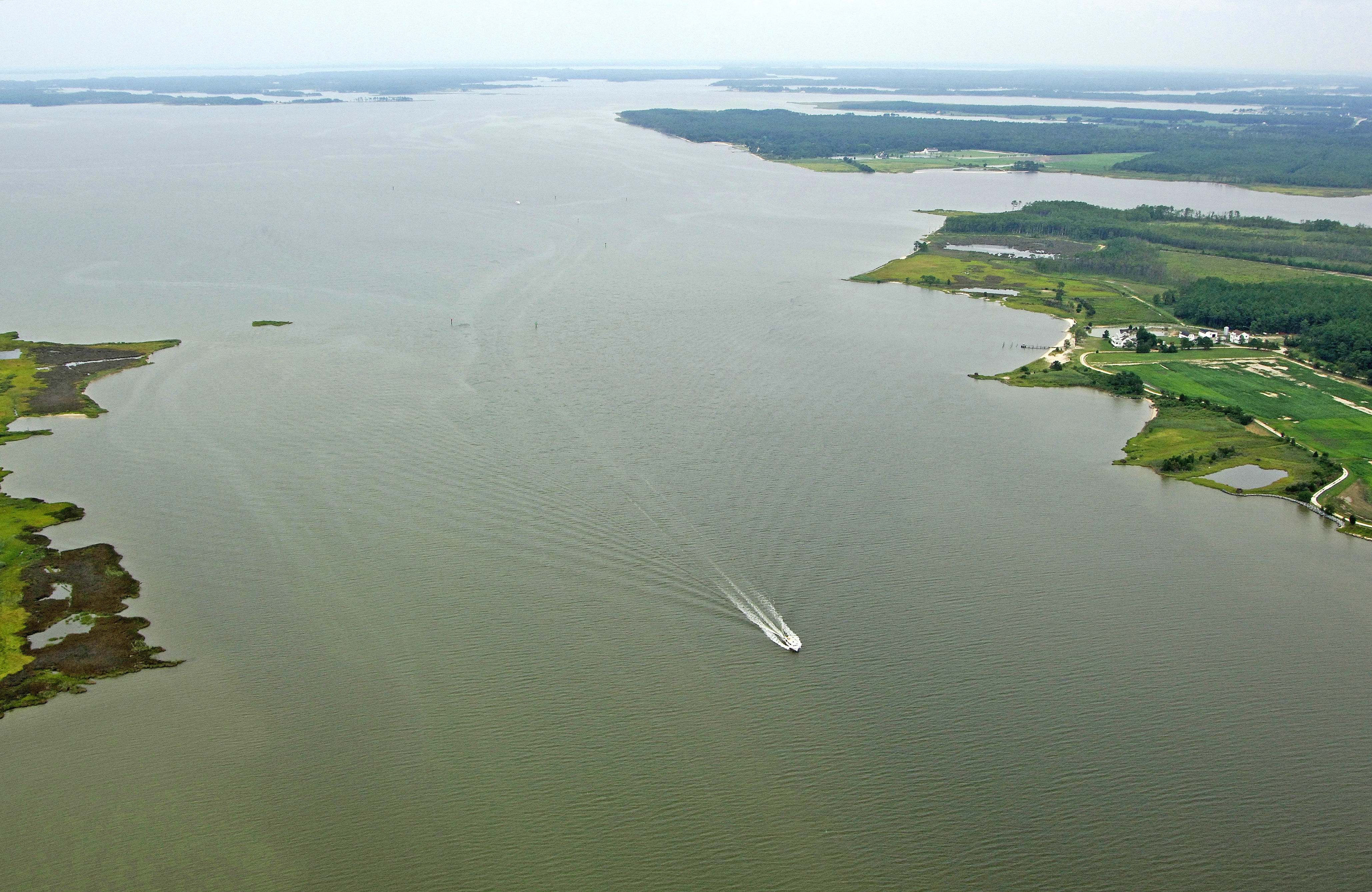
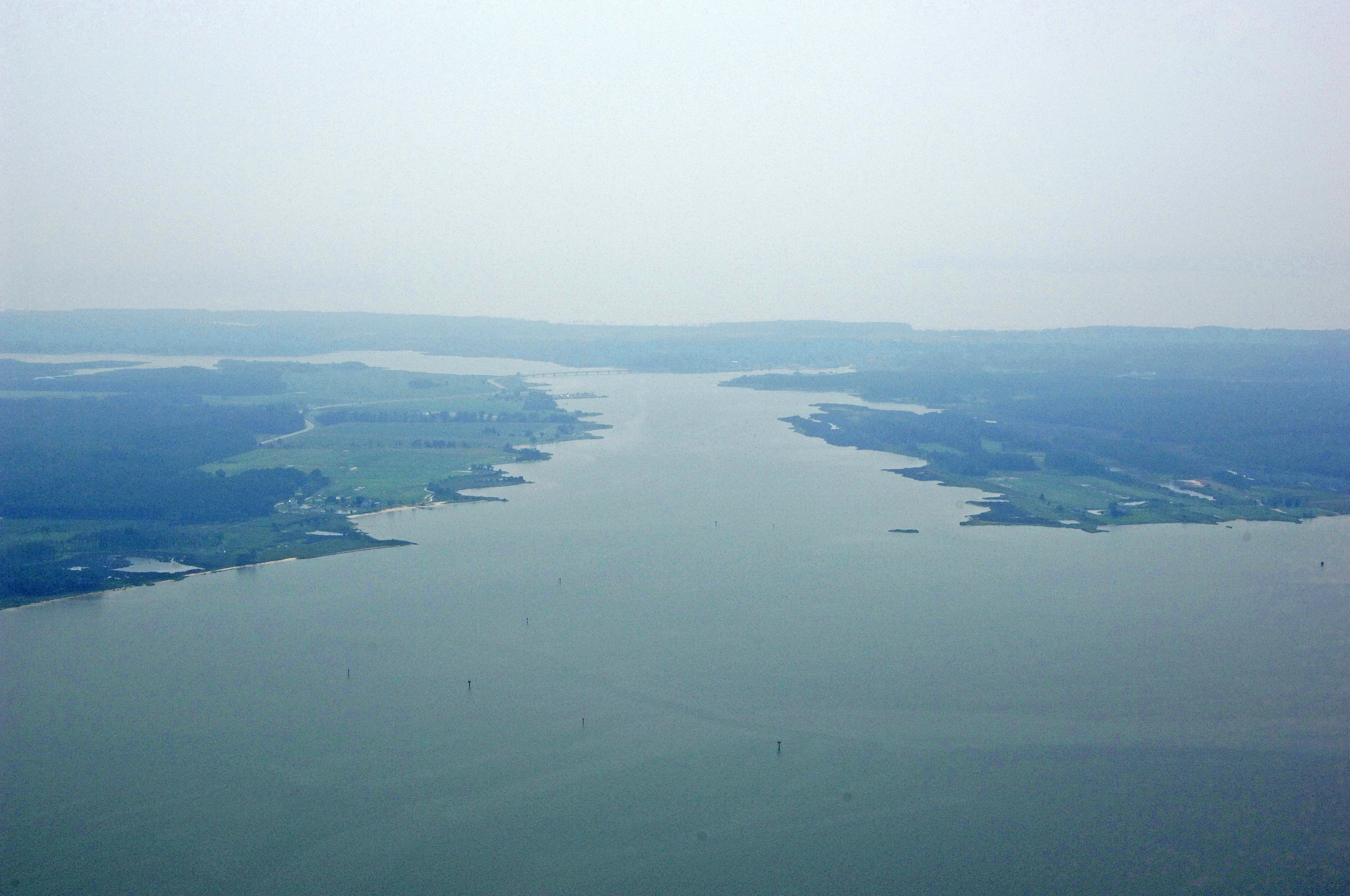
Slaughter Creek is located on the south side of the Little Choptank River east of Hooper Point and west of the Susquehanna Neck. Slaughter Creek, although not a major thorofare for travel south, is an excellent place to explore and gunhkole. A small marina is located on the east side of the 10-foot fixed vertical clearance bridge at Chapel Cove. It is this bridge that sets the vertical clearance for the creek south to the Honga River.
Navigating the Water:
Use NOAA Charts 12264 and 12266.
The entrance to Slaughter Creek has consistent seven-foot depths on the east side as long as you stay toward red daybeacon 6 and green daybeacon 7. Flashing red 2 marks the beginning of the channel in from the Little Choptank River. From here, a series of lit and unlit aids lead the creek behind Hooper Neck. A glance at the image above shows the channel quite clearly.
Local Notices to Mariners:
Local Notices to Mariners are available online from the U.S. Coast Guard.