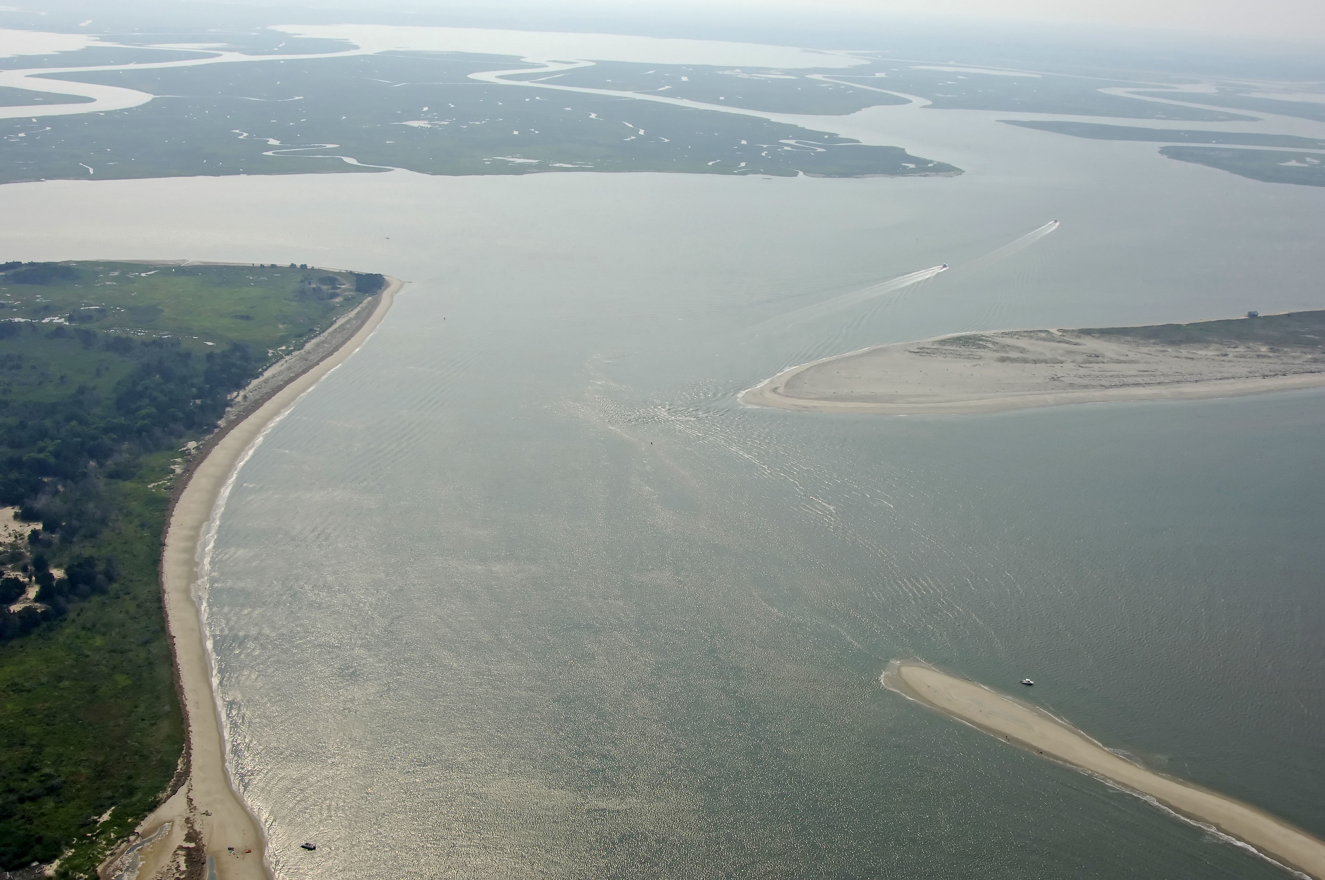
Wachapreague Inlet
| Wachapreague, Virginia United States | |
| 37° 35' 7.8'', -75° 36' 14.03'' | |
| Tangier Island |


You might also consider...


About
Introduction:
Located about eight miles north of the Quinby Inlet and 60 miles south of Ocean City, Wachapreague is a popular commercial and recreational fishing village on the Atlantic Ocean side of Virginias Lower Eastern Shore. Due to its deep and easy-to-navigate inlet, Wachapreague makes an excellent stopover point for mariners transiting the Delmarva Peninsula. The marina in Wachapreague caters to transients and has a railway for repairs.
Navigating the Water:
Use NOAA Chart 12210.
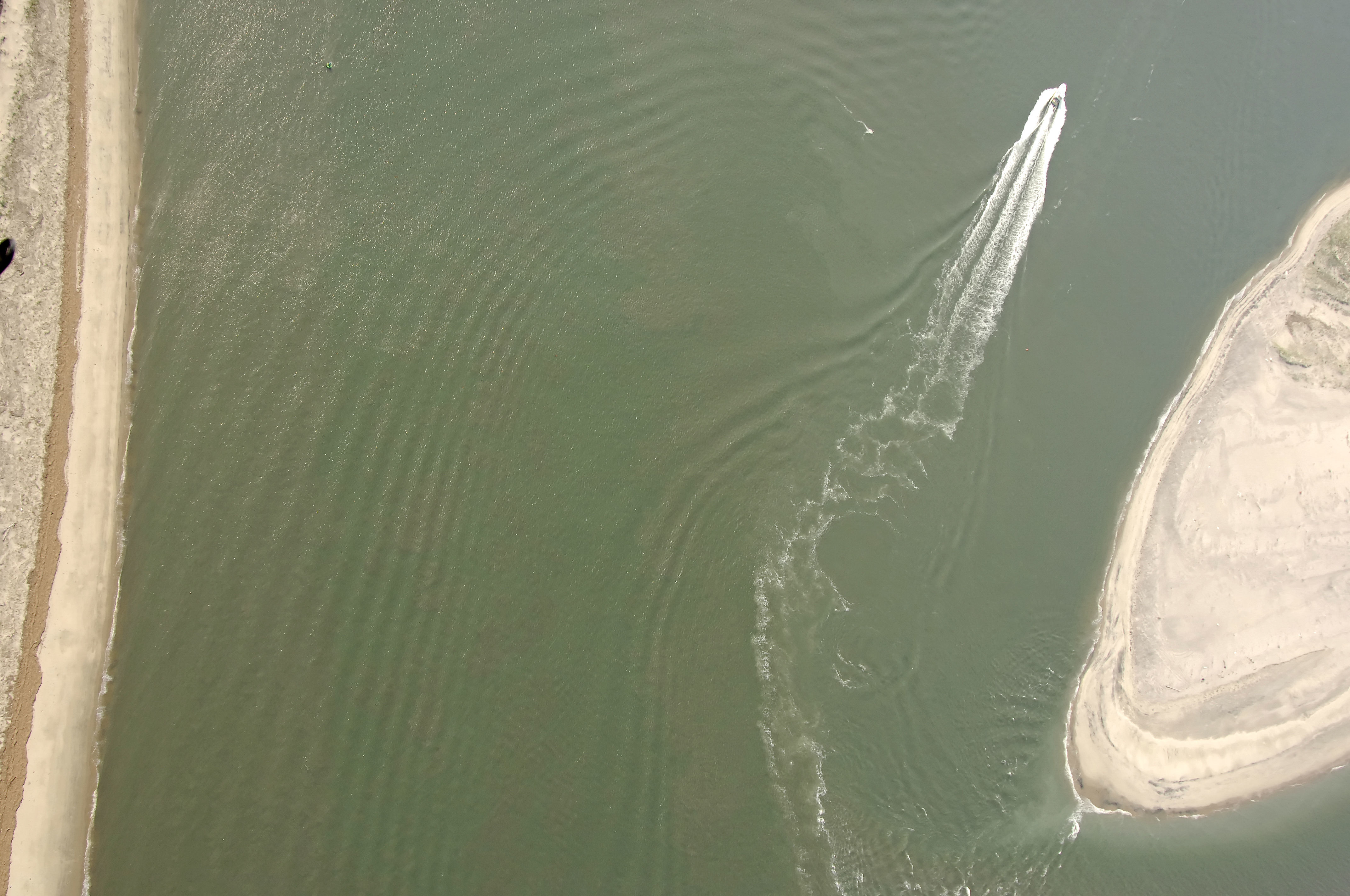
Red and white Morse Buoy A marks the Atlantic approach to the Wachapreague Inlet. Although the inlet can get rough and tiring (like an other Atlantic Coast inlet), Wachapreague is unique in that the depths here remain fairly stable, and 12- to 14-foot depths are the norm. Caution is required, though, as most of the inlet's marks are moved quite frequently, and conditions at the inlet can change almost instantly.
If you draw more than four feet, radio ahead for advance local knowledge.
Local Notices to Mariners:
Local Notices to Mariners are available online from the U.S. Coast Guard.