Cotuit Bay Inlet
| Cotuit, Massachusetts United States | |
| 41° 36' 36.0'', -70° 26' 0.97'' | |
| Osterville Harbor |

You might also consider...


About
Introduction:
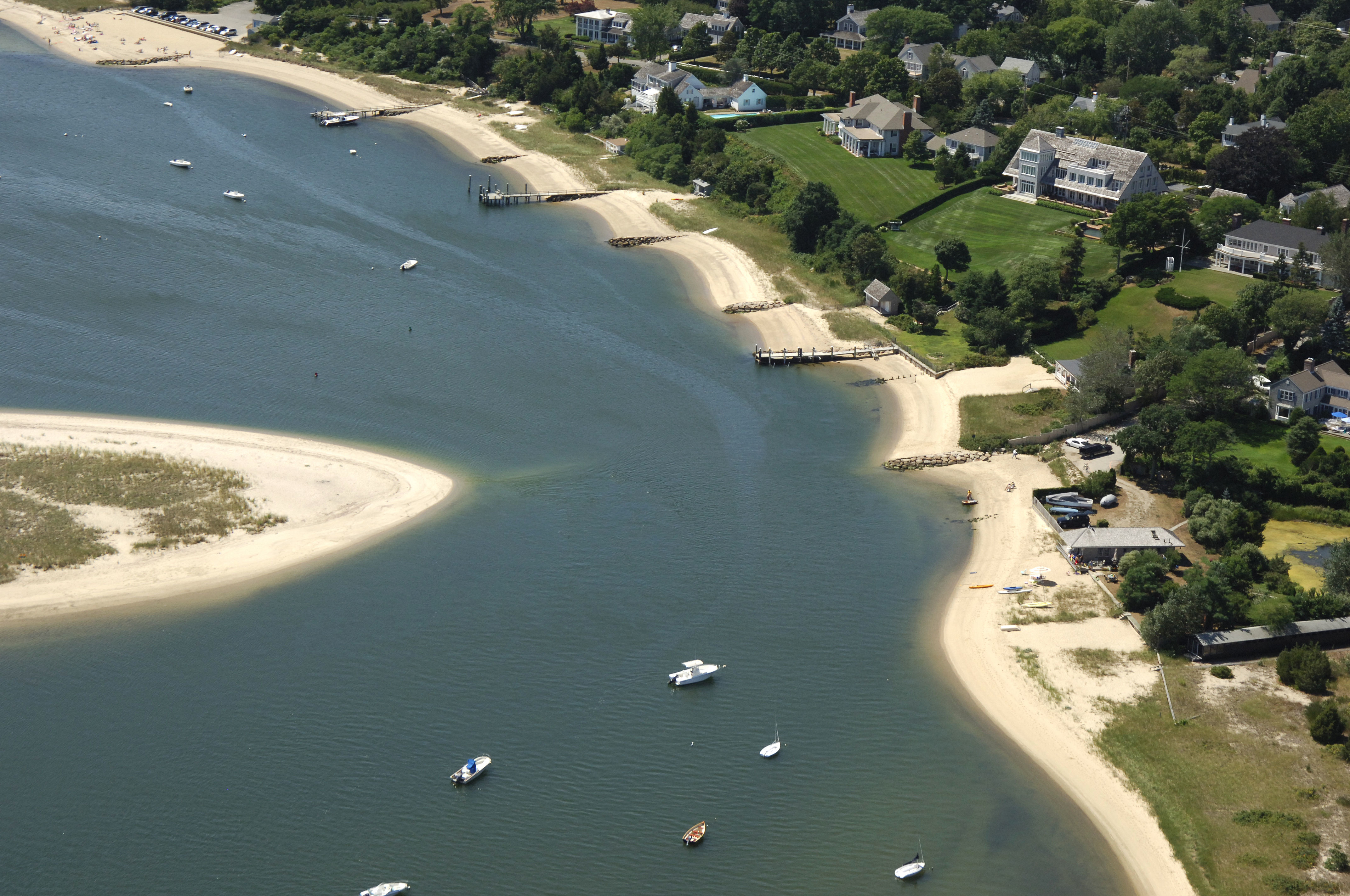
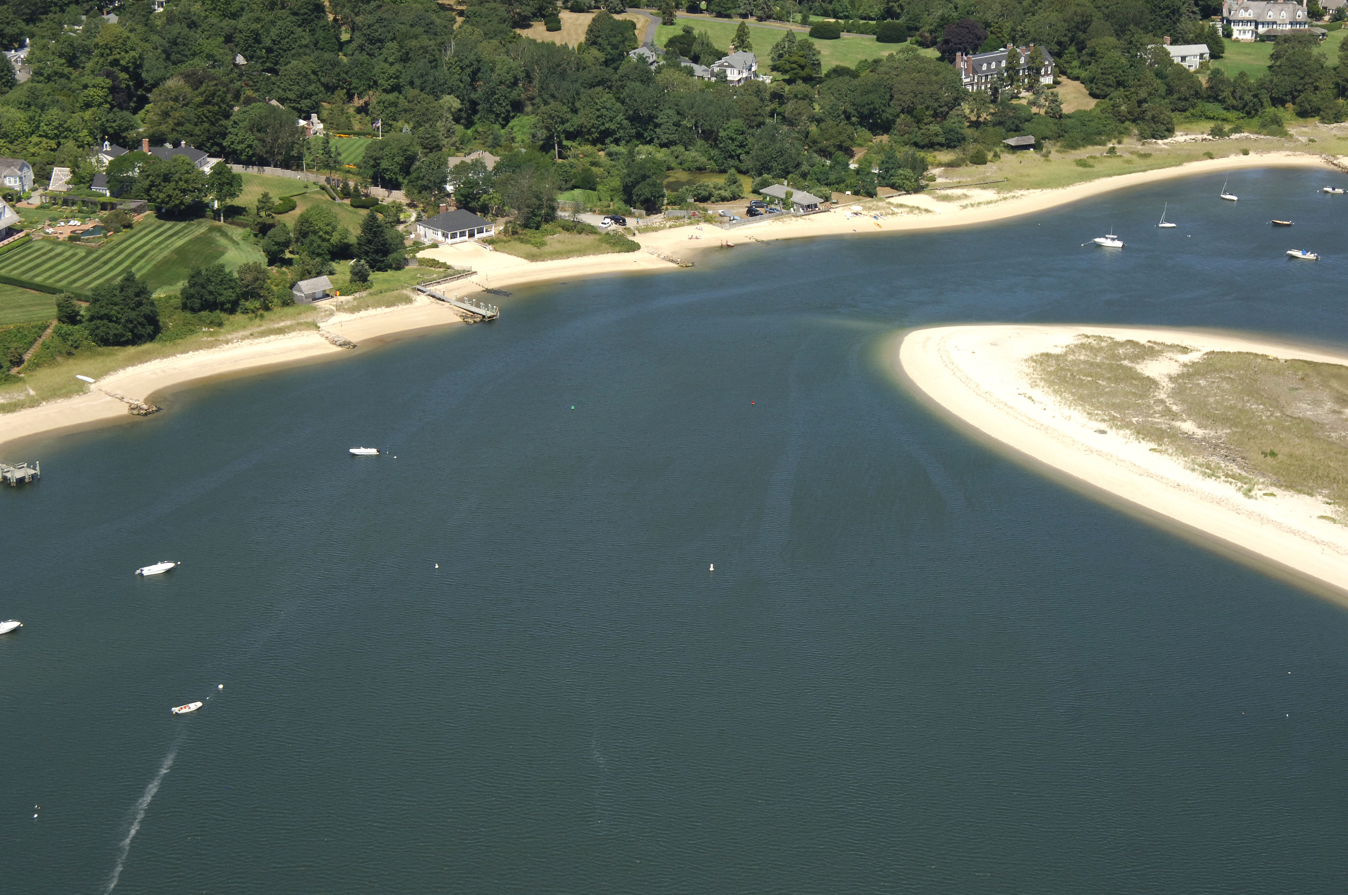
Part of a large complex of bays and backwaters on the south shore of Cape Cod, Cotuit Bay is the westernmost entry into the town of Cotuit, and leads on into West and North bays toward the town of Osterville. Cotuit Bay is 13 miles from Marthas Vineyard and nearly 30 miles from Nantucket. Inside Cotuit Bay you will find two large anchorages, and farther on toward Osterville in North Bay, there are a handful of well-equipped marinas that accept transient visitors.
Navigating the Water:
Use NOAA Chart 13229.
From Vineyard Sound, Cotuit Bay is reached by a long channel that reportedly had depths of four feet, but be aware that there are no buoys or fixed aids to navigation to guide you in. If your boat has a shallow draft, a slow and cautious approach will lead you in past Samsons Island and into the bay.
The shallow entrance channel is actually only a short cut the leads from Cotuit Anchorage into the Cotuit Bay Inlet. The inlet to the bay actually has good depths (seven to eleven feet), but shallows again to three-foot depths past Bluff Point. If you can make it past the shoal at Bluff Point.
Local Notices to Mariners:
Local Notices to Mariners are available online from the U.S. Coast Guard.