Ludlam Thorofare Inlet
| Sea Isle City, New Jersey United States | |
| 39° 10' 5.15'', -74° 41' 57.13'' | |
| Ocean City |

You might also consider...

About
Local Notices to Mariners:
Local Notices to Mariners are available online from the U.S. Coast Guard.
Introduction:
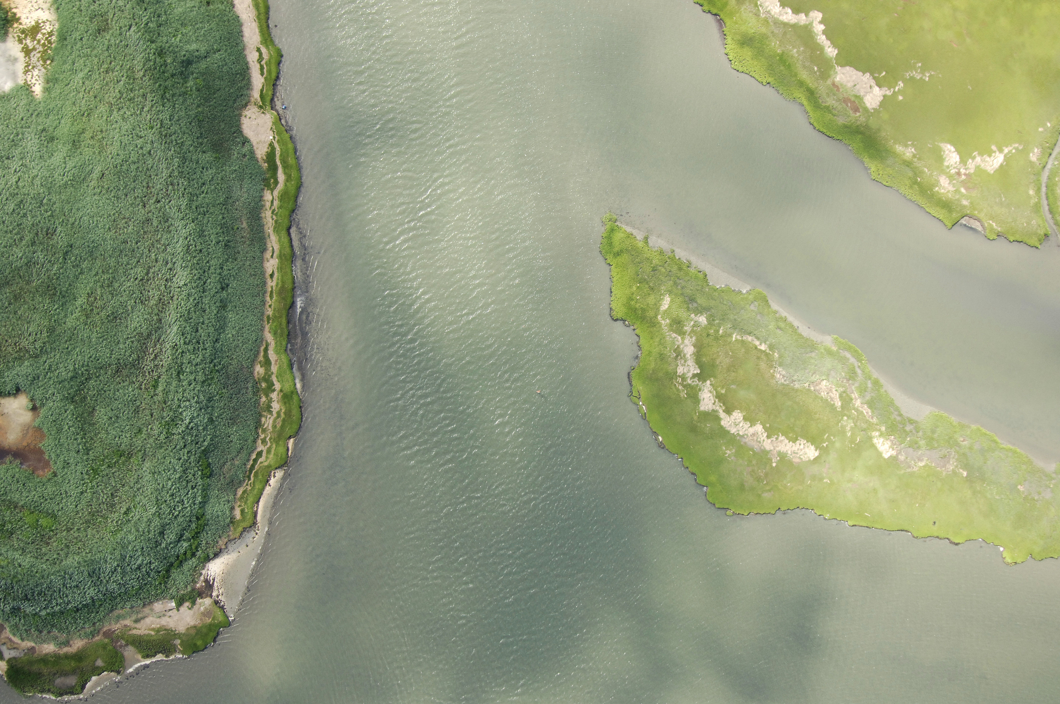
Between the Hereford Inlet and Great Egg Inlet, the New Jersey Intracoastal Waterway (NJICW) runs a twisting, winding course through marshes and dredged channels, breaking away at inlets until opening up at Great Egg Harbor Bay.
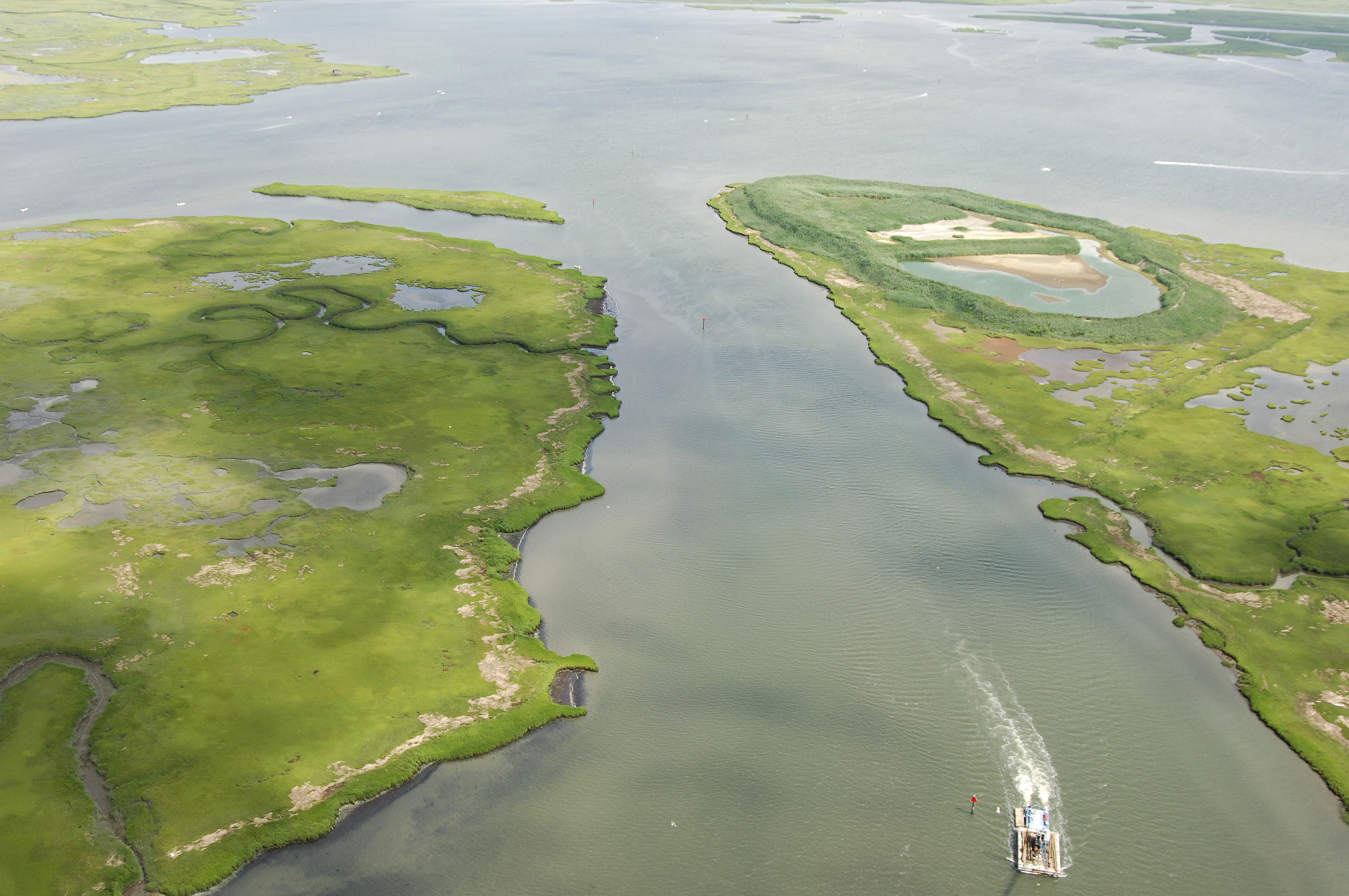
The image above is a view from the south looking north over the NJICW where it empties into Ludlam Bay near NJICW Mile 97. To the right is Sea Isle, while farther out, Ludlam Bay can clearly be seen. The dredge barge above is rounding red daybeacon 352.
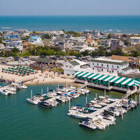
Sea Isle City, which is located on the northern end of the Ludlam Thorofare has an excellent array of marina facilities and there are accommodations for transient guests.
Navigating the Water:
Use NOAA Chart 12316.
From NJICW Mile 95, pick up flashing green 367 where the Ludlam Thorofare breaks off the Townsend Channel. Once you have successfully picked up green daybeacon 367, head for flashing green 365, which is directly in the mouth of Ludlam Thorofare east of Gull Island. Next i line to port is red daybeacon 364 near NJIW Mile 95, and then green daybeacon 363 and quick flashing red 362 a little farther on.
The thorofare makes a bend toward the northwest for a short distance after quick flashing red 362, and then you will continue north along the passage past green daybeacon 361, flashing green 359, green daybeacon 357, and then under a 35-foot fixed vertical clearance bridge.
Past the bridge, you will follow red daybeacons 356, 354, 352, 350, and then finally, flashing green 349 into Ludlam Bay.