Jekyll Creek Inlet
| Jekyll Island, Georgia United States | |
| 31° 1' 58.8'', -81° 26' 12.83'' | |
| Jekyll Island |

You might also consider...

About
Introduction:
Jekyll Creek carries the Intracoastal Waterway to behind Jekyll Island from St. Simons Sound, eventually emptying into Jekyll Sound to the south. There are two marinas along Jekyll Creek, and both of them accept transient guests. The Jekyll Historic District is close to both marinas and is an excellent place to walk and explore the old plantation mansions from the 20s and 30s.
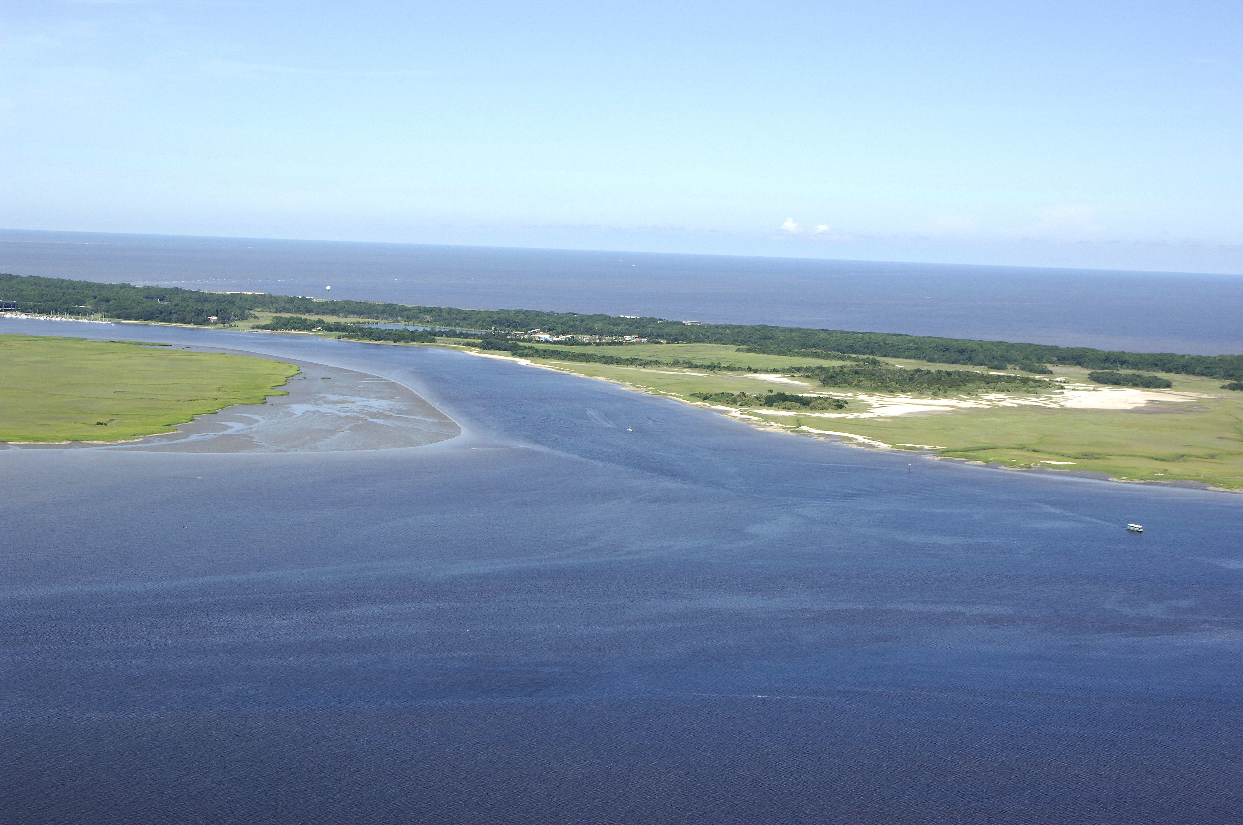
The image above is a view from the south looking north over Jekyll Creek and the southern tip of Jekyll Island to the right. Beyond Jekyll Island on the horizon is the Atlantic Ocean, and Jekyll Sound occupies the lower portion of the image. Jekyll Sound and the Intracoastal Waterway eventually empty into St. Andrews Sound at Jekyll Point near flashing green 29.
Navigating the Water:
Use NOAA Chart 11489.
Approaching from the north, once you clear the 65-foot fixed vertical clearance ME Thompson Memorial Bridge, pick up red daybeacon 24 at Intracoastal Waterway Mile 685, and then continue southwest toward flashing green 25. Once you have picked up flashing green 25, the Intracoastal Waterway route bends south, then southeast toward Jekyll Point. Red daybeacon 26 marks a long shoal in Jekyll Sound, and is followed by flashing green 27, and then flashing green 29 at Jekyll Point. From here, the ICW route turns out into St. Andrews Sound before turning back inland t the tip of Cumberland Island.
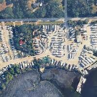
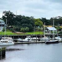
There are two marinas in the Jekyll Creek area, and they are situated north and south of the 65-foot fixed vertical clearance ME Thompson Memorial Bridge at Intracoastal Waterway Mile 644.3. To the north of the bridge is the Jekyll Wharf Marina, which is situated right in the heart of Historic Jekyll Island among groves of Spanish moss draped live oak trees in the shadow of old rehabilitated mansions from days of wealth. The Jekyll Island Club is a large hotel and resort in the Historic District only a short walk away from the marinas (if you need a luxurious shore side break). The second marina is the Jekyll Harbor Marina farther south, with road access to Jekyll Island attractions.
Local Notices to Mariners:
Local Notices to Mariners are available online from the U.S. Coast Guard.