Hyannis Town Harbor Inlet
| Hyannis, Massachusetts United States | |
| 41° 38' 44.89'', -70° 16' 24.95'' | |
| Hyannis Harbor |


You might also consider...

About
Introduction:
Tucked back behind Hyannis Harbor and Lewis Bay, Hyannis is famous not only for its recreational boating facilities and convenient location on Cape Cod, but also as a past home to America's royalty, the Kennedy's. Hyannis is located on the south shore of Cape Cod due north of Nantucket, and is conveniently placed about halfway out the eastward length of Cap Cod.
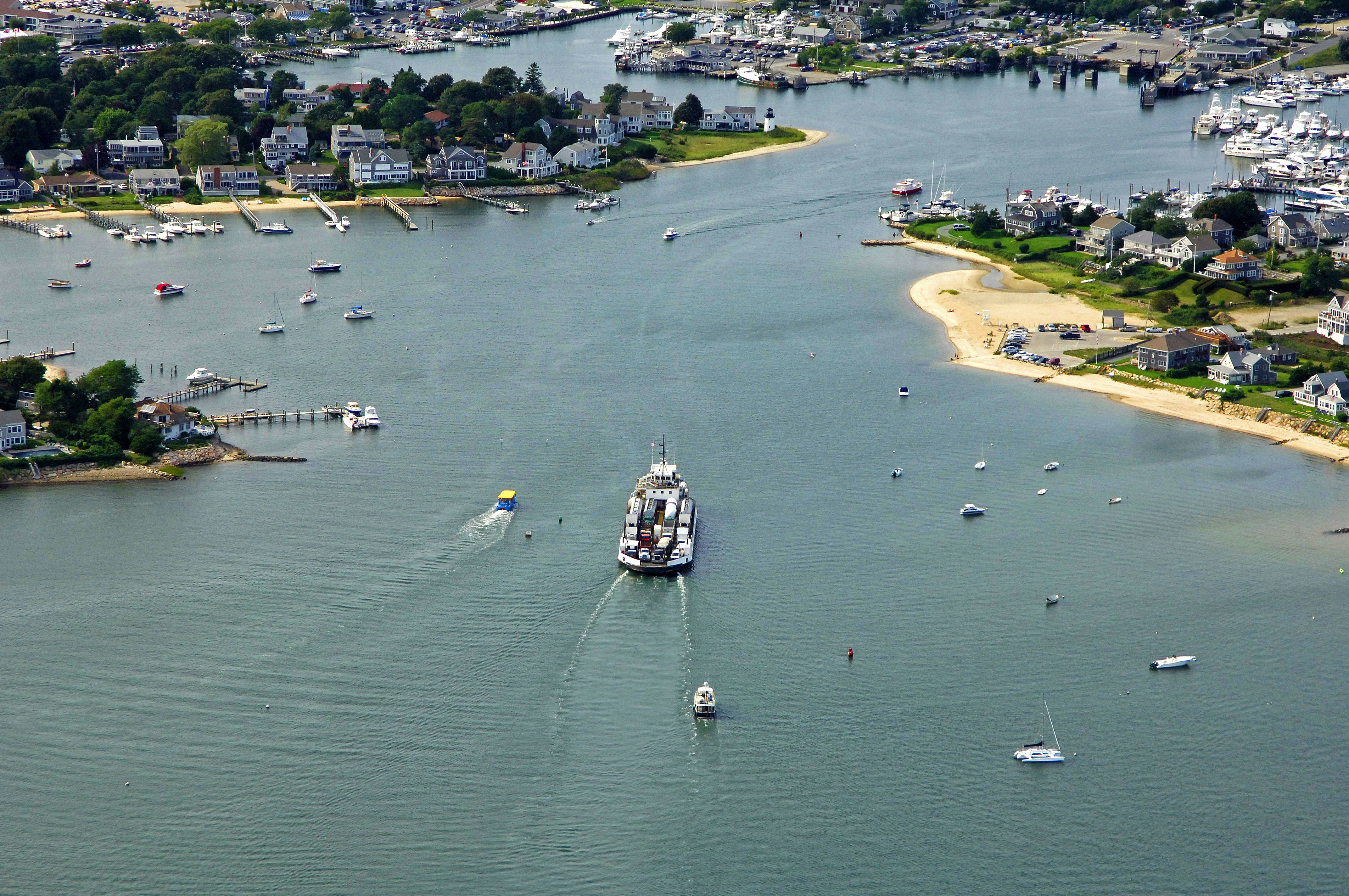
The image above is a view from the southeast looking northwest across inner Hyannis Harbor. The small section of land to the left (west) is Harbor Bluff, while farther into the harbor, the Nantucket Ferry Dock can be seen. Off to the right is the Hyannis Marina, which is the largest marina in the town of Hyannis. They have transient slips, gas and diesel fuel, and a lift for haul-outs and related repairs. Moorings are available behind Harbor Bluff or some boaters anchor just outside of the entrance beyond the mooring field that can be seen in the lower right-hand portion of the image.
Navigating the Water:
Use NOAA Chart 13229.
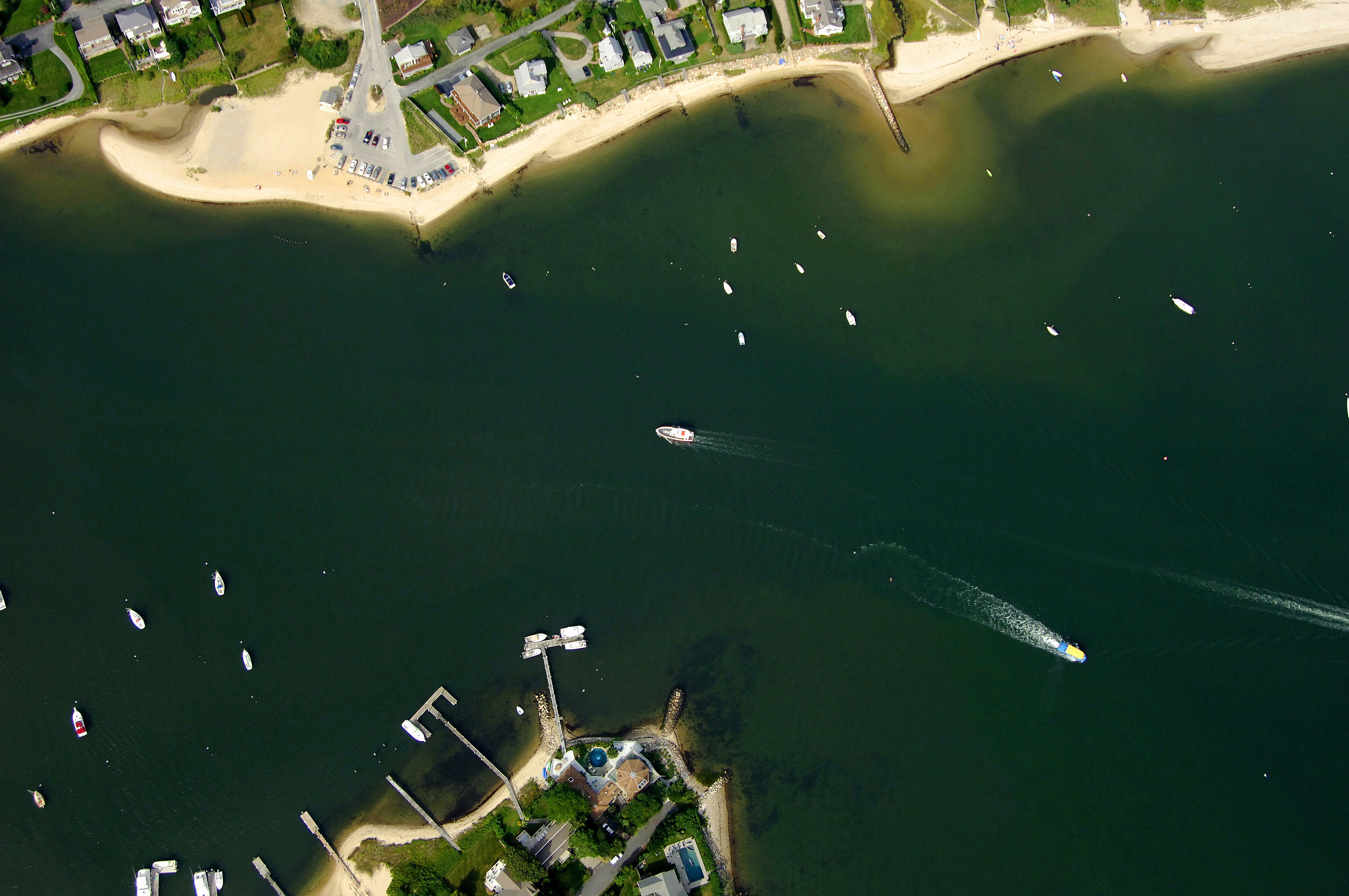
Hyannis Harbor and Lewis Bay, which must be transited to reach the town of Hyannis, are approached from the southwest via Nantucket Sound. Although red and white Morse (A) buoy HH marks the official offshore entrance into Hyannis Harbor and Lewis Bay, most boaters navigate to waypoint N41 37.18 W70 17.47 and line up for the entry at flashing green buoy 5 and flashing red buoy 6. Once you have cleared flashing green buoy 5 and flashing red buoy 6, continue to the northeast to intercept green can buoy 7 and red nun buoy 8, and then farther on to flashing green buoy 9 and flashing red buoy 10 .
After you have cleared that set of buoys from Hyannis Harbor, set a course to pick up flashing green buoy 11 and red nun buoy 12 near Dunbar Point, and then run north to green can buoy 13 and flashing red buoy 14, just to the north in Lewis Bay. The next section is a straight shot to the north where you will pick up quick flashing red buoy 18 and green nun buoy 19 just southeast of Harbor Bluff. Once you have reached these buoys, red nun buoy 20 and green can 21 usher you into Hyannis. Keep an eye out for moored and anchored boats on your approach.
Local Notices to Mariners:
Local Notices to Mariners are available online from the U.S. Coast Guard.