Waquoit Bay Inlet
| Waquoit Village, Massachusetts United States | |
| 41° 32' 41.99'', -70° 31' 48.0'' | |
| Falmouth Harbor |

You might also consider...


About
Introduction:
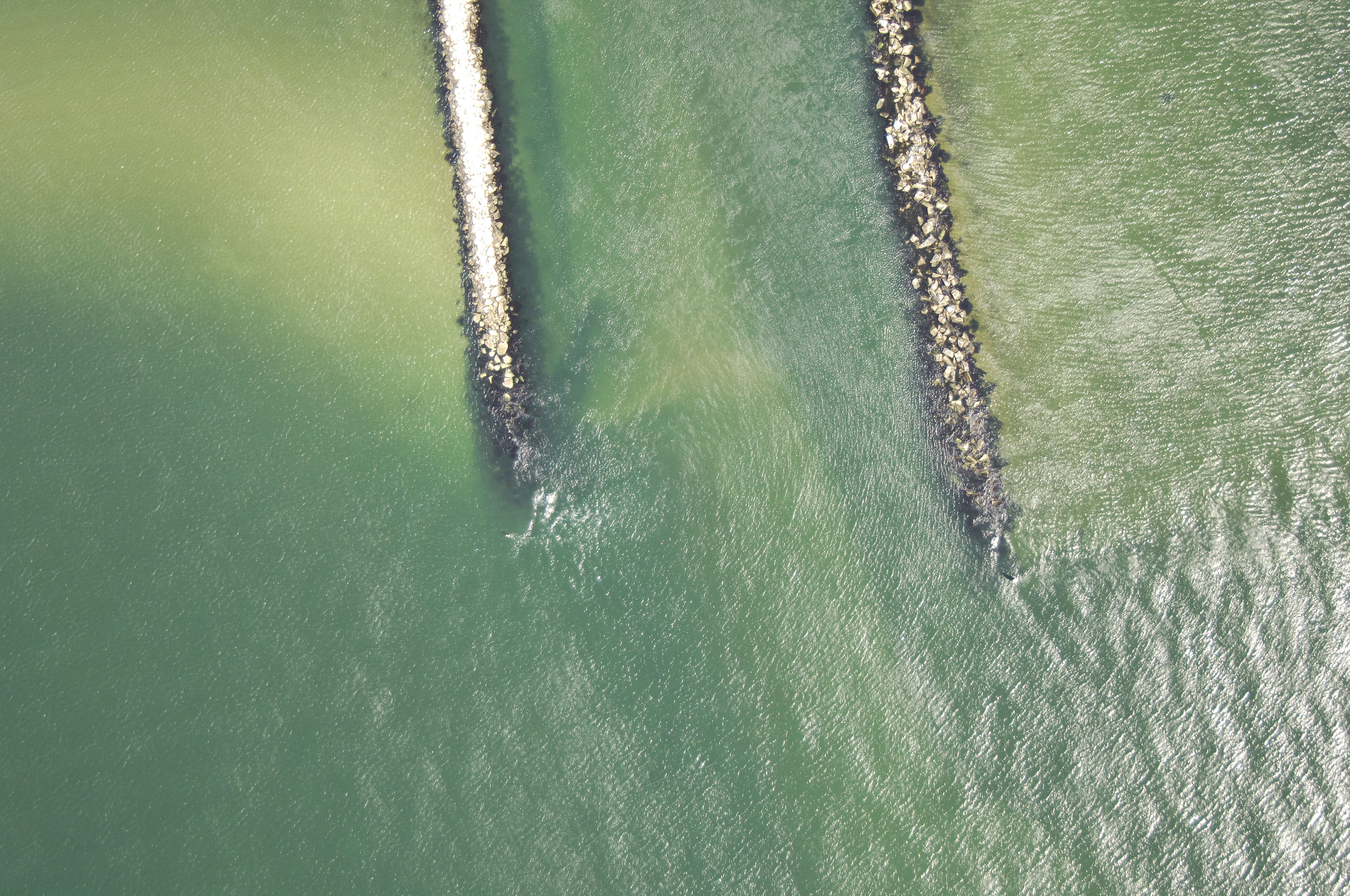
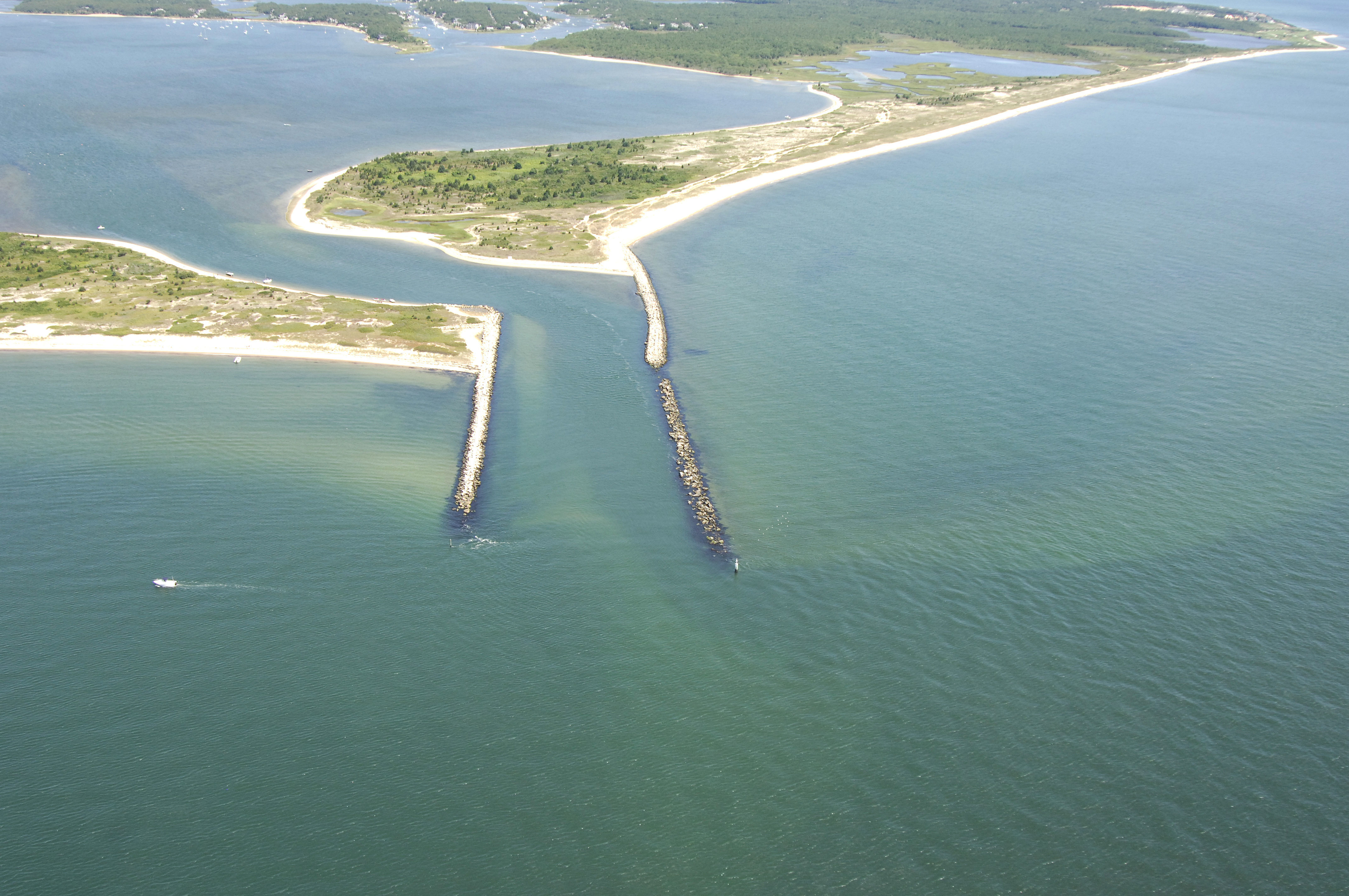
Waquoit Bay is located about three miles east of Great Pond and Lewis Neck on the south shore of Cape Cod off Nantucket Sound. Waquoit Bay is home to hundred of recreational vessels, and along with a couple of marinas at the head of the bay, there are a variety of moorings available for transient boaters. Depths in the inlet and the bay average about four feet.
Navigating the Water:
Use NOAA Chart 13229.
From Nantucket Sound, pick up the flashing red privately maintained (and unnumbered) light on the east breakwall of the inlet. From here, weave your way through the the inlet (six-foot depths), and then proceed north through the line of unlighted buoys to the marine facilities in the northern part of the bay.
Local Notices to Mariners:
Local Notices to Mariners are available online from the U.S. Coast Guard.