Mile Rocks Lighthouse
| California United States | |
| 37° 47' 33.0'', -122° 30' 32.41'' | |
| San Francisco |


You might also consider...


About
Introduction:
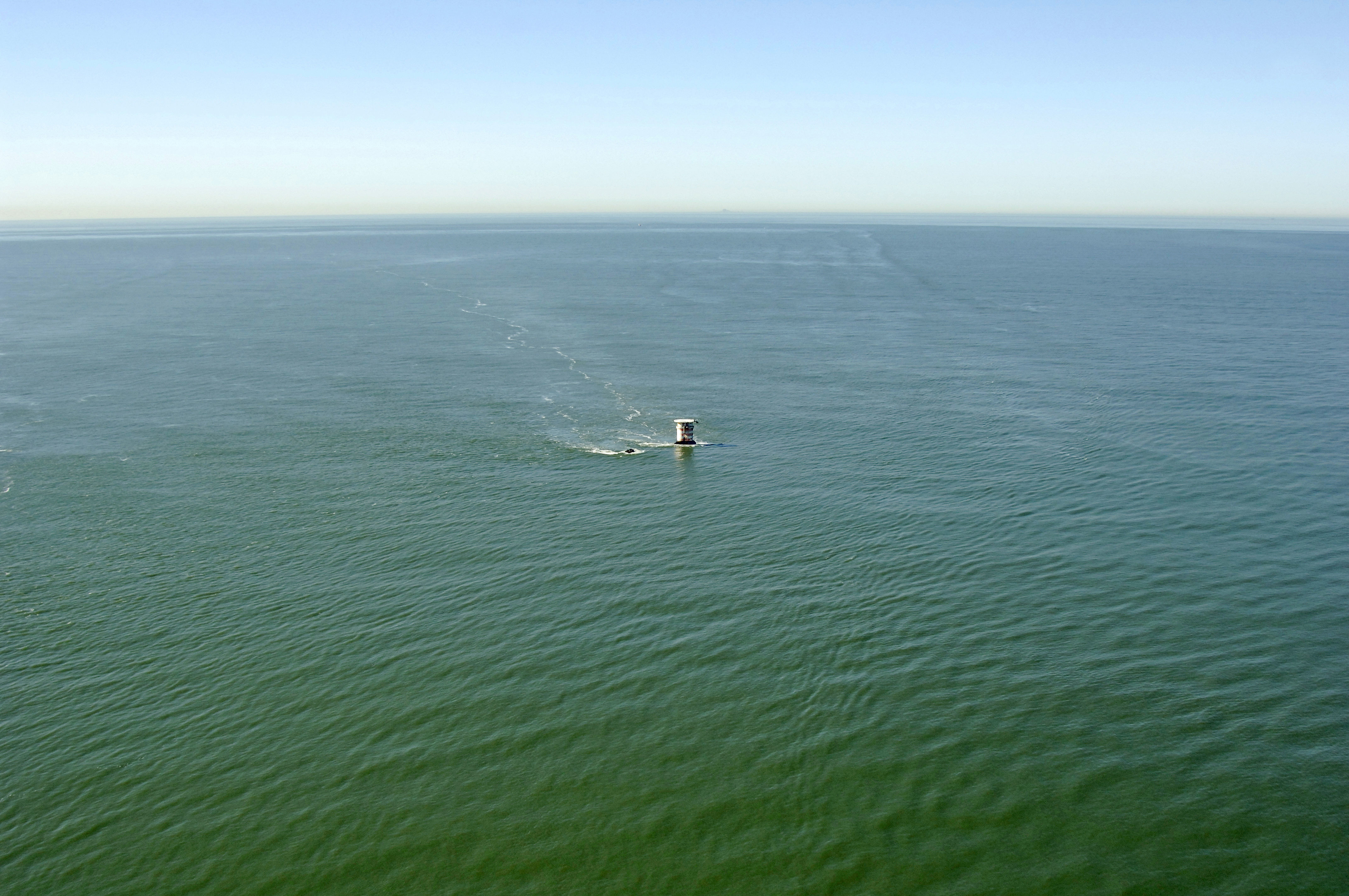
The orange and white caisson west of the Golden Gate bridge is Mile Rocks Lighthouse. Currently a modernized and automated, this odd structure was once a large and formidable lighthouse. Mile Rocks are a pair of stones about a half-mile north of Point Lobos. The larger of the two rocks rises some 20 feet above sea level. The rocks were considered these to be a serious hazard due to fog and strong currents in the area very early on.
The current light flashes a white beam every five seconds some 49 feet above the waters of Golden Gate.
History:
In November 1889, the rocks were marked with a bell buoy, but the buoy failed when strong tidal currents would submerge the buoy. A decision was made to install and construct a lighthouse on the rocks. The builder of the new lighthouse set out with a crew of skilled workmen in 1904. When the crew saw that they would have to work on the small, wave-washed rock, they refused to work.
In the 1960's, despite protests from the general public, the tower of Mile Rocks was dismantled in the name of progress. The Coast Guard had deemed the station difficult to access and best suited to automation. The tower was removed and a helicopter pad built atop the caisson. Conversion was completed in August 1966.
Navigating in and Around the Lighthouse:
Use NOAA Chart 18649.
Mile Rocks Lighthouse marks the southern and of the Golden Gate and San Francisco Bay shipping lanes (Point Bonita marks the north side). Although the water is deep inside the channel barriers, Golden gate is notorious for its strong currents, wind-opposed waves and fog. The cautious mariner will have the best success here.
Local Notices to Mariners:
Local Notices to Mariners are available online from the U.S. Coast Guard.
Tour Schedule:
The lighthouse is not open for tours due to its extremely remote and dangerous location.