San Luis Obispo Lighthouse
| California United States | |
| 35° 9' 38.88'', -120° 45' 43.2'' | |
| San Luis Obispo |


About
Introduction:
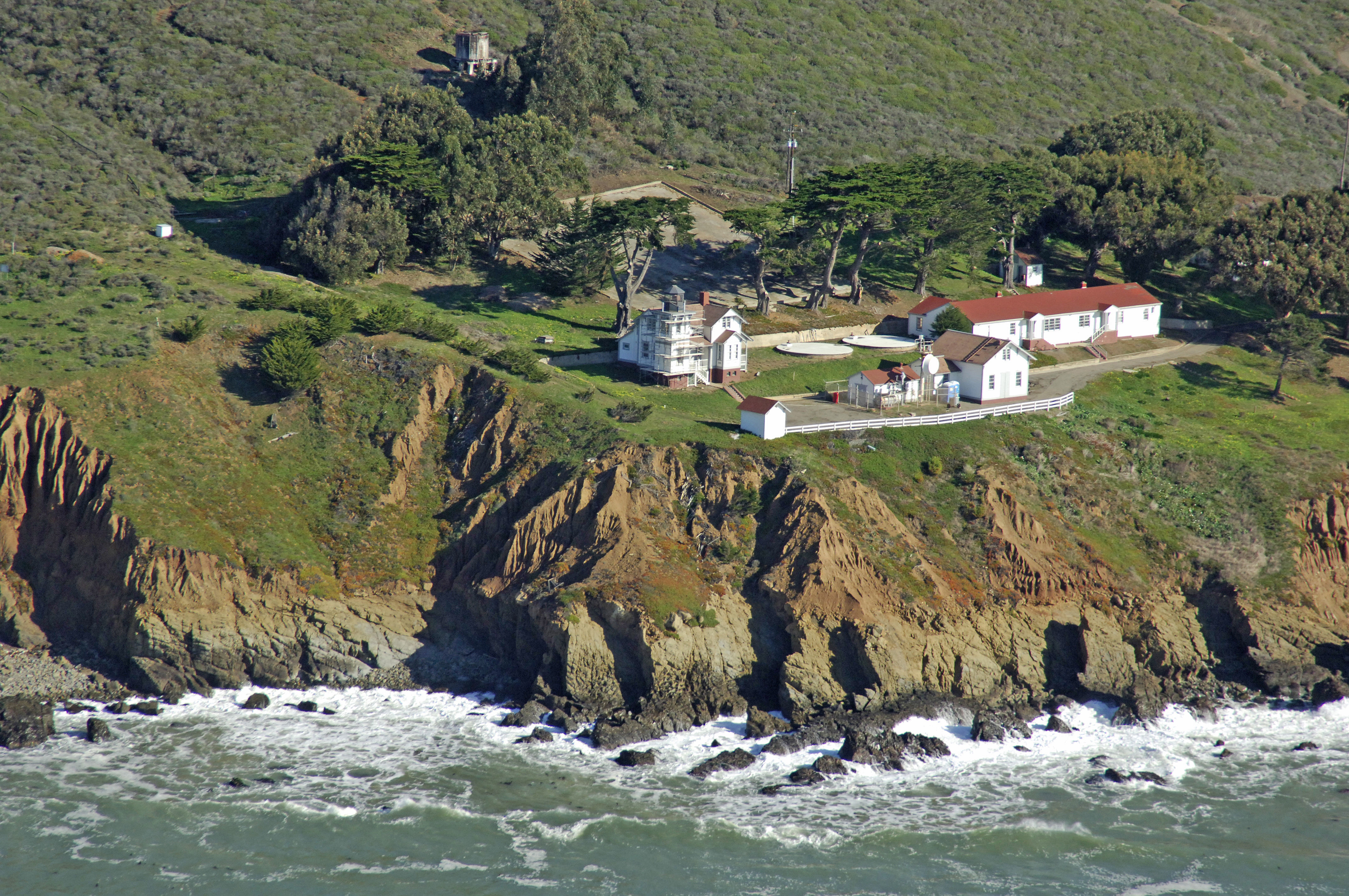
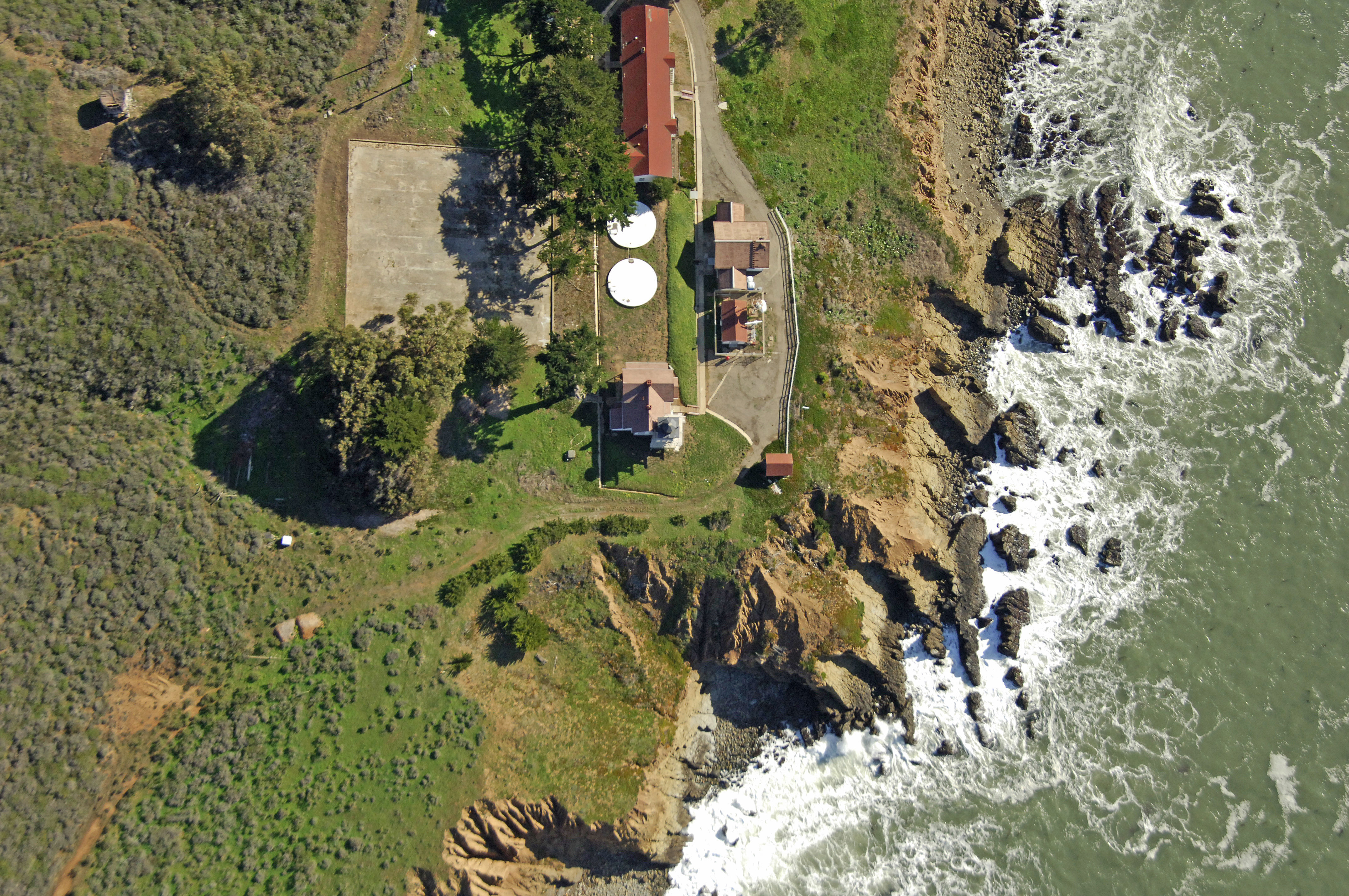
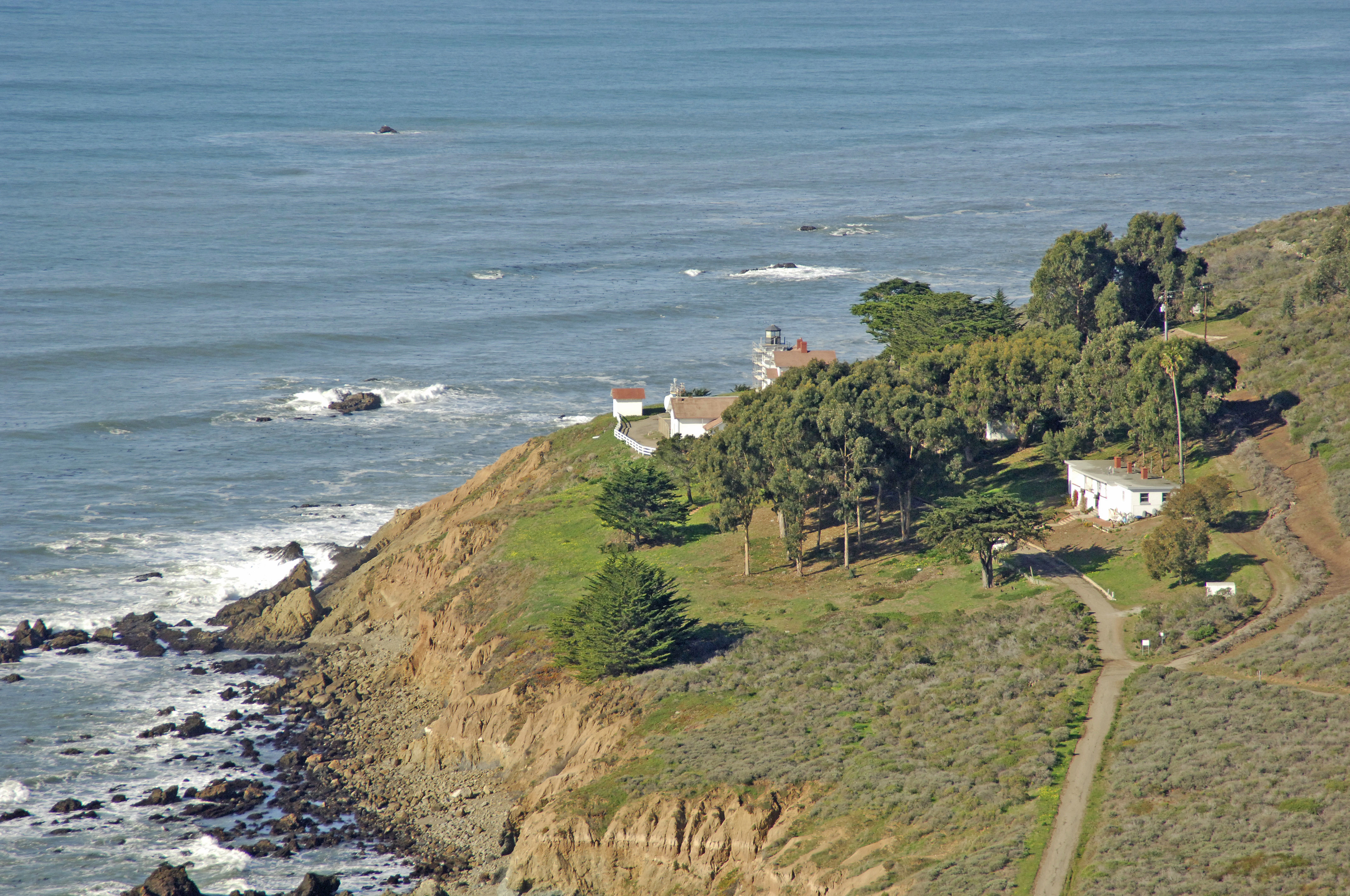
Perched atop the cliffs of Point San Luis, San Luis Obispo Lighthouse marks the western edge of San Luis Obispo Bay and serves as an important aid to bavigation for mariners transiting the coast.
History:
Once an important commercial harbor, Port San Luis and the surrounding harbor was granted funds for a lighthouse at Point San Luis in 1885. Bureaucratic red tape delayed the final commissioning of the lighthouse and completion until 1890. The light was automated in 1974.
Navigating in and Around the Lighthouse:
Use NOAA Chart 18703.
Characteristics: Flashing white every five seconds at a focal height of 116 feet. Horn signal during periods of reduced visibility.
Local Notices to Mariners:
Local Notices to Mariners are available online from the U.S. Coast Guard.
Tour Schedule:
The lighthouse is on the grounds of the Diablo Canyon Nuclear Power Plant and is not open for tours.