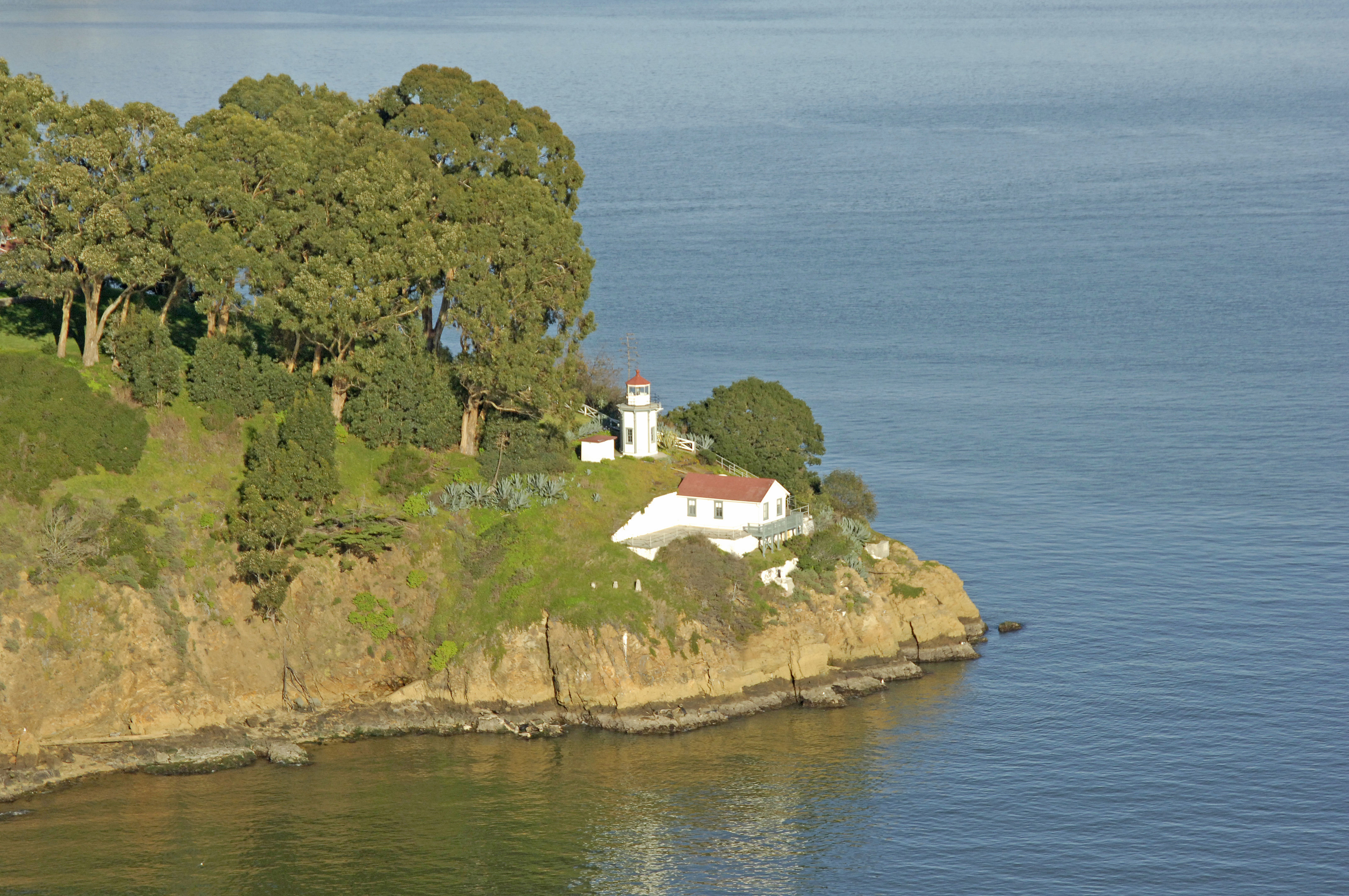
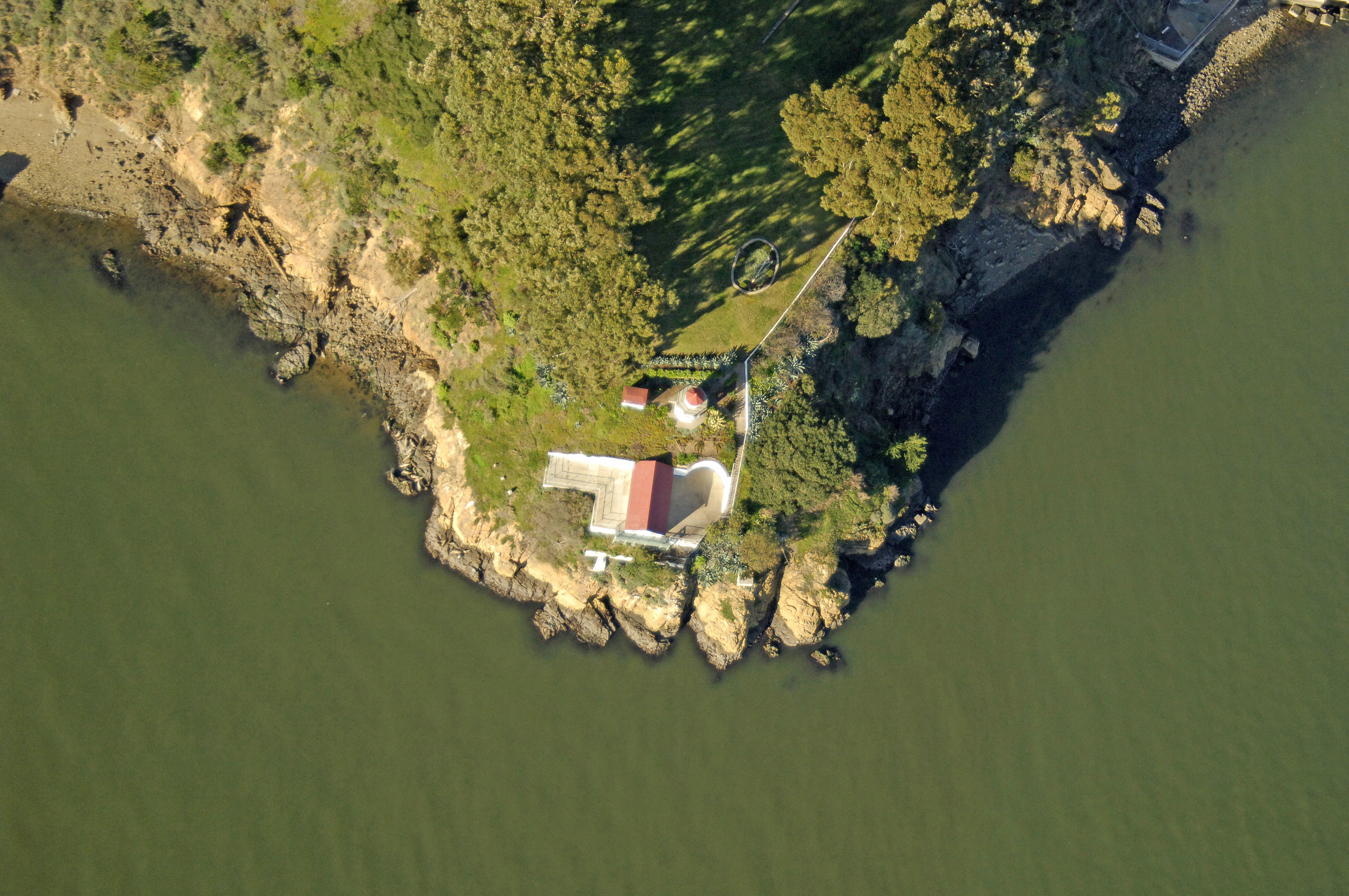
Yerba Buena Island Lighthouse
| California United States | |
| 37° 48' 21.96'', -122° 21' 46.8'' | |
| San Francisco |


You might also consider...

5 Reviews
Coyote Point Marina, nestled within Coyote Point Recreation Area, has operate... Read More

1 Review
The Glen Cove Marina welcomes boaters to our beautiful marina, which features... Read More

63 Reviews
Located in the heart of Silicon Valley, Westpoint Harbor is a privately owned... Read More
About
Introduction:
Yerba Buena Island lies in the center of the San Francisco Bay, between San Francisco and Oakland. The light is located on the south side of the island.
History:
The Yerba Buena Island Lighthouse was constructed and put into service here in 1875, and eventually automated in 1958.
Navigating in and Around the Lighthouse:
Use NOAA Chart 18650.
Characteristics: Occulting white four seconds with a 95-foot-high focal plane. Horn during periods of fog (frequent).
Local Notices to Mariners:
Local Notices to Mariners are available online from the U.S. Coast Guard.
Tour Schedule:
The lighthouse is located on a USCG station and not open to the public.
Reviews
No reviews yet! Be the first to write a review of Yerba Buena Island Lighthouse.