Point Reyes Lighthouse
| California United States | |
| 37° 59' 47.04'', -123° 1' 8.39'' | |
| Drakes Bay |


About
Introduction:
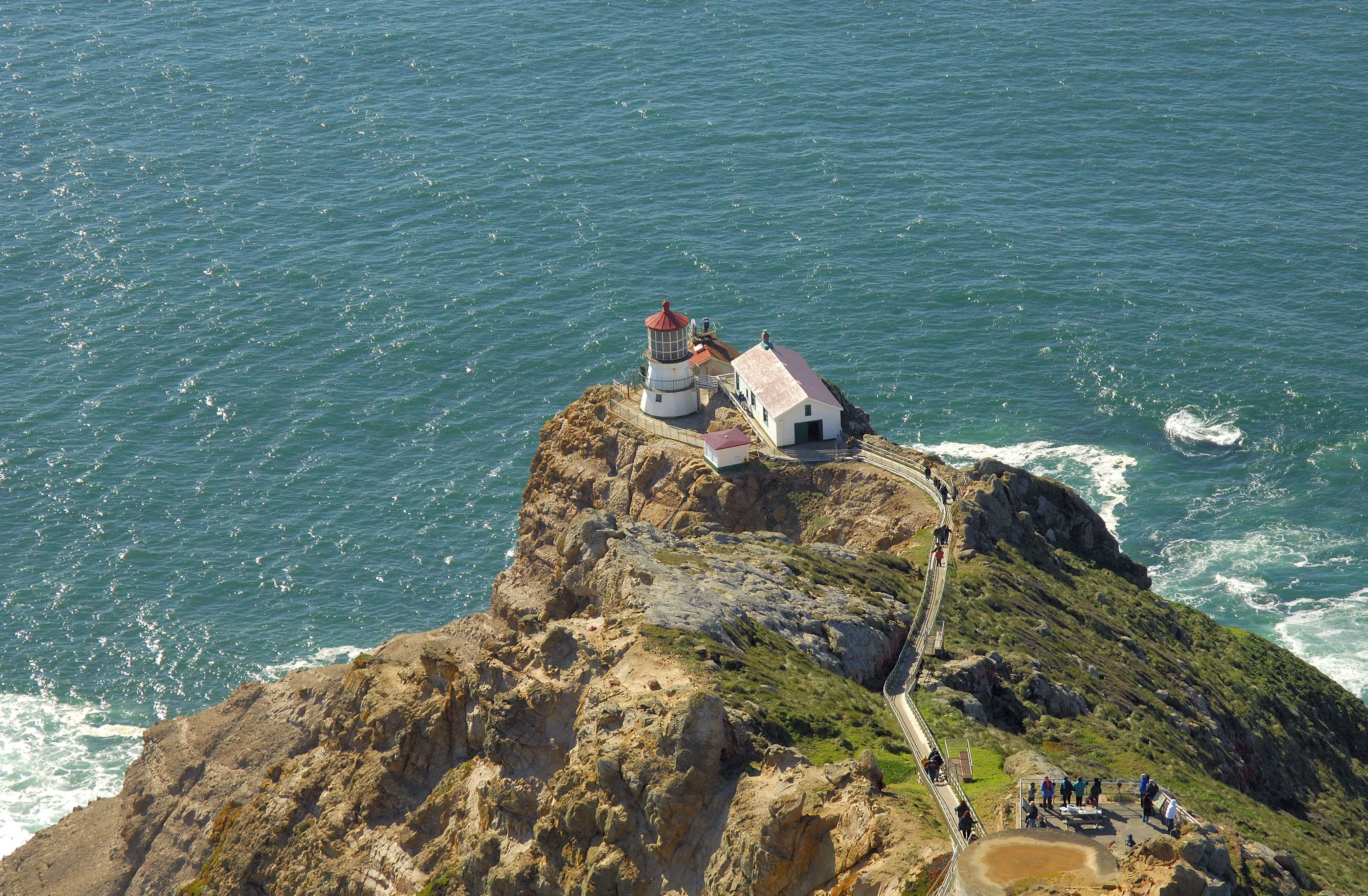
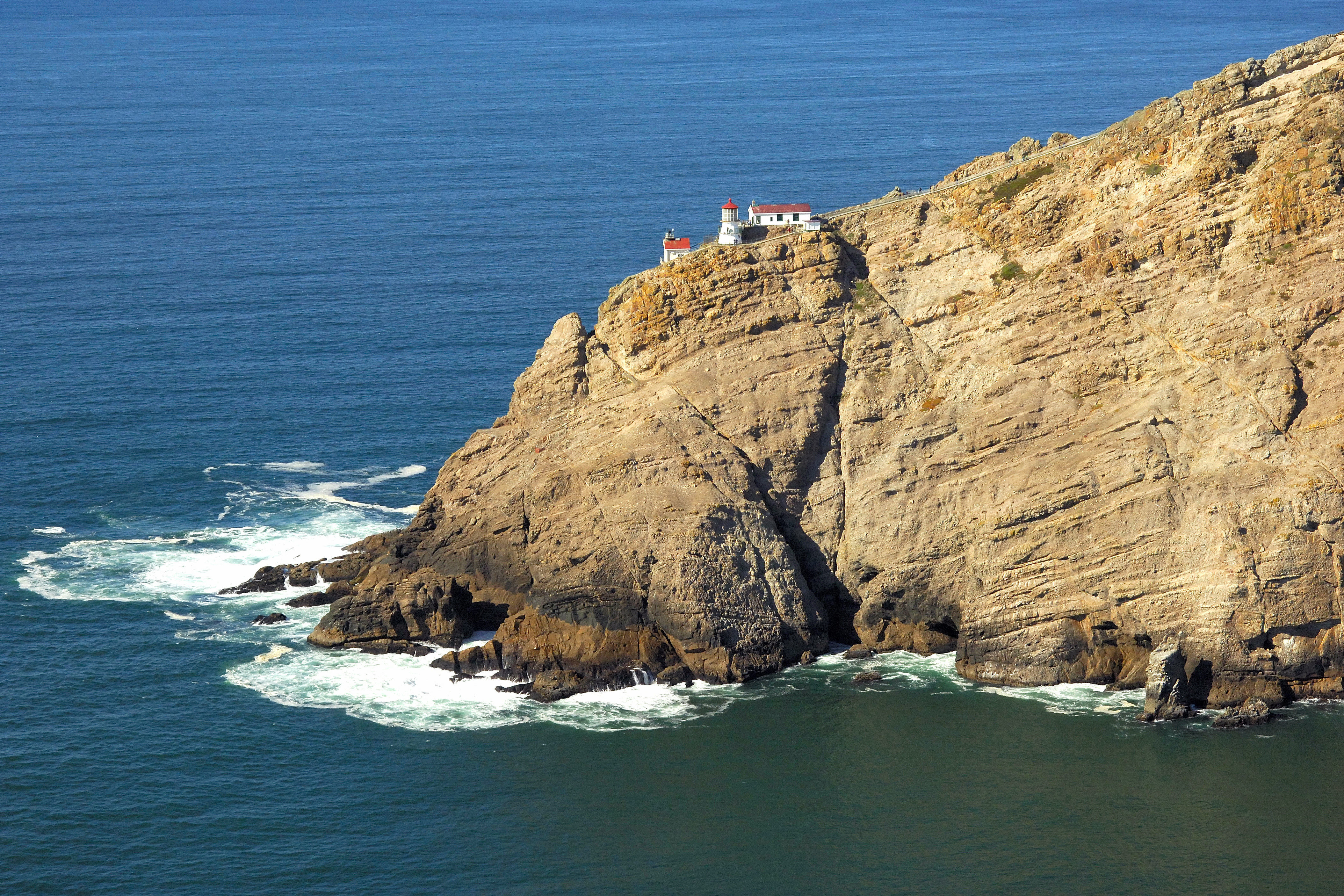
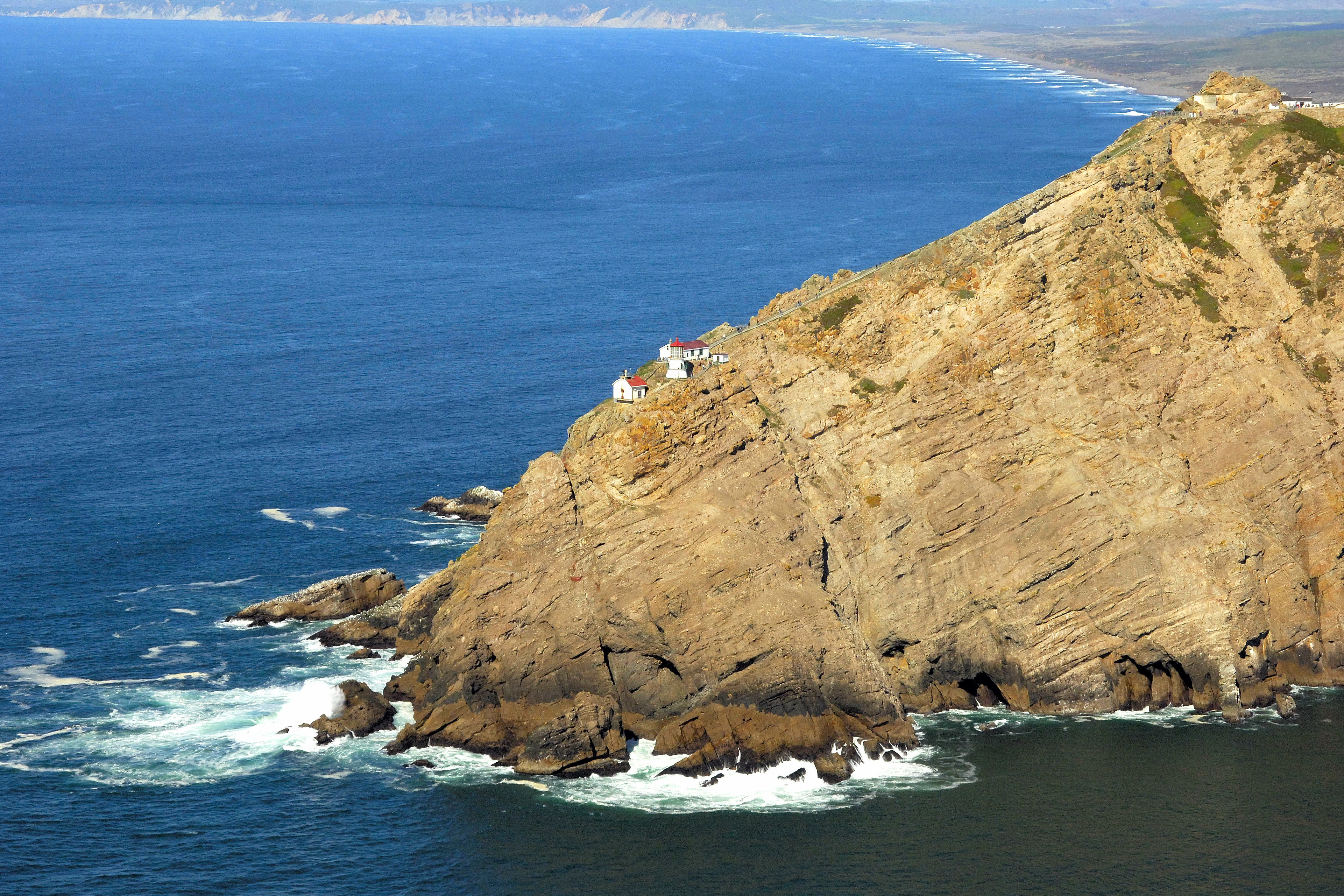
Located on a westward stretching point of land about 30 miles north of the Golden Gate Bridge, Point Reyes Lighthouse stands watch over a rugged point of land that seems to punch its way into the Pacific Ocean. The lighthouse and surrounding area are popular with visitors to the Point Reyes National Seashore.
History:
Money was approved for the construction of the lighthouse in 1854, however the lighthouse construction was not completed and the light was not lit until 1870. The USCG automated the light in 1975.
Navigating in and Around the Lighthouse:
Use NOAA Chart 18647.
Please note that this chart has soundings in fathoms. One fathom equals six feet in actual depth.
Characteristics: Flashing white every five seconds 265 feet above the water with a horn signal during periods of fog.
Local Notices to Mariners:
Local Notices to Mariners are available online from the U.S. Coast Guard.
Tour Schedule:
The lighthouse is open for tours, but has a highly variable schedule, and can sometimes be closed due to high winds. If planning a visit to the lighthouse, get in contact twith the Point Reyes Visitors Center in advance.