Punta Gorda Lighthouse
| California United States | |
| 40° 14' 57.12'', -124° 20' 56.4'' |


You might also consider...


About
Introduction:
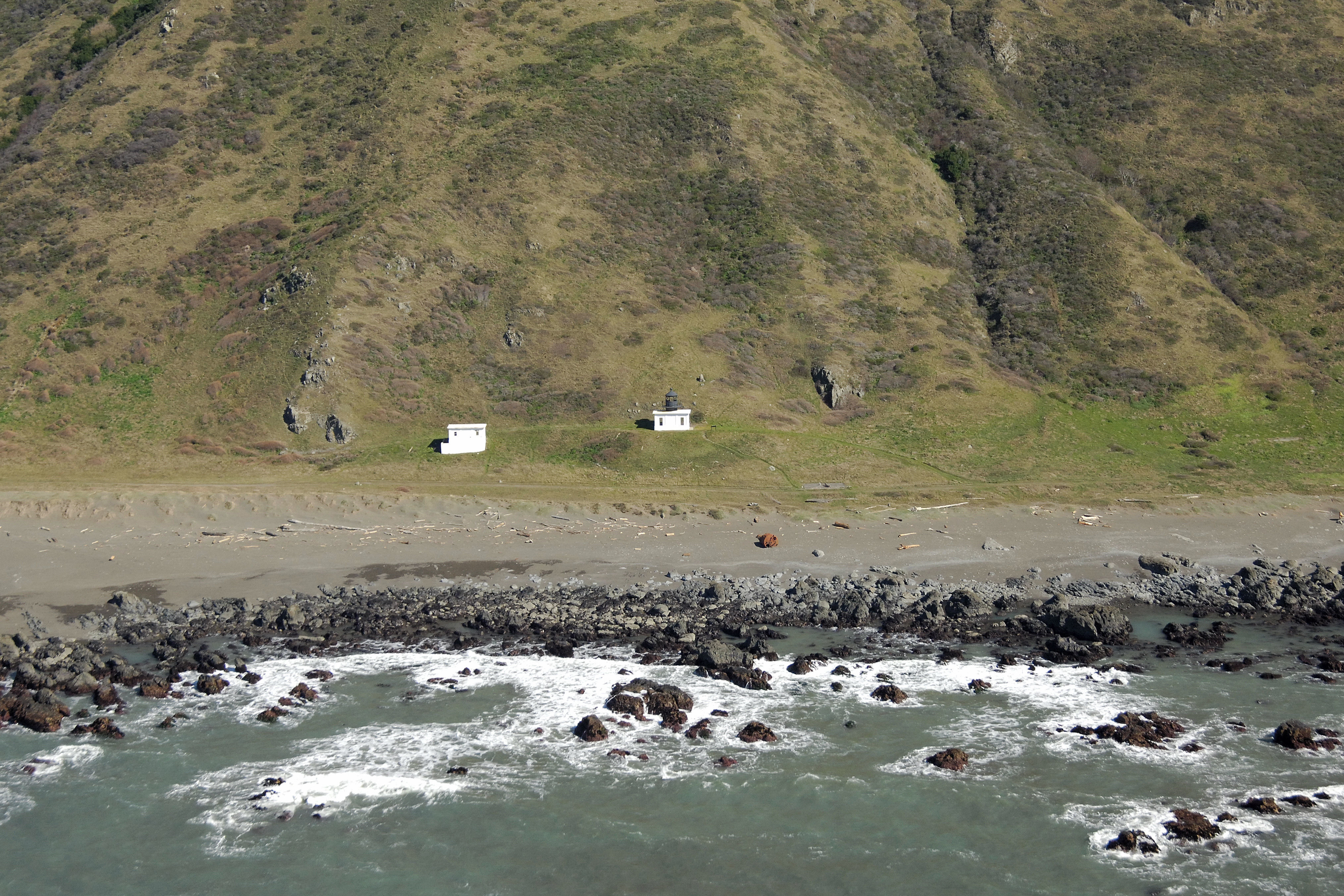
About 210 miles north of San Francisco and only around 100 miles from the Oregon border, Punta Gorda is situated on some of the most rugged and sparse areas of the West Coast. The lighthouse actually marks Gorda Rock, directly to the west of the tower, which is now abandoned.
History:
Construction began in 1910, and the lighthouse was eventually put into service in 1912. The station was declared unnecessary in 1951 and closed.
Navigating in and Around the Lighthouse:
Use NOAA Chart 18623.
Characteristics: The light is no longer in service.
Local Notices to Mariners:
Local Notices to Mariners are available online from the U.S. Coast Guard.
Tour Schedule:
The lighthouse is available to visit, but it is also a long, rugged and isolated hike to reach it. Local authorities recommend that the trip not be undertaken unless those doing so are able to be self sufficient in case of emergency.