Trinidad Head Lighthouse


You might also consider...


About
Introduction:
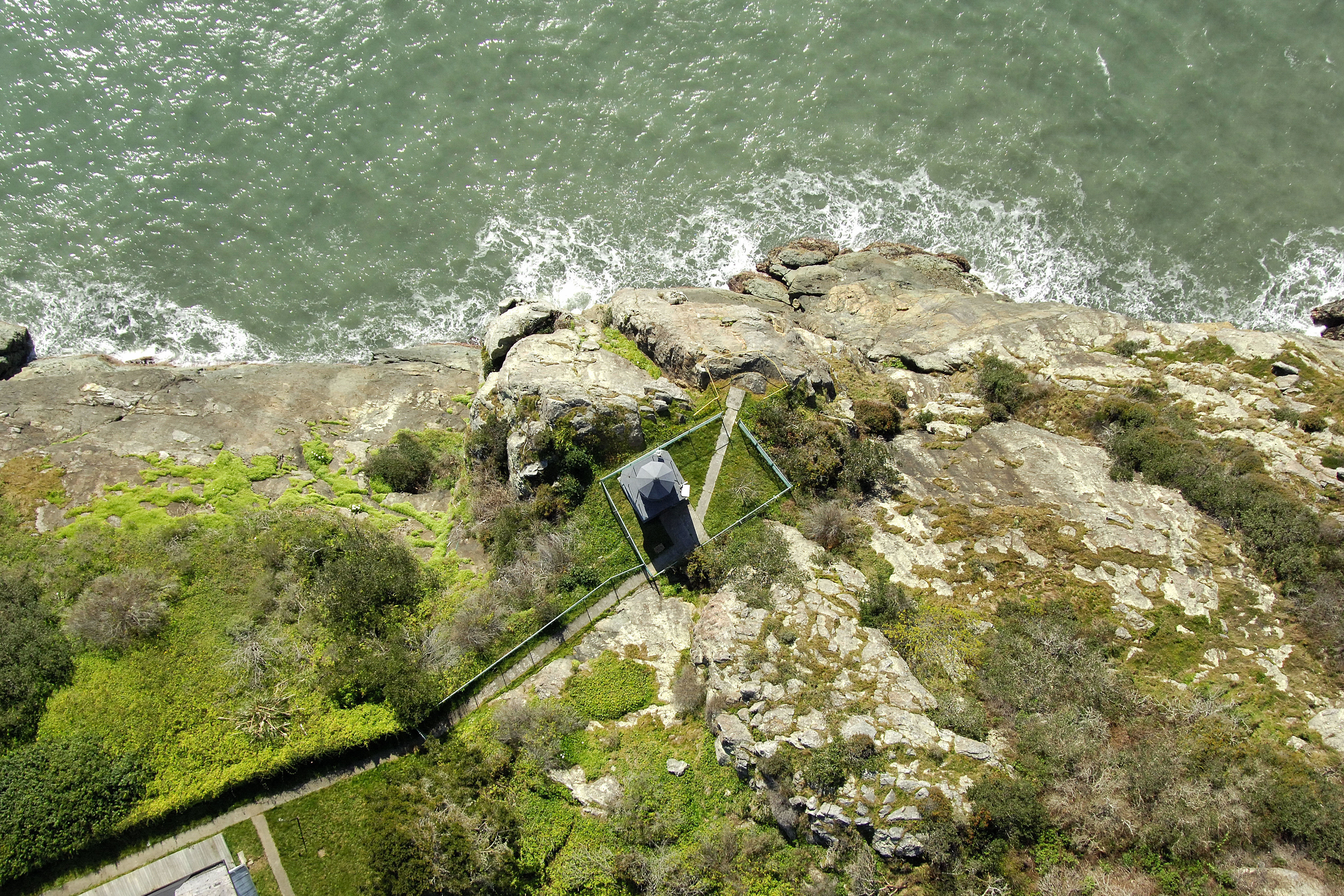
Located only 17 miles north of Humboldt Bay and the Eureka area, Trinidad Head juts out from the town of Trinidad toward the west with a top elevation of more than 350 feet. The lighthouse here casts a white beam out over the Pacific Ocean some 196 feet above the waters surface.
History:
As Trinidad became an important port for the transport of timber, the high bluffs of Trinidad head were chosen as the site for a lighthouse serving the harbor in 1871. The original 25-foot-high brick tower was lit in December of that year. The original Fresnel lens was replaced with a modern optical light in 1947, and today the light is automated.
Navigating in and Around the Lighthouse:
Characteristics: Occulting white light (four seconds) with a focal plane 196 feet above the water. Horn during periods of reduced visibility.
Weather:
Local Notices to Mariners are available online from the U.S. Coast Guard.
Local Notices to Mariners:
Local Notices to Mariners are available online from the U.S. Coast Guard.
Tour Schedule:
The original Trinidad Head Lighthouse is not accessible or open to the public, but a replica of the lighthouse is located in Trinidad and open to the public.