Northwest Power Railroad Swing Bridge
| California United States | |
| 38° 6' 46.08'', -122° 30' 7.2'' | |
| Port Sonoma |


You might also consider...


Details
| Closed vertical clearance | 7 |
About
Introduction:
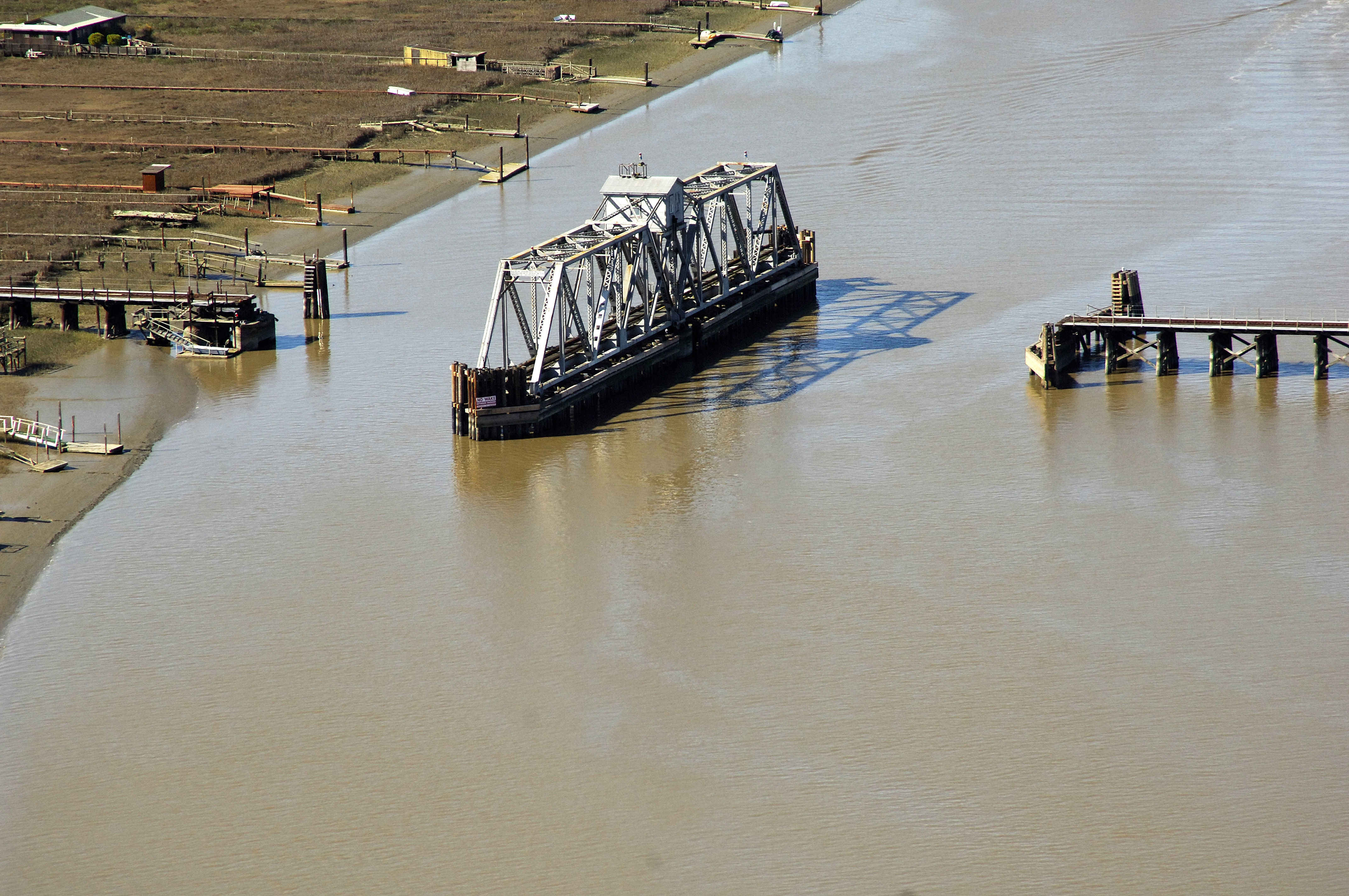
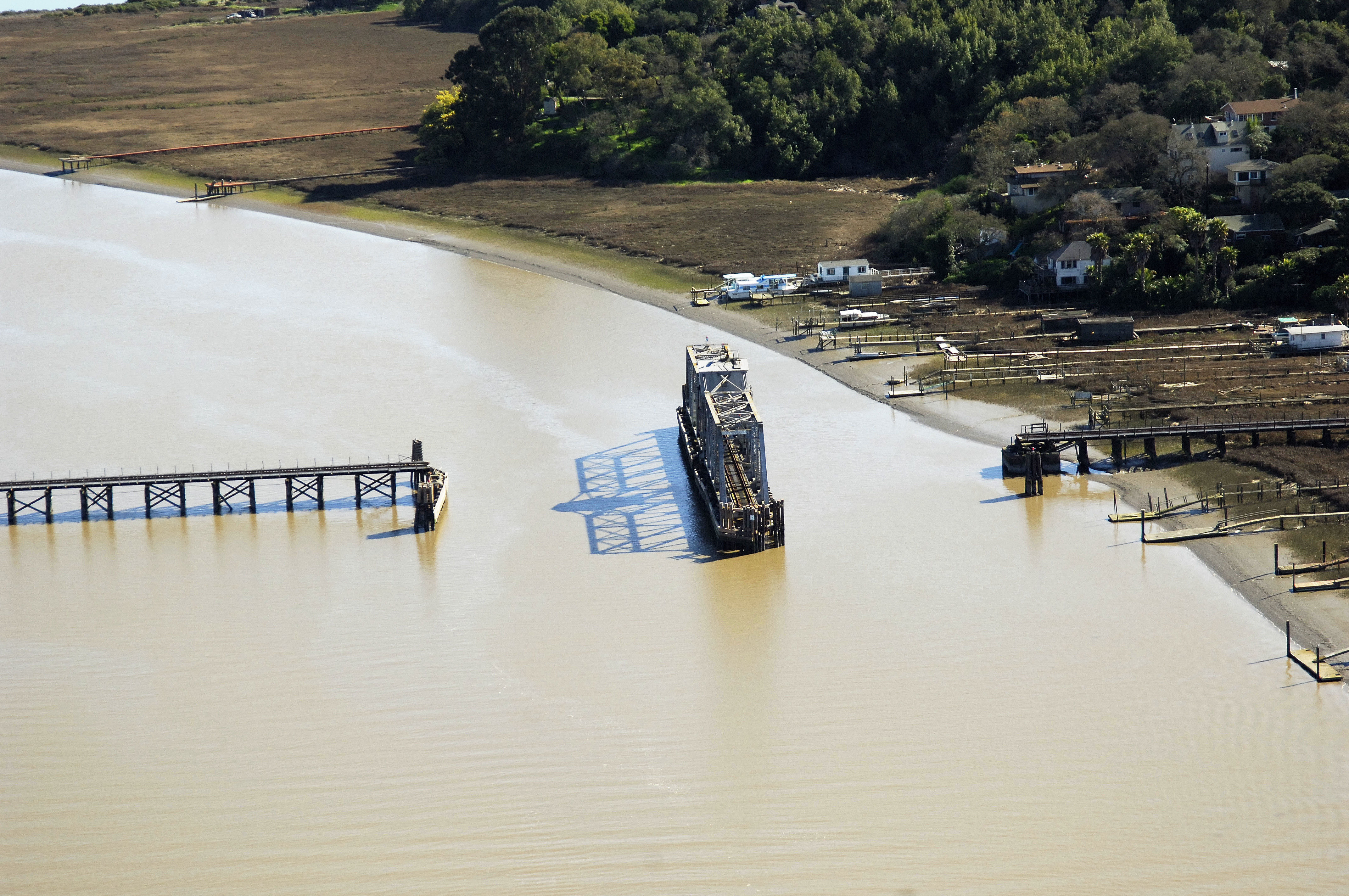
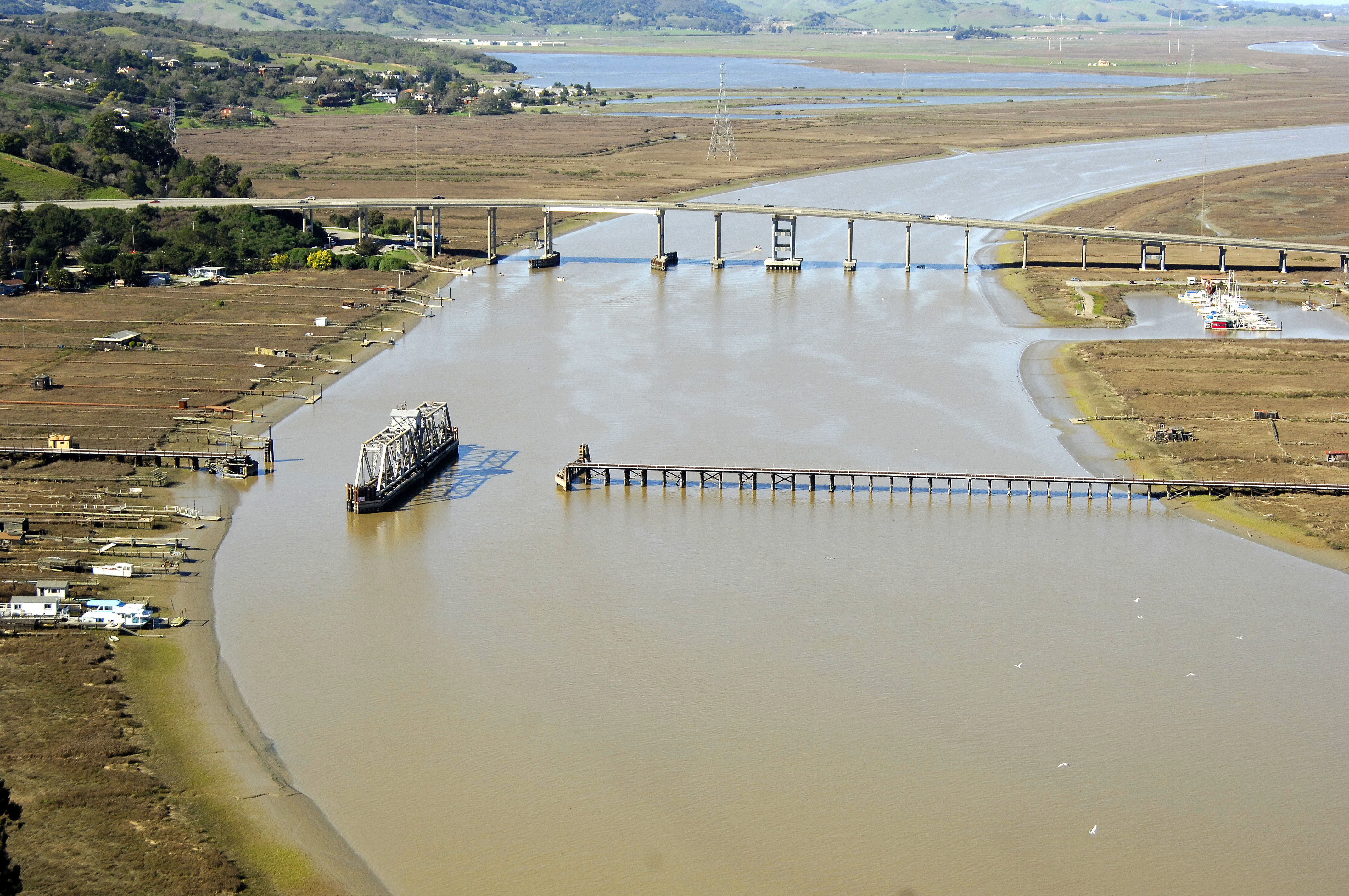
One of the first two bridges at the mouth of the Petaluma River where it empties into San Pablo Bay, the Northwest Power Railroad bridge is used primarily by rail cars carrying coal for a local electricity plant. The bridge is normally left in the open position except when rail traffic is approaching.
Navigating the Bridge:
Use NOAA Chart 18654.
Characteristics: The bridge has a closed vertical clearance of 7 feet with 110 feet of horizontal clearance at the center span.
The Petaluma River is reached via a long, well marked but fairly shallow channel off of San Pablo Bay (six-foot depths). Once past the Petaluma River Delta shoals, the depths increase to about eight feet near the bridge.
Bridge Schedule:
The bridge is left open (see image above for reference) except in the case of approaching rail traffic.
Local Notices to Mariners:
Local Notices to Mariners are available online from the U.S. Coast Guard.