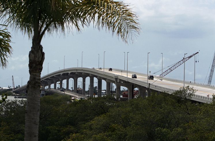
Belleair Causeway Bridge
| Florida United States | |
| 27° 55' 0.12'', -82° 49' 54.85'' | |
| Clearwater |


You might also consider...

29 Reviews
Greetings,
“Madeira Beach Moorings” Yacht Harbor & Resort, formerly Madeira... Read More
1 Review
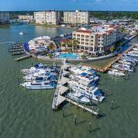
26 luxury, deep water boat slips make up the beautiful Harborside Marina comm... Read More

315 Reviews
**Due to damages sustained during hurricanes Helene and Milton, the Fuel Dock... Read More
Details
| Bridge type | Fixed |
| Closed vertical clearance | 74' |
About
Local Notices to Mariners:
Local Notices to Mariners are available online from the U.S. Coast Guard.
Introduction:
Belleair Causeway Fast Facts Originally opened as low level two-lane drawbridge in 1950 Tolls were collected until sometime in the late 1970's Replaced by high level two-lane bridge in 2009; new bridge opened in 2010 Highway carried: West Bay Drive/Causeway Blvd., as Pinellas County Road 416 Locale: Belleair Beach-Belleair Bluffs
Reviews
No reviews yet! Be the first to write a review of Belleair Causeway Bridge.