Petaluma Swing Bridge
| California United States | |
| 38° 13' 39.0'', -122° 36' 50.39'' | |
| Port Sonoma |

You might also consider...

65 Reviews
Boating and water sports were popular in the Napa Valley long before it becam... Read More

20 Reviews
The City of Vallejo Municipal Marina is at the north end of the Downtown Mari... Read More

23 Reviews
Antioch Municipal Marina offers one of the best locations on the California D... Read More
Details
| Closed vertical clearance | 4 |
About
Introduction:
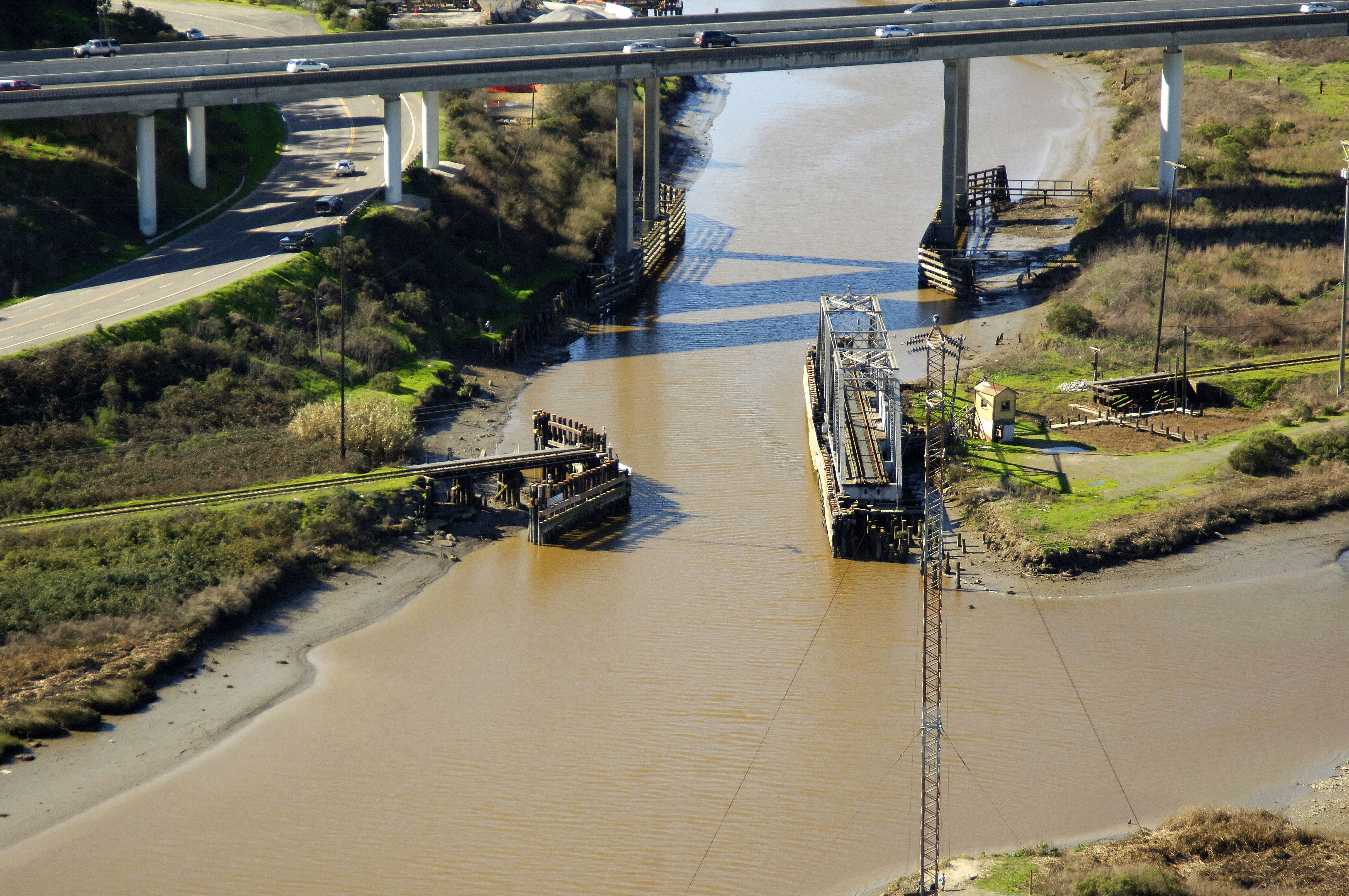
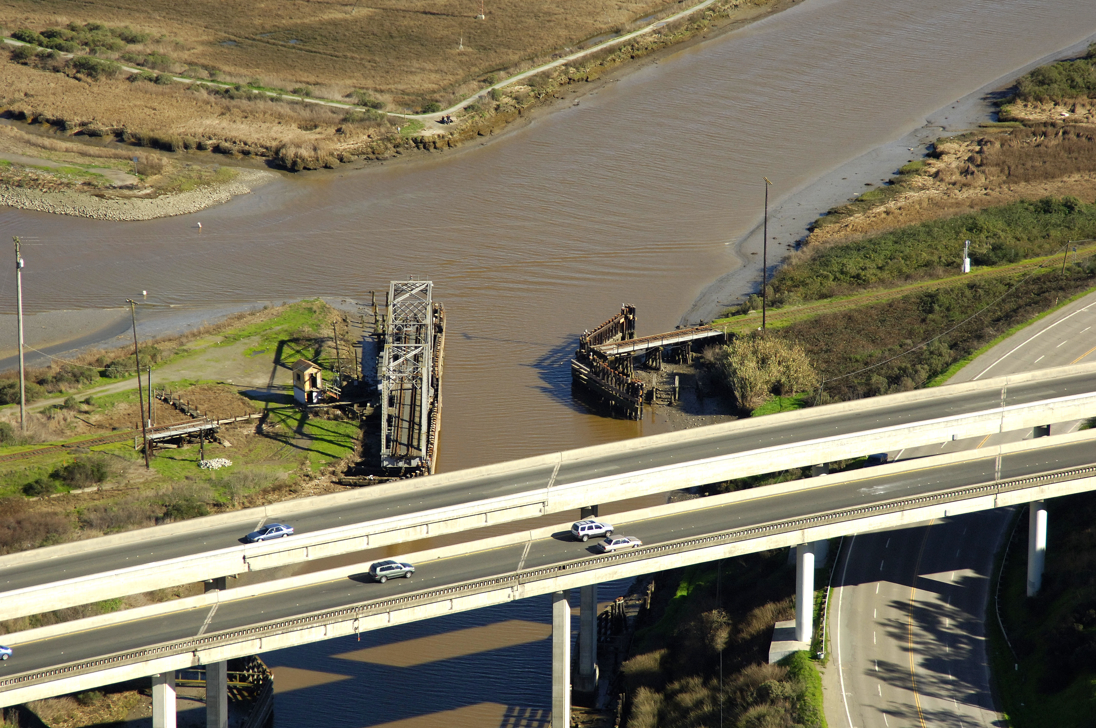
One of three bridges within the town of Petaluma, the Petaluma Railroad Swing Bridge crosses the Petaluma River first, before the 70-foot fixed vertical clearance fixed bridge, and the Mc Near Canal bridge farther on.
Navigating the Bridge:
Use NOAA Chart 18654.
Characteristics: The bridge has a four-foot closed vertical clearance with 54 feet of horizontal clearance in the center span.
Bridge Schedule:
The bridge remains open at all times unless rail traffic is approaching.
Local Notices to Mariners:
Local Notices to Mariners are available online from the U.S. Coast Guard.
Reviews
No reviews yet! Be the first to write a review of Petaluma Swing Bridge.