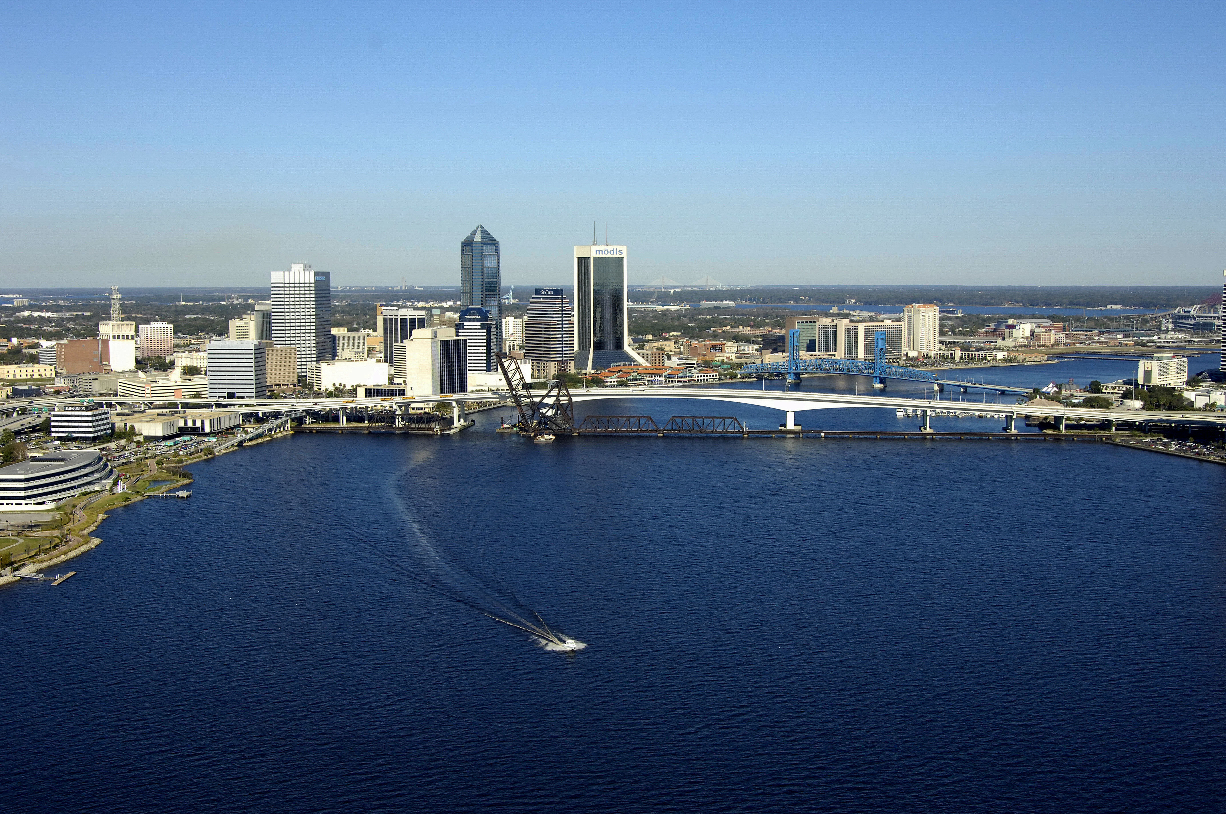
Jacksonville Florida East Coast (FEC) Railroad Bridge
| Jacksonville, Florida United States | |
| 30° 19' 18.12'', -81° 39' 51.12'' | |
| Jacksonville |


Details
| Bridge type | Bascule |
| Closed vertical clearance | 5' |
| Vhf | 9 |
| Schedule | Usually open, except for the passage of trains. |
About
Navigating the Bridge:
Use NOAA Chart 11491.
Bridge Schedule:
The bridge is left in the open position at all times, unless rail traffic is approaching, and then the span will automatically close until the traffic has passed.
Local Notices to Mariners:
Local Notices to Mariners are available online from the U.S. Coast Guard.
Reviews
No reviews yet! Be the first to write a review of Jacksonville Florida East Coast (FEC) Railroad Bridge.