Sabine River Inlet
| Louisiana United States | |
| 29° 59' 26.88'', -93° 47' 9.97'' |


About
Introduction:
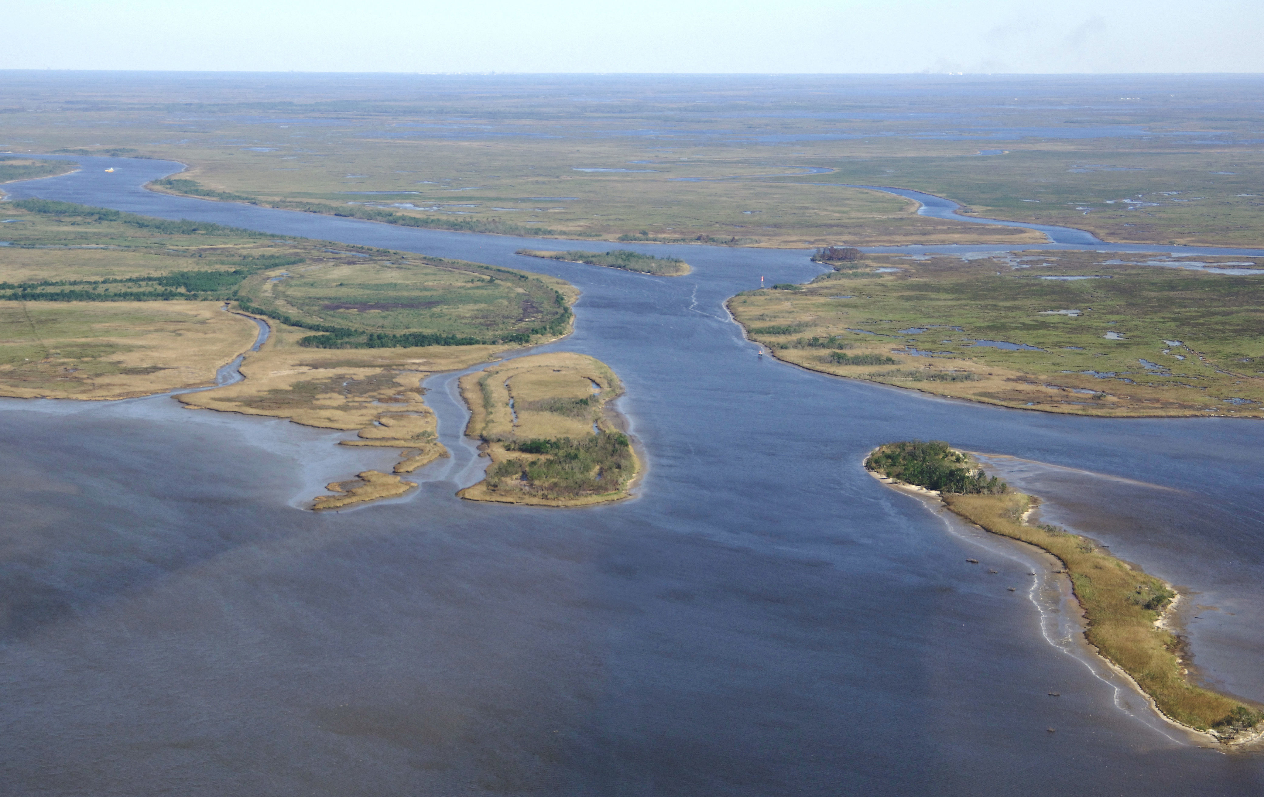
The image above is a view to the east over the Sabine River and the Gulf Intracoastal Waterway (GIWW) near Mile Marker 272, about five miles east of the Neches River Inlet in Port Neches and 8 miles southwest of Orange.
Though facilities in the area are fairly slim, you can find marinas around the Town of Orange, or farther on near Port Arthur. Most port areas in this neck of the woods are geared toward oil, cargo or commercial fishing (shrimp) industries. The Robert E. Bailey Marina, however is located just off the GIWW route north of flashing green 69 and Sydnes Island, but the approach draft limits boats with drafts of three feet or less.
Navigating the Water:
Use NOAA Chart 11331.
Exiting the Sabine River to the west, a range (N) is visible from the west shore of Lake Sabine across the GIWW Route to help guide you west across the narrow cut of water from the Sabine River Inlet past a long line of flashing and unlighted markers toward Sydness Island, Stewts Island, and then north into the Neches River or south with the GIWW toward Port Arthur.
Making your way toward the Sabine River Inlet from the Neches River, range O guides you on a course of about 067 degrees magnetic for a distance of 5.2 miles till you enter the official inlet area.
Local Notices to Mariners:
See our Local Notices to Mariners blog for updates on the latest conditions and advisories for this area.