Apalachicola Inlet
| Apalachicola, Florida United States | |
| 29° 43' 27.12'', -84° 58' 40.07'' | |
| Apalachicola |


About
Introduction:
Known for its famous Apalachicola Bay oysters, the town of Apalachicola is an important pit stop on the Gulf Intracoastal Waterway north of Saint George Island. Apalachicola is 50 miles southeast of Panama City and 25 miles west of Dog Island and Carrabelle.
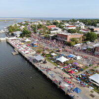
Ashore, Apalachicola is an interesting area to explore. Along the waterfront you will find lines of oystering and fishing boats in a typical southern fishing port scene. Inside the town are many historic homes along moss-draped streets. For provisioning, the grocery store is about 12 blocks from the marinas, so you may want to bring along bags or a cart for carrying.
Navigating the Water:
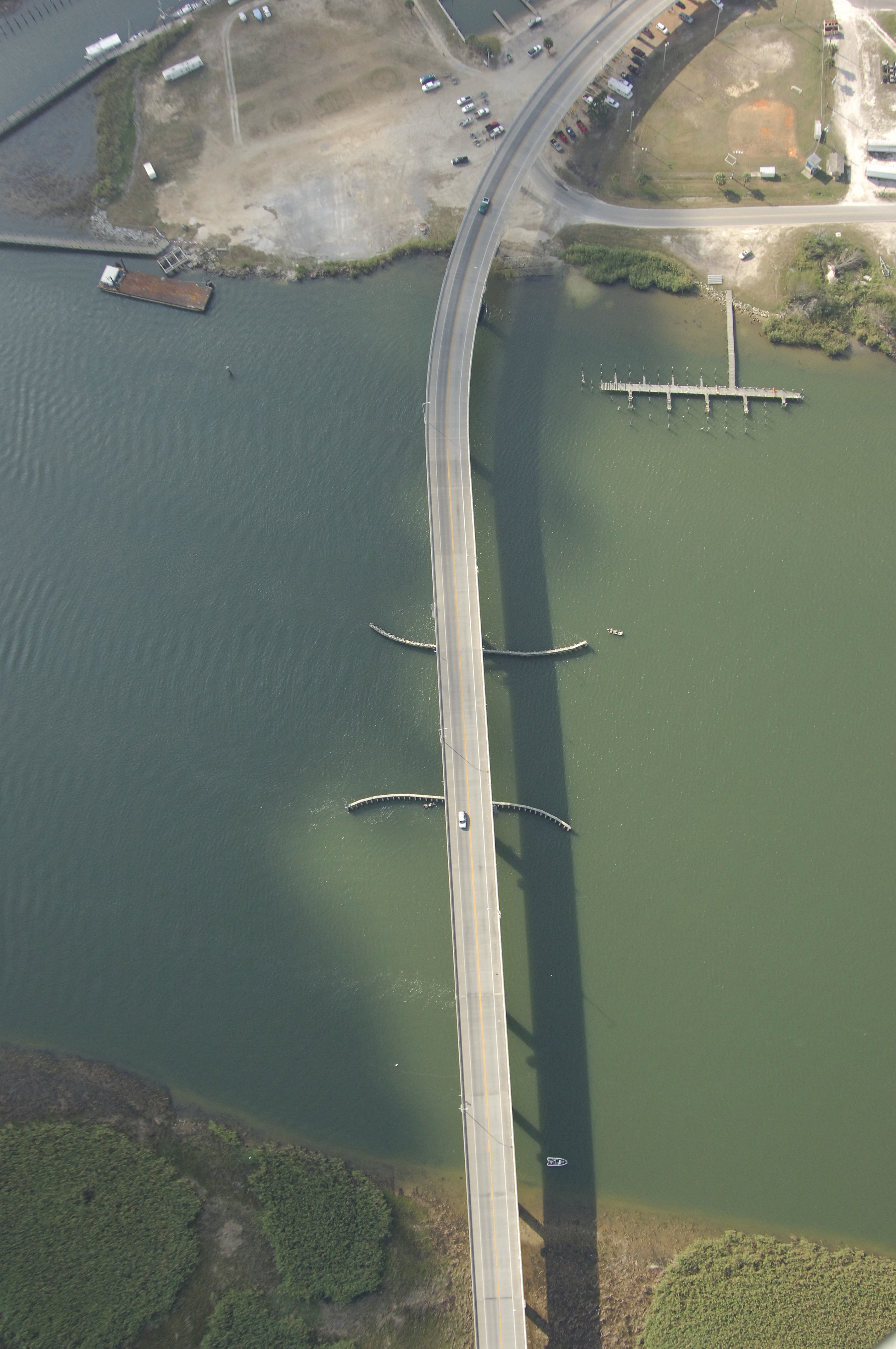
Apalachicola and the Apalachicola River are approached from the south via Apalachicola Bay. From Apalachicola Bay near Gulf Intracoastal Waterway Mile 355, pick up green can 1 and flashing red 2 at the beginning of the approach channel to Apalachicola. Once you have cleared the initial approach buoys, proceed north along the well-marked channel, making especially sure to honor green cans 13 and 15, as they mark a shoal that encroaches from the west.
As you get closer to the river entrance, you will see a 65-foot fixed vertical clearance bridge that leads into Apalachicola-proper. Proceed in farther past green can 15, taking special care at red nuns 20, 22, and 24, as they mark an extensive shoal that extends southward from Towhead Island.
Once clear of the bridge inside the Apalachicola River you will find an excellent variety of marine facilities along the town waterfront to port. There are six marinas in the area, and all but one make transient space available for visiting boaters. Gas and diesel fuel are available at two marinas, and two other facilities have lifts for haul-outs and repairs.
Local Notices to Mariners:
Local Notices to Mariners are available online from the U.S. Coast Guard.