Big Marco Pass Inlet
| Marco, Florida United States | |
| 25° 58' 24.6'', -81° 44' 34.79'' | |
| Marco Island Harbor |

You might also consider...


About
Introduction:
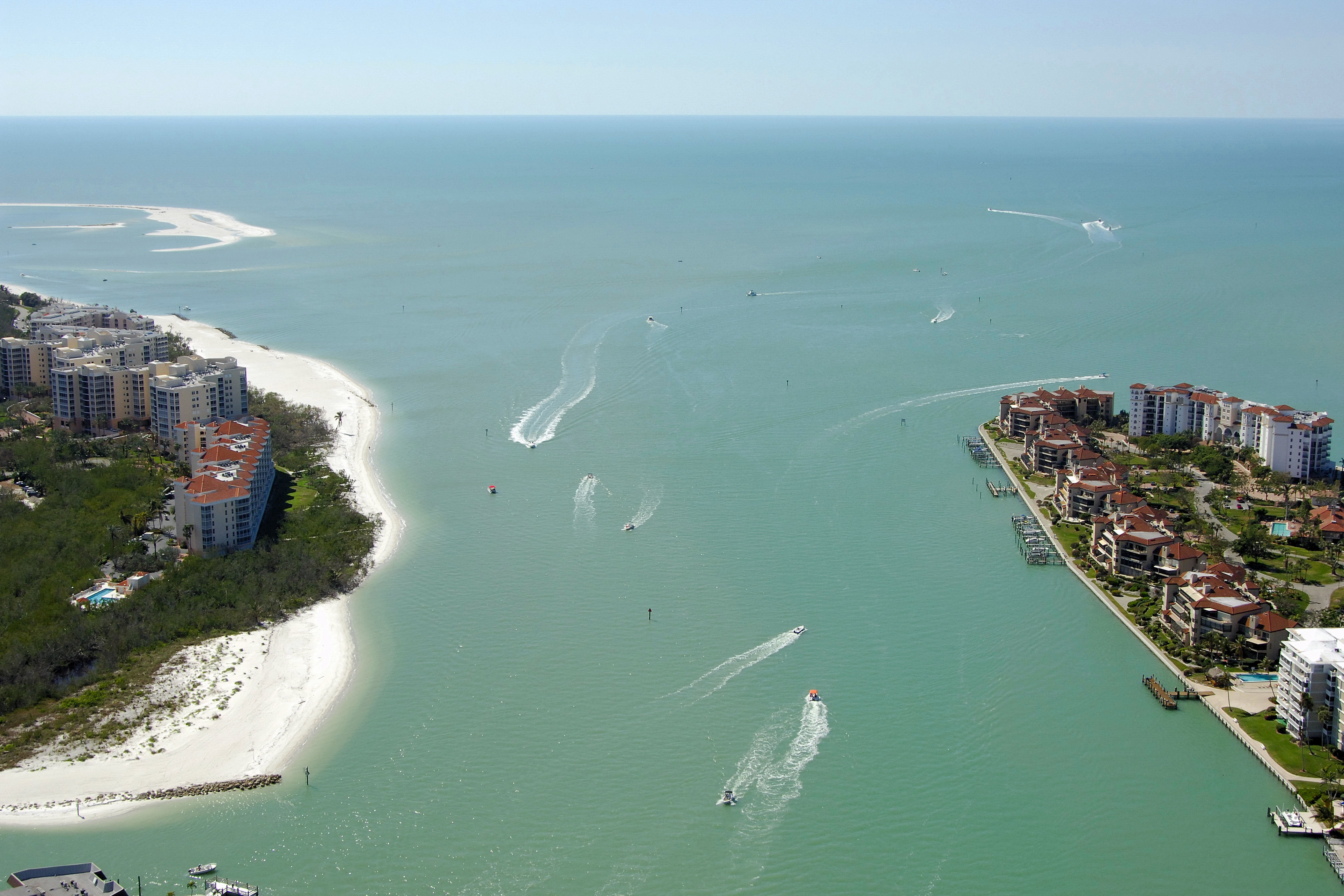
Two inlets make their way past Marco Island on its north end: Marco Pass and Capri Pass. Marco Pass, discussed here, runs from the Gulf of Mexico past South Point, behind Coconut Island, meets up with Capri Pass, and then works its way all the way back to Sanctuary Sound.
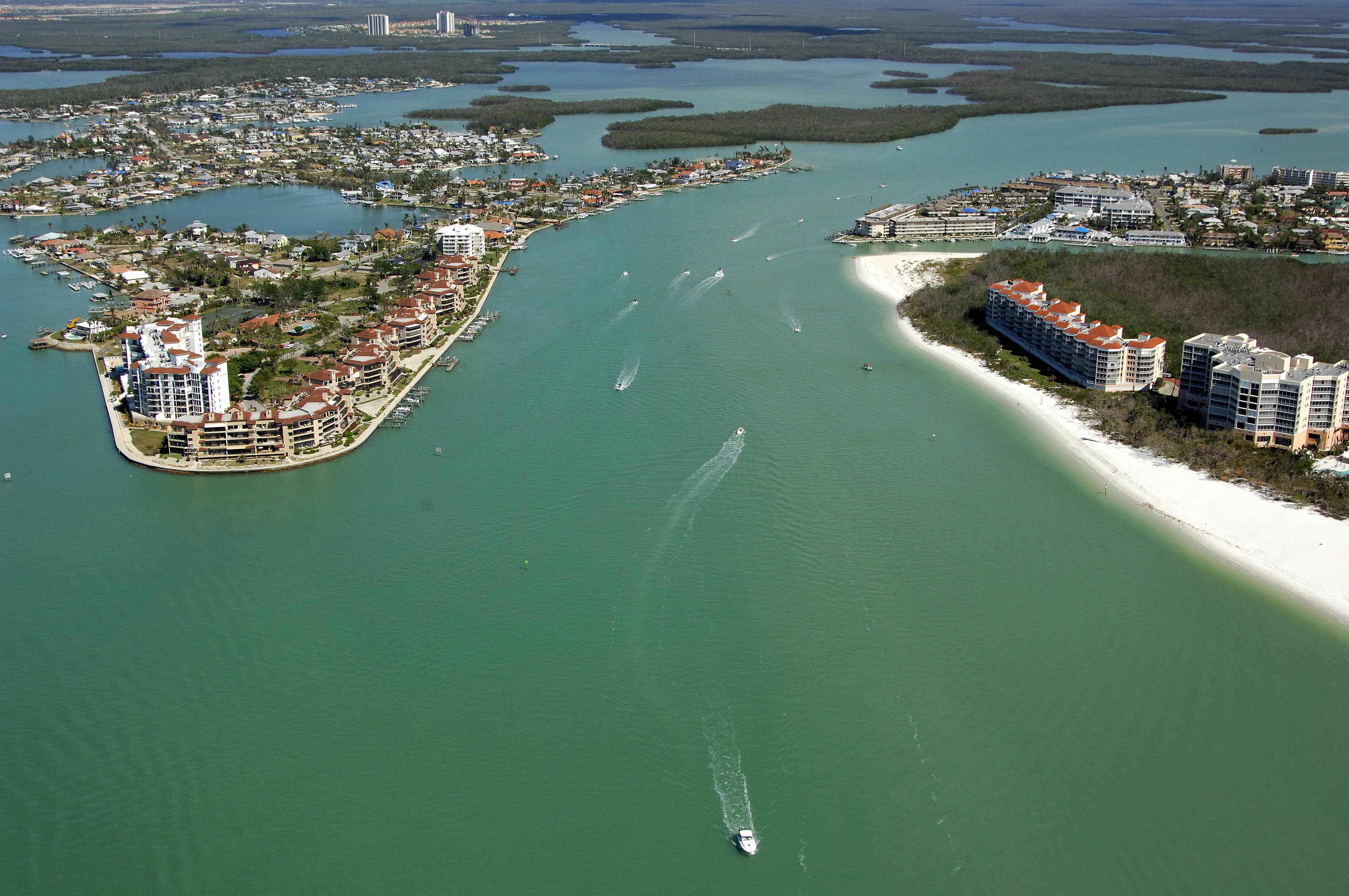
The image above is a view from the east looking west over the inner portion of Big Marco Pass where it crosses the northern tip of Marco Island. To the left (north are the Isles of Capri and the Capri Pass Inlet, while off to the right (south) side of the image you can see the inlet to Collier Bay just beyond the condominium buildings with the red roofs.
Navigating the Water:
Use NOAA Chart 11430.
Big Marco Pass is considered impassable on its outer approach due to severe shoaling along the northwest end of Marco Island. Capri Pass is a better bet, and you can join up with the deeper eastern end of Marco pass just east of Coconut Island. Past Coconut Island, you can follow the pass around into Collier Bay, or Sanctuary Sound farther east
Local Notices to Mariners:
Local Notices to Mariners are available online from the U.S. Coast Guard.