Carthagena Creek Inlet
| Drayden, Maryland United States | |
| 38° 9' 6.84'', -76° 28' 15.96'' | |
| Smith Creek |


You might also consider...


About
Introduction:
Carthagena Creek is located off the St. Marys River on Marylands Western Shore about 10 miles northwest of Point Lookout (at the mouth of the Potomac) and 28 miles down river from Colonial Beach, which is on the Virginia Side of the Potomac River.
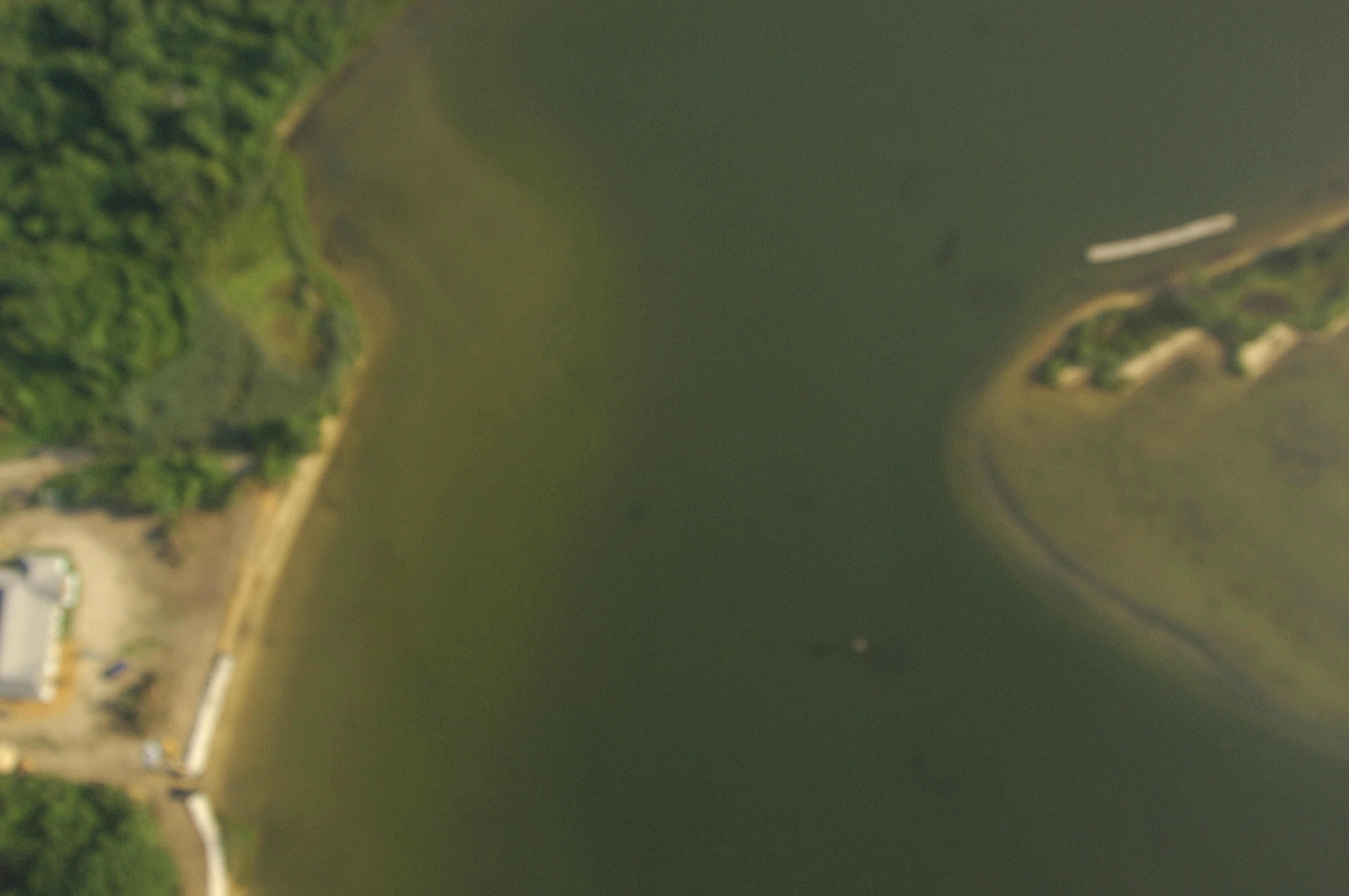
The image above is a view from the south looking north over the mouth of Carthagena Creek were it empties into the St. Marys River. On the right side of the creeks opening Josh Point is visible, while farther up the creek on the right side is Dennis Point and the Dennis Point Marina. The small bend of land in the bottom portion of the image with the long dock extending off of it is Coade Point.
Dennis Point Maria is the only facility on Carthagena Crek, but they gladly accept transient guests at their slips, have gas and diesel fuel, and also have marine supplies, ice, groceries, and a lift for haul-outs and related repairs. There are a few places you can drop the hook in the creek, but make sure you are out of the way of any boat traffic channels.
Navigating the Water:
Use NOAA Chart 12285.
From the St. Marys River east of Edmund Point (about 3.5 miles from where the St. Marys empties into the Potomac), set a course to pick up flashing green 1, which is located near waypoint N338 08.368 W76 27.305. Once you have arrived in the area of flashing green 1, set an approximate course of 331 degrees magnetic for about .5 mile where you will find green daybeacon 1.
Farther in on the same approximate course to the northwest is green daybeacon 3, and then flashing red 4 at the east and of the opening into Carthagena Creek. Once you have rounded Josh Point and flashing red 4, you can head toward green daybeacon 5 to Dennis Point and the Dennis Point Marina.
Local Notices to Mariners:
Local Notices to Mariners are available online from the U.S. Coast Guard.