Crab Alley Creek South Inlet
| Dominion, Maryland United States | |
| 38° 55' 50.89'', -76° 17' 30.13'' | |
| Crab Alley Creek |


About
Introduction:
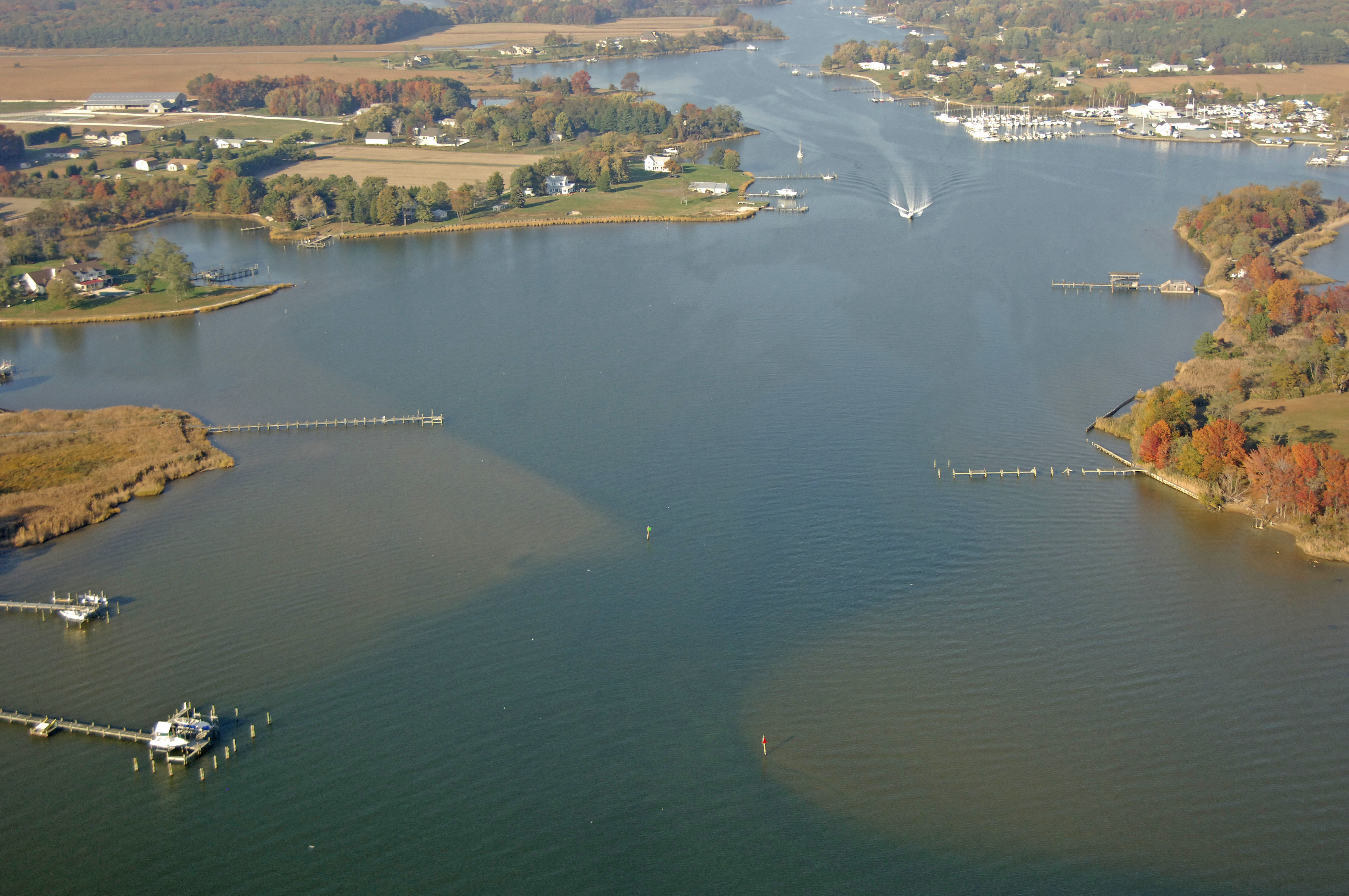
Crab Alley Creek is located at the head of Crab Alley Bay near the top of Eastern Bay off of Chesapeake Bay on Marylands Eastern Shore. Crab Alley Bay and Creek both got their names from the abundance of the local Maryland Blue Crabs in the waters here. You will often see the classic white work boats hauling their traps or tending their trotlines in the area during the summer months.
This view is of the southern approach at Johns Island before the juncture of Little Creek and Crab Alley Creek.
Navigating the Water:
Use NOAA Chart 12270.
Crab Alley Bay and Crab Alley Creek Inlet are located north of Tilghman Point in Eastern Bay. Flashing red buoy 4 is the mid-bay mark for Eastern Bay. From this point, head north to green can 1, and then to green daybeacon 3 and red daybeacon 4. Crab Alley Creek is tucked behind Johnson Island, and red daybeacon 8 and green daybeacon 7. There is a marina at the mouth of the creek, and one can find eight- to ten-foot depths farther upstream.
Local Notices to Mariners:
Local Notices to Mariners are available online from the U.S. Coast Guard.