Galloway Creek Inlet
| Bowleys Quarters, Maryland United States | |
| 39° 17' 54.96'', -76° 22' 47.99'' | |
| Galloway Creek |


You might also consider...


About
Introduction:
Galloway Creek is located on the north shore of Middle River, which is locate on Marylands upper Eastern Shore. Galloway Creek and Middle River are nine miles north of Baltimore and 30 miles southeast of the C&D Canal. The area is conveniently situated for a quick off-Chesapeake stop for boaters preparing a transit of the C&D Canal northbound.
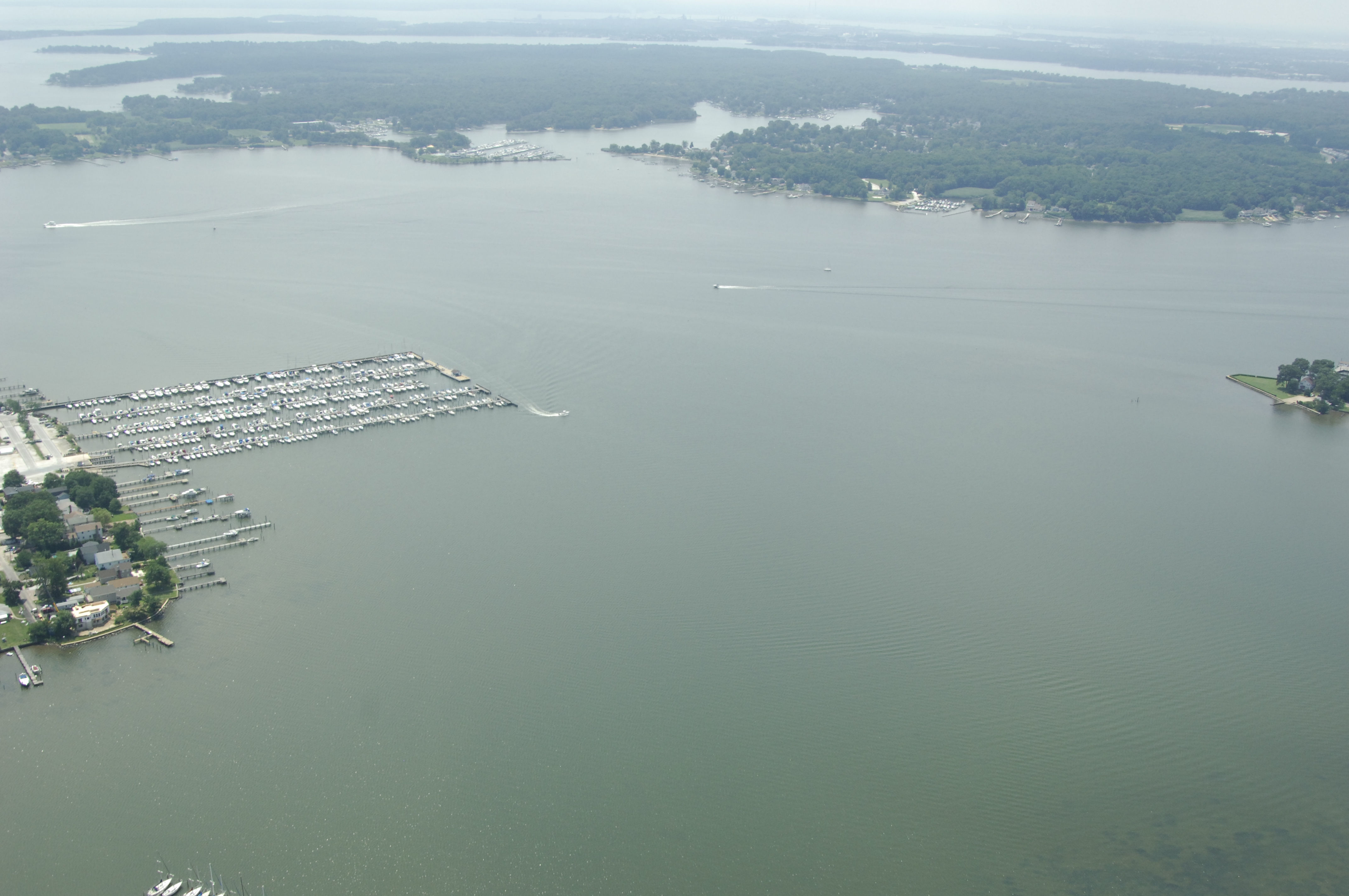
The image above is a view from the southwest looking northeast over the opening of Galloway Creek. To the right (east) in the image is the Bowleys Marina, which has transient slips, gas and diesel fuel, and a lift for haul-out and related repairs. Just a little farther up the bay next to Bowleys Marina is Galloway Creek Marina, which specializes specifically in haul-outs and repairs; no transient slips are available here.
Navigating the Water:
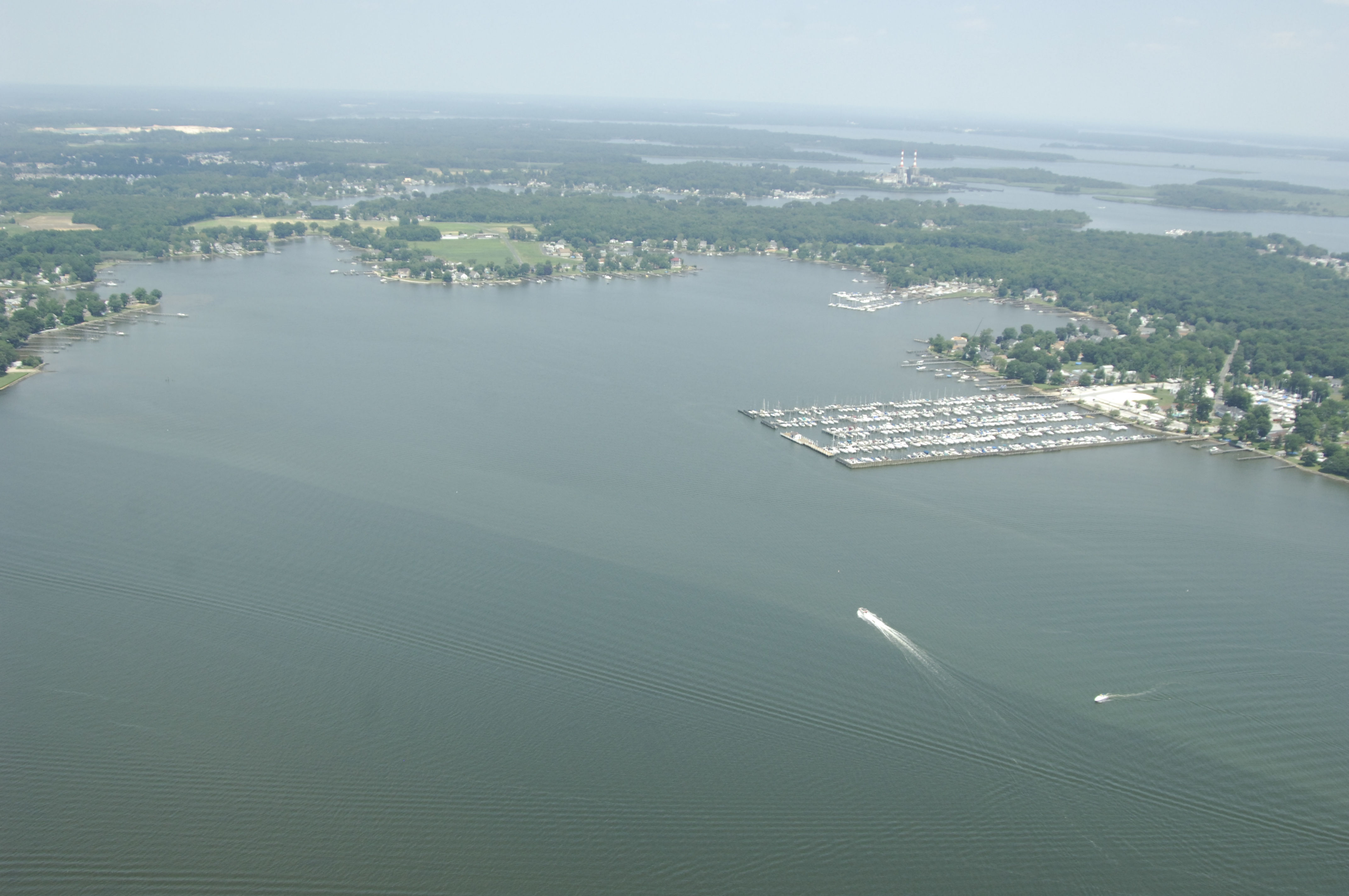
Use NOAA Chart 12278. Middle River and Galloway Creek are reached on an approach from the east via Chesapeake Bay. From the Chesapeake Bay, first set a course for quick flashing green buoy 1, which is located at an approximate waypoint of N39 16.253 W76 20.024. Once you have intercepted quick flashing green buoy 1, set an approximate course of 311 degrees magnetic for about 1.6 miles to meet flashing green buoy 3, and then a little farther on, flashing green 5.
From flashing green 5,head northwest to flashing red 6, and then set a course toward the privately maintained, unnumbered flashing red light at the southern end of Bowleys Marina (the light is mounted on one of the marinas bulkheads). Make sure you are well west of flashing red 6 before you turn north into Galloway Bay, however, the Bowley Bar Shoal extends a little past the flashing red 6 pole. Depths in most of the creek are about five to six feet.
Local Notices to Mariners:
Local Notices to Mariners are available online from the U.S. Coast Guard.