Glebe Bay Inlet
| Edgewater, Maryland United States | |
| 38° 56' 9.96'', -76° 31' 48.0'' | |
| Annapolis - Back Creek |


You might also consider...


About
Introduction:
Located on the shores of the South River and Glebe Bay, the town of London (today known as London Towne) was founded in 1684 in an attempt to encourage commercial development and control trade for the purpose of taxation. Virtually all of the other towns failed while London grew and became a thriving port The last visible remnant of this once bustling seaport is the house that was built by William Brown in about 1760 near Larrimore Point.
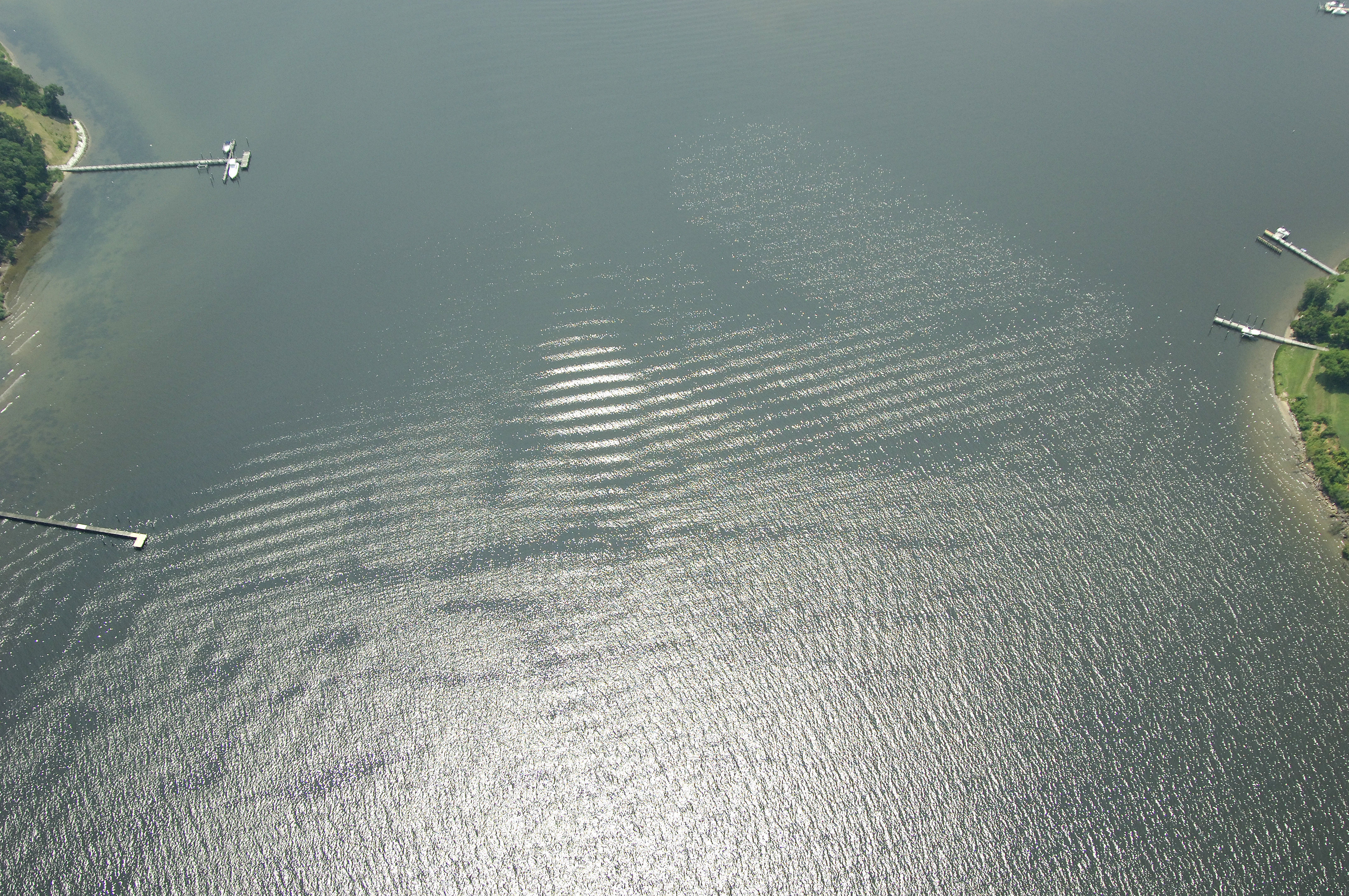
Glebe Bay is a major tributary off of the South River about four miles in from the mouth of the river itself.
Navigating the Water:
Use NOAA Chart 12270.
After clearing green daybeacon 9 at Mayo Point, set a course for flashing green 11 near Cedar Point at the mouth of Glebe Bay. Once inside, you will find 11- 16-foot depths, a marina and room for anchoring.
Local Notices to Mariners:
Local Notices to Mariners are available online from the U.S. Coast Guard.