Long Haul Creek Inlet
| Saint Michaels, Maryland United States | |
| 38° 47' 53.89'', -76° 12' 51.13'' | |
| St. Michaels |


You might also consider...


About
Introduction:
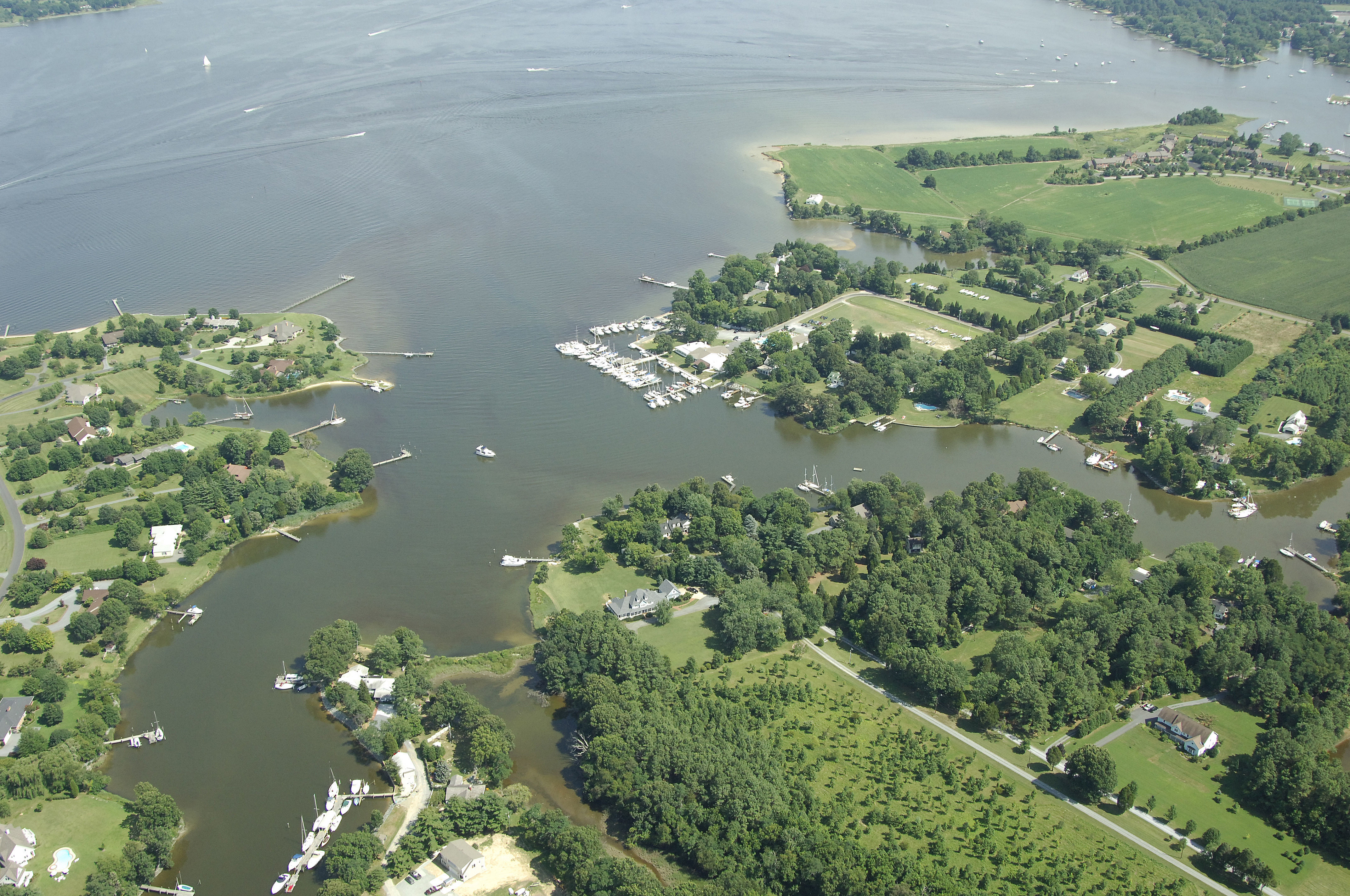
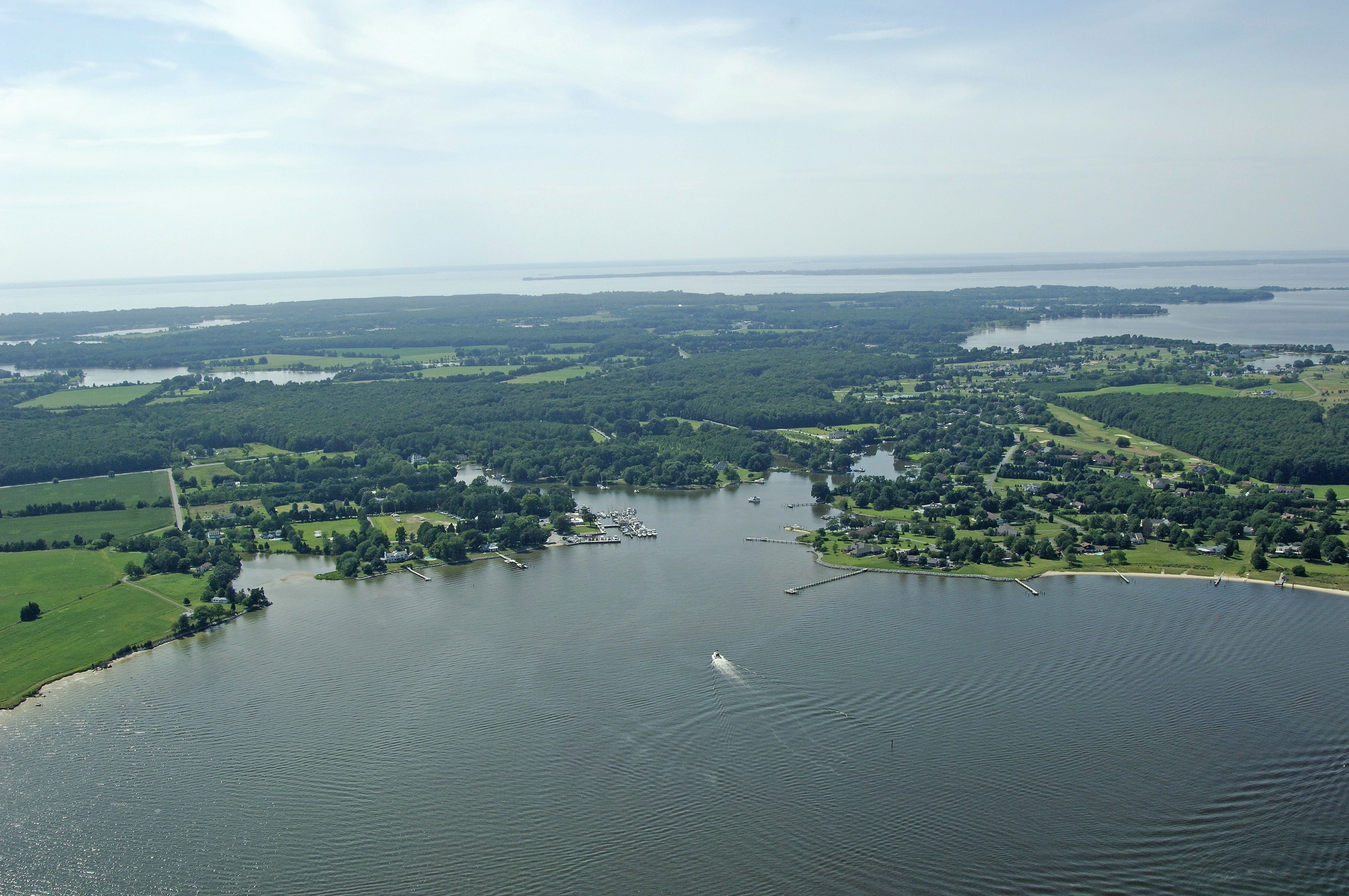
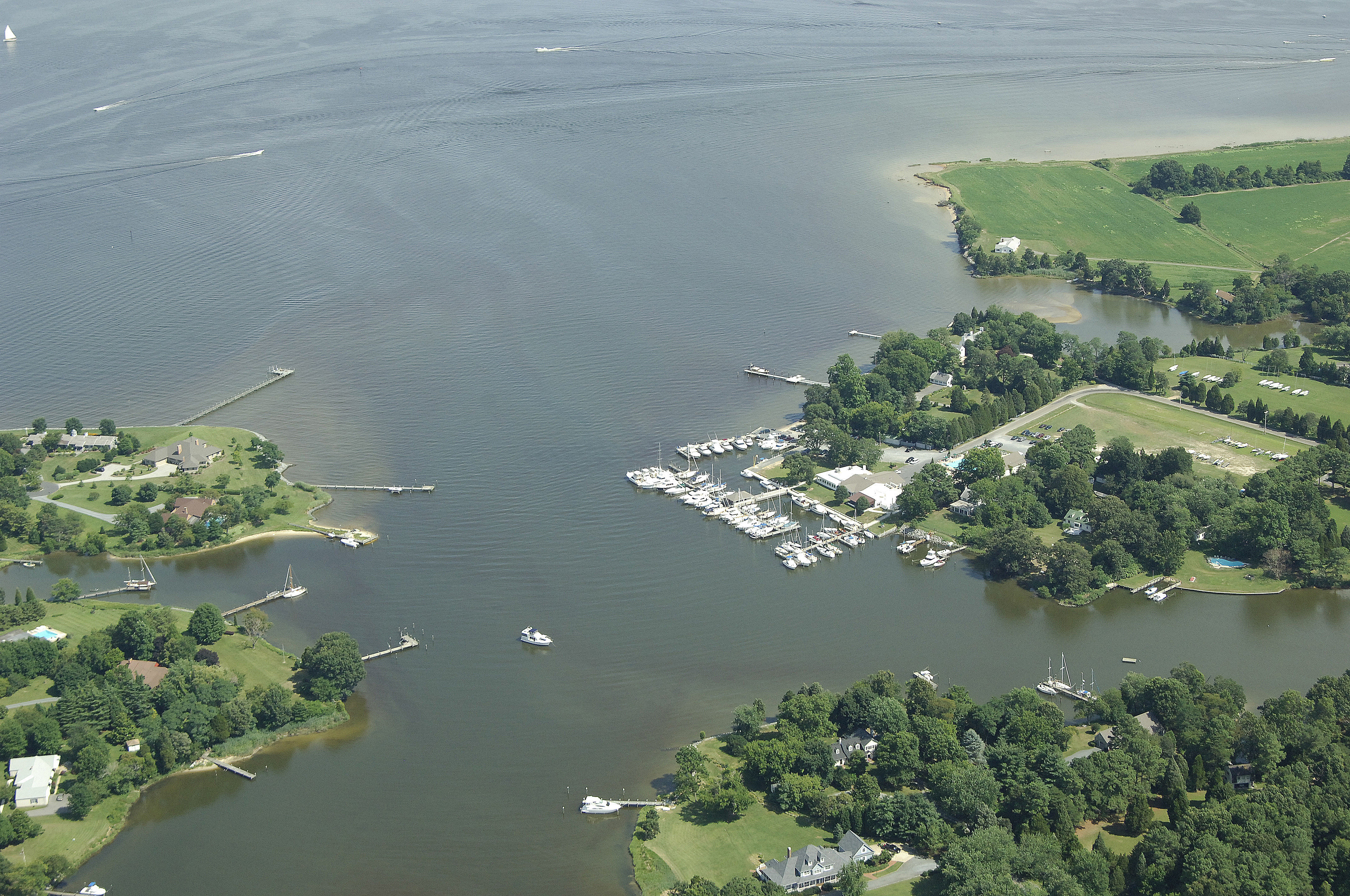
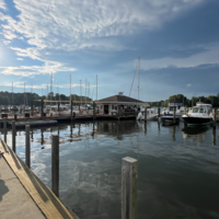
Long Haul Creek is home to the Miles River Yacht Club, and also an excellent place to drop the hook if you are looking for a little more solitude than Saint Michaels can offer. Long Haul Creek is located on the western shore of the opening to the Miles River just a mile or less downstream from Saint Michaels. If you are lucky, you may even catch a glimpse of the Miles Rivers log canoe races, which feature hundreds-year-old log canoes with expansive sets of sails going like blazes trying to sty upright. A fun treat to watch.
Navigating the Water:
Use NOAA Chart 12270.
Approaching from the mouth of the Miles River off Eastern Bay, pick up flashing green 1 near Deepwater Point, making sure to properly clear red daybeacon 14, marking the actual shoal itself. Once inside, red daybeacon 2 marks the opening to Long Haul Cove, where you can find excellent and quiet anchorage in 12- to 14-foot depths.
Local Notices to Mariners:
Local Notices to Mariners are available online from the U.S. Coast Guard.