Nanticoke River Inlet
| Nanticoke, Maryland United States | |
| 38° 14' 42.0'', -75° 55' 41.88'' | |
| Smith Island |


You might also consider...


About
Introduction:
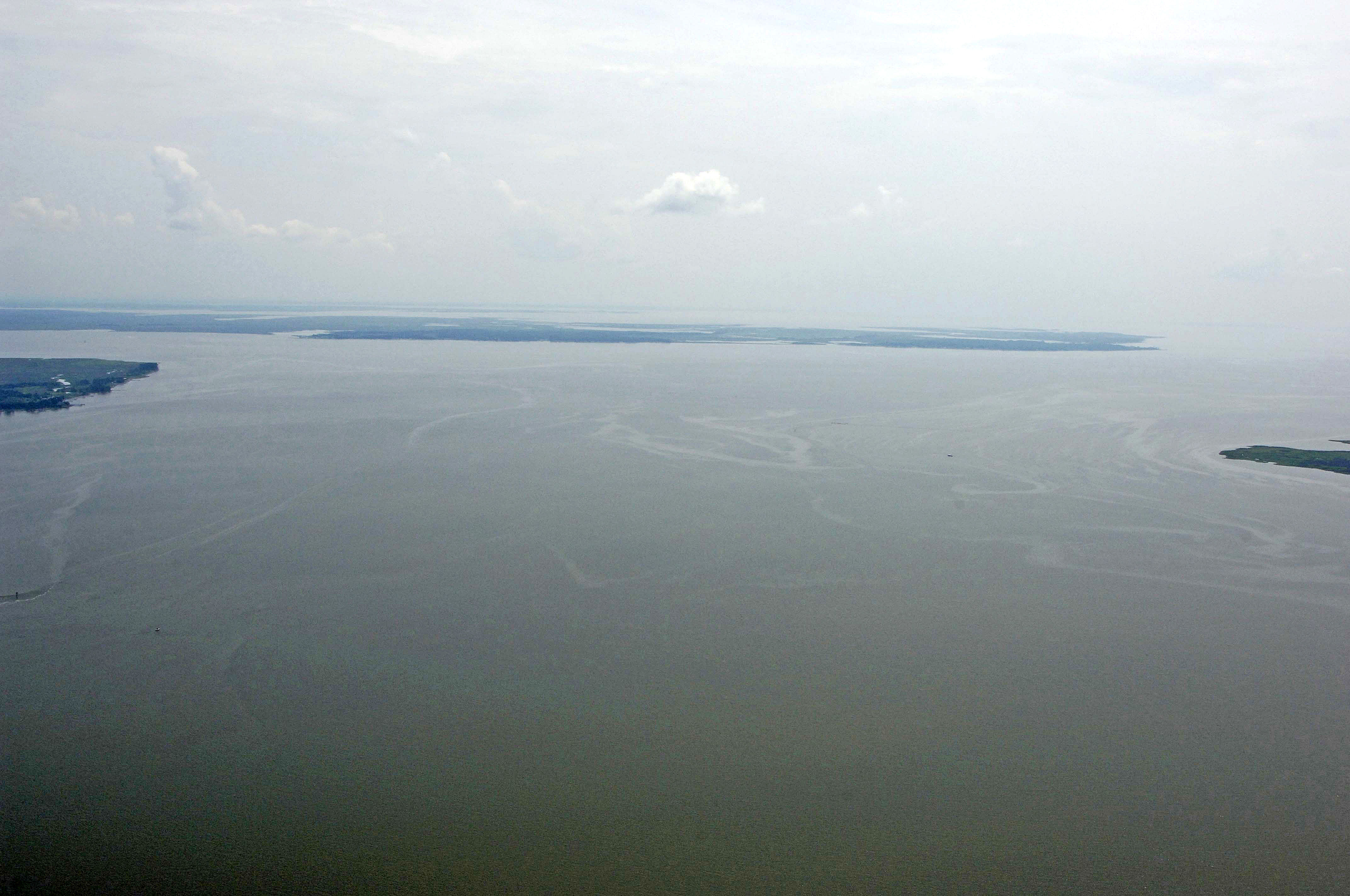
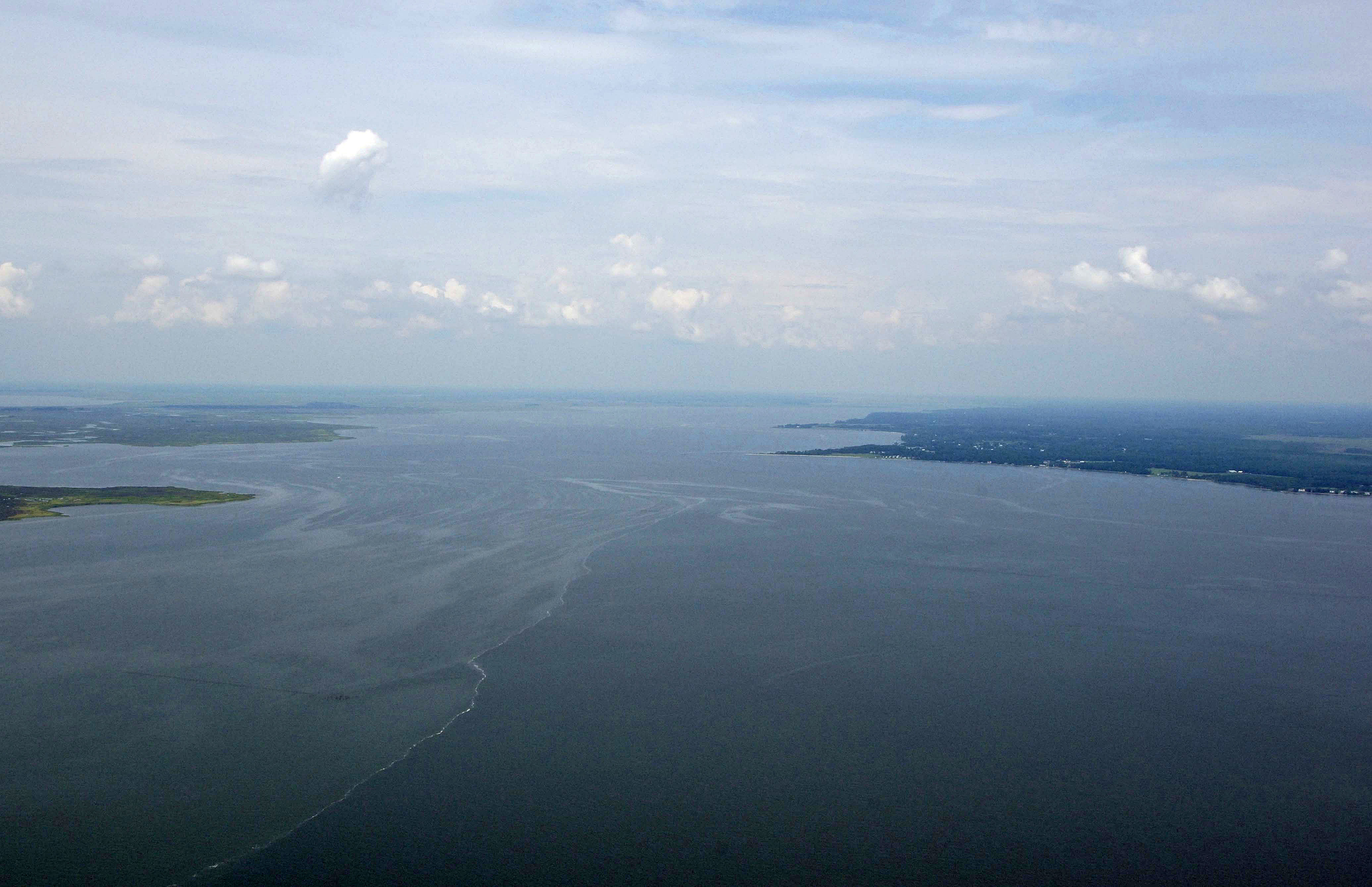
The Nanticoke River winds about 35 miles all the way to Seaford, DE from its start at Tangier Sound and the confluence with the Wicomico River. The Nanticoke River is a beautiful spectacle to behold with miles of lush green marsh that is home to thousands of different species of wildlife and aquatic animals.
Seaford is an important commercial port, and as such, commercial tows and barges make their way all the way to Seaford back regularly. What that means is 10-foot depths and an easy-to-navigate channel all the way to Seaford, less two 50-foot fixed vertical clearance bridges at Vienna and Sharptown.
Navigating the Water:
Use NOAA Chart 12261.
The Nanticoke River entrance is located just south of the town of Nanticoke at the confluence with the Wicomico River. The Nanticoke is heavily traveled by large commercial tugs and barges carrying gravel and sand, so a close lookout for these vessels is warranted.
From Tangier Sound, pick up flashing green 1N just south of Clay Island Shoal. From here you can start the entry into the Nanticoke toward flashing green 3, and then farther upstream.